


Browse by category
- Adaptive reuse
- Archaeology
- Arts and creativity
- Black heritage
- Buildings and architecture
- Communication
- Community
- Cultural landscapes
- Cultural objects
- Design
- Economics of heritage
- Environment
- Expanding the narrative
- Food
- Francophone heritage
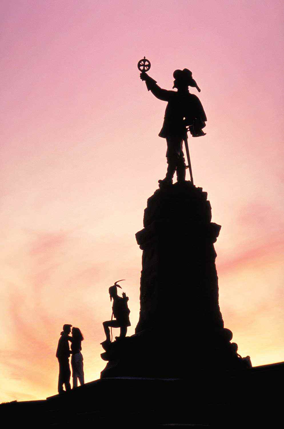
- Indigenous heritage
- Intangible heritage
- Medical heritage
- Military heritage
- MyOntario
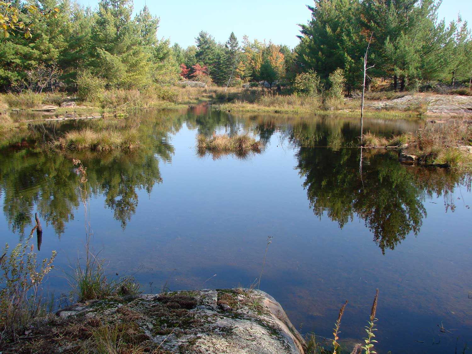
- Natural heritage
- Sport heritage
- Tools for conservation
- Women's heritage
- Home
- Adaptive reuse
- Archaeology
- Arts and creativity
- Black heritage
- Buildings and architecture
- Communication
- Community
- Cultural landscapes
- Cultural objects
- Design
- Economics of heritage
- Environment
- Expanding the narrative

Expanding the narrative
 This is part of a broader conversation about whose history is being told, about gender, people of colour and the economically disenfranchised, and others whose stories have been overlooked or intentionally omitted from the authorized discussion.
- Food
- Francophone heritage
- Indigenous heritage
- Intangible heritage
Intangible heritage
Intangible cultural heritage includes language, traditions, music, food, special skills, etc.
- Medical heritage
- Military heritage
- MyOntario
- Natural heritage
- Sport heritage
- Tools for conservation
- Women's heritage
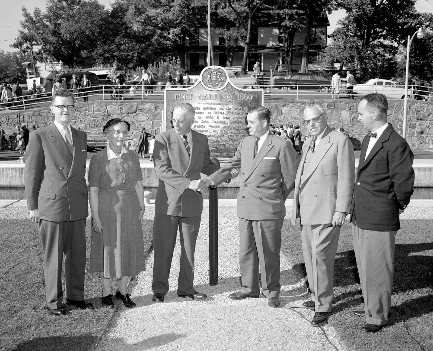
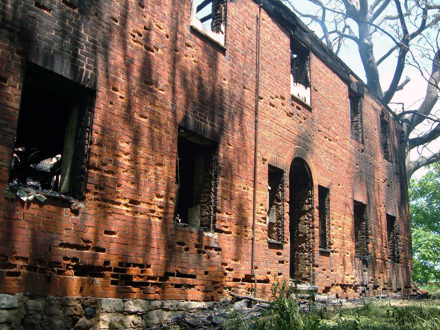
Hurricane Hazel 50 years later
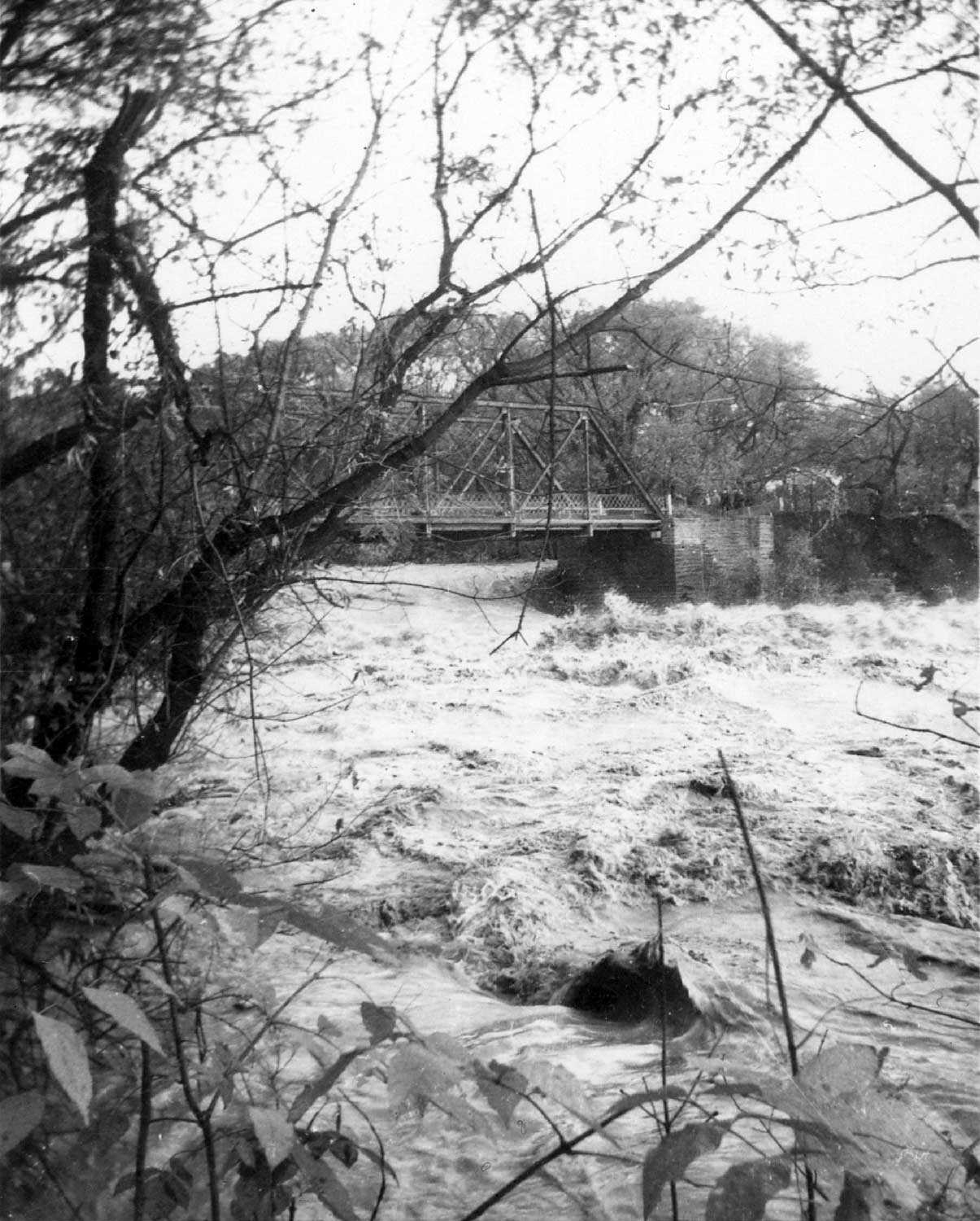

"A provincial plaque marking the 50th anniversary of Hurricane Hazel was unveiled by the Ontario Heritage Foundation and The Humber Heritage Committee on October 16, 2004. The plaque, located in King’s Mill Park in Etobicoke, is part of the Foundation’s Provincial Plaque Program that commemorates significant people, places and events in Ontario’s history. Since 1953, more than 1,160 of these distinctive blue and gold plaques have been unveiled."
There was little warning about Hurricane Hazel – one of the worst storms in Canada’s history. At the time, few Canadians paid attention to tropical storms. But when Hurricane Hazel struck southern Ontario at rush hour on October 15, 1954, that complacency disappeared.
Buffeted by winds of up to 110 km/h, over 200 mm of rain fell within 24 hours, causing rivers to overflow and flood communities across southern Ontario. The storm killed 81 people and left thousands homeless. Property damage – with homes and bridges washed out – was estimated at over $180 million. But the legacy of this catastrophe was the development of a sophisticated provincewide weather warning system, measures to conserve watersheds of major rivers and a flood warning and control system.
“Hurricane Hazel devastated Toronto, and left our city reeling,” said Toronto Mayor David Miller. In its wake, the storm had dumped 181.6 billion litres of rain on the city. Rivers swelled, flooding railway lines and highways. Many guests at the plaque unveiling in October 2004 recalled seeing refrigerators and bodies floating downriver as they viewed the devastation from bridges left unscathed.
“The extent of the flood waters and the people who perished touched the lives of almost everyone in the Toronto area,” said Madeleine McDowell, Chair of the Humber Heritage Committee, “but most particularly in its largest watershed, the Humber, where the greatest loss was felt.”
The damage from the storm in this area was catastrophic. Floodwaters swept away 14 homes on Raymore Drive on the west side of the river just south of Lawrence Avenue and killed 32 residents in one hour. In areas where floodplains had been drained and developed for housing, the damage to homes was extensive. Many lessons, however, were learned from Hurricane Hazel. The Province of Ontario established a flood forecasting and warning system, managed by representatives from all three levels of government. Flood control facilities were studied, upgraded or constructed. Dams, three lakes and several reservoirs were also built to control water levels and monitor the flow of rivers and streams. As a result of Hurricane Hazel, homes on low-lying lands were cleared. Greenbelts were established in watershed areas as part of a broad system of Toronto and area parks. Conservation authorities throughout southern Ontario were either formed or given greater support to manage these parks in areas prone to flooding.
“Certainly the forces of nature continue to display their awesome powers,” said The Honourable Lincoln M. Alexander, Chairman of the Ontario Heritage Foundation, “but Hurricane Hazel forever changed the way we prepare ourselves for such events.”
RelatedStories
- 01 Oct 2019
- Economics of heritage
Buildings and architecture
Community
Adaptive reuse - Author: David Leonard,
How Doors Open Ontario activates the province’s communities
The Ontario Heritage Trust’s Doors Open Ontario program works with communities and partners to open the doors, gates and courtyards of Ontario’s most unique and...![]()
- 01 Oct 2019
- Economics of heritage
Buildings and architecture
Arts and creativity
Community
Adaptive reuse - Author: Christina Jennings,
Quiet on the set
Shaftesbury is the company behind the hit television series Murdoch Mysteries and Frankie Drake Mysteries, both of which air on CBC in Canada and are...![]()

- 01 Oct 2019
- Economics of heritage
Buildings and architecture
Community
Adaptive reuse - Author: Emily Sajdak,
The economic halo effect of sacred places: Measuring civic impact in an innovative new way
Nestled in the old city of Philadelphia, Pennsylvania, Old St. George’s United Methodist Church is a “mother church” of the denomination and the oldest Methodist...![]()

- 01 Oct 2019
- Economics of heritage
Buildings and architecture
Community
Adaptive reuse - Author: Erin Semande,
Case study: Brockville Railway Tunnel
Location: 1 Block House Island Road, BrockvilleOwner: City of BrockvillePartners: Brockville Railway Tunnel Committee (plus countless generous donors)Original use: Canada’s first railway tunnel and part...![]()
- 01 Oct 2019
- Economics of heritage
Buildings and architecture
Community
Food
Adaptive reuse - Author: Erin Semande,
Case study: Mudtown Station Brewery and Restaurant (Owen Sound)
Location: 1198 1st Avenue East, Owen SoundOwner: City of Owen SoundPartners: Kloeze Family (Mudtown Station Inc.)Original use: Passenger train station (Owen Sound Canadian Pacific Railway...![]()

- 01 Oct 2019
- Economics of heritage
Buildings and architecture
Community
Adaptive reuse - Author: John Coleman,
Learning from the past
Heritage has always been at the heart of the University of Windsor’s ambitious plan to preserve the century-old Windsor Armouries and transform the building into...![]()
Museums and heritage: Building livable communities through soft power
Museums and heritage are engines of urban redesign and revitalization. Lord Cultural Resources has worked in 450 cities worldwide on some 2,600 museums, cultural plans...![]()
- 01 Oct 2019
- Economics of heritage
Archaeology
Community - Author: Donovan Rypkema,
Nine ways that heritage conservation is good for the economy
Advocates for heritage conservation have traditionally made their case on the basis of architectural character, cultural significance, social relevance, esthetic quality and other values of...![]()
- 01 Oct 2019
- Indigenous heritage
Community - Author: Kayleigh Speirs and Art Hunter,
Present. Preserve. Protect.
Kay-Nah-Chi-Wah-Nung Historical Centre, the Place of the Long Rapids, is a historically significant meeting place located along the banks of Manidoo Ziibi (Spirit River or...![]()
- 01 Oct 2019
- Economics of heritage
Buildings and architecture
Community
Adaptive reuse - Author: Kiki Aravopoulos,
Case study: Thunder Bay District Courthouse
Location: 277 Camelot Street, Thunder BayOwner: David Sun, Business owner/InvestorPartners: Ascend HotelsOriginal use: CourthouseCurrent use: Hotel The former Thunder Bay District Courthouse sits perched atop...![]()

- 01 Oct 2019
- Economics of heritage
Community - Author: Jan Hawley et Carolyn Parks Mintz,
From adversity to the stars
The rural Municipality of Huron East is a composite of rolling farmland and historical settlements dating back to the mid-1800s. Although agriculture, manufacturing and a...![]()
- 01 Oct 2019
- Economics of heritage
Buildings and architecture
Community
Adaptive reuse - Author: Jennifer Campbell,
Heritage builds vibrant communities and cultural economies in Kingston
In 2010, the City of Kingston released its first Culture Plan – a document that shared a sustainable, authentic, longterm vision for cultural vitality in...![]()
- 01 Oct 2019
- Economics of heritage
Buildings and architecture
Community
Adaptive reuse - Author: Paul Shaker,
The economic value of heritage districts: How assessment growth in heritage conservation districts compares with non-designated areas in Hamilton
There are competing views about the value of heritage properties. On the one hand, there is a growing consensus on the esthetic and economic development...![]()
- 01 Oct 2019
- Economics of heritage
Buildings and architecture
Environment
Community
Adaptive reuse - Author: Clare Ronan,
Reside: When heritage preservation translates to affordable housing
Raising the Roof is a Canadian charity that provides national leadership in homelessness prevention through various initiatives. Reside is one such project that creates affordable...![]()
- 01 Oct 2019
- Economics of heritage
Buildings and architecture
Community
Adaptive reuse - Author: Thompson M. Mayes,
Old places support a sound, sustainable and vibrant economy
In Why Old Places Matter, I wrote about the many reasons that old places help people flourish. Yet, I intentionally saved the discussion of how...![]()

- 01 Oct 2019
- Economics of heritage
Buildings and architecture
Community
Adaptive reuse - Author: Beth Hanna,
Revitalizing communities – The power of conservation
Over the past few years, I’ve spoken and written extensively about value – exploring questions of what we protect, how we make those decisions, and...![]()
- 20 Mar 2019
- Community
Communication - Author: Beth Hanna,
Communication – Forging community, building understanding, shaping society
Humans have always shared an interest in communicating with one another – to exchange stories, experiences, ideas, thoughts. To be in community with one another...![]()

- 17 Feb 2017
- Community
- Author: The Honourable Elizabeth Dowdeswell,
The conscience of our province
Ontario’s Legislative Building, completed in 1893, is a magnificent structure filled with stories from the most significant moments in our province’s modern history. The place...![]()
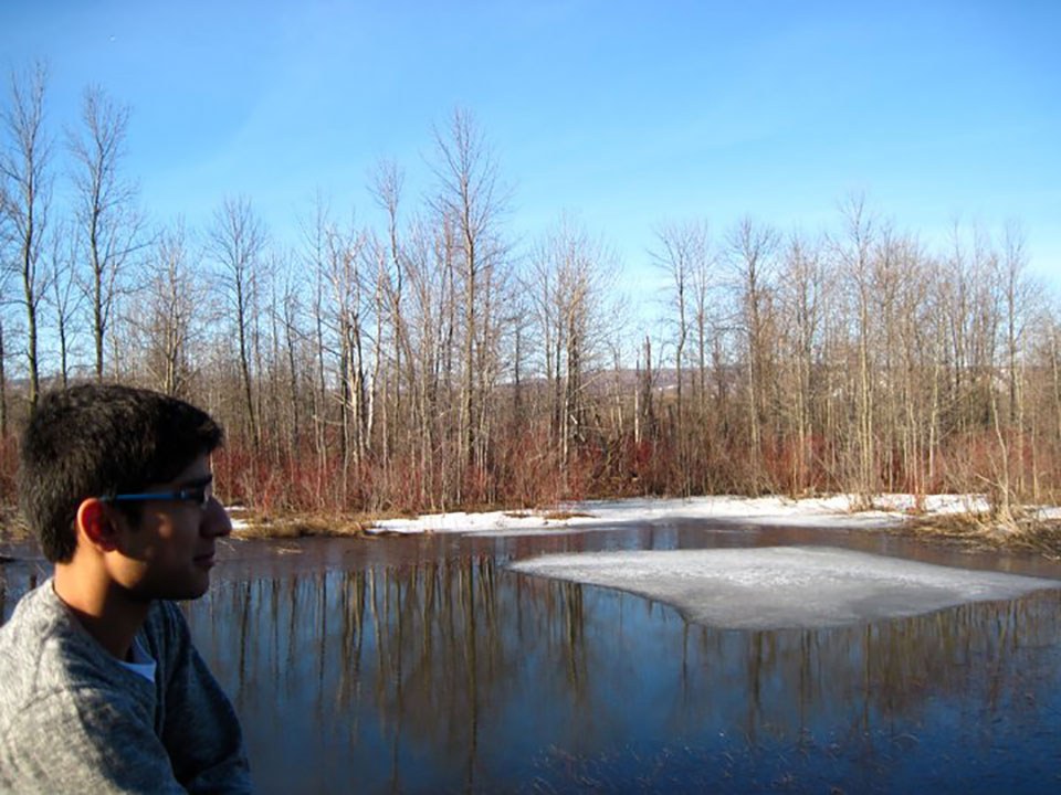
- 17 Feb 2017
- Natural heritage
- Author: Muhammad Qureshi,
Our natural fingerprint
The magic began on a cold autumn afternoon after a hockey game with friends. I was walking home through a trail and the leaves had...![]()

- 17 Feb 2017
- Natural heritage
MyOntario - Author: Steve Paikin,
Heaven on earth
A month before Ontario turns 150 years old, I’ll celebrate my 57th birthday. I’ve lived all but one of those years in the province of...![]()
- 17 Feb 2017
- Natural heritage
MyOntario - Author: Yannick Bisson,
Reconnecting with nature
My first visit to Ontario, from Québec, was at about age 8. I have a distinct memory of arriving by car down the Don Valley...![]()
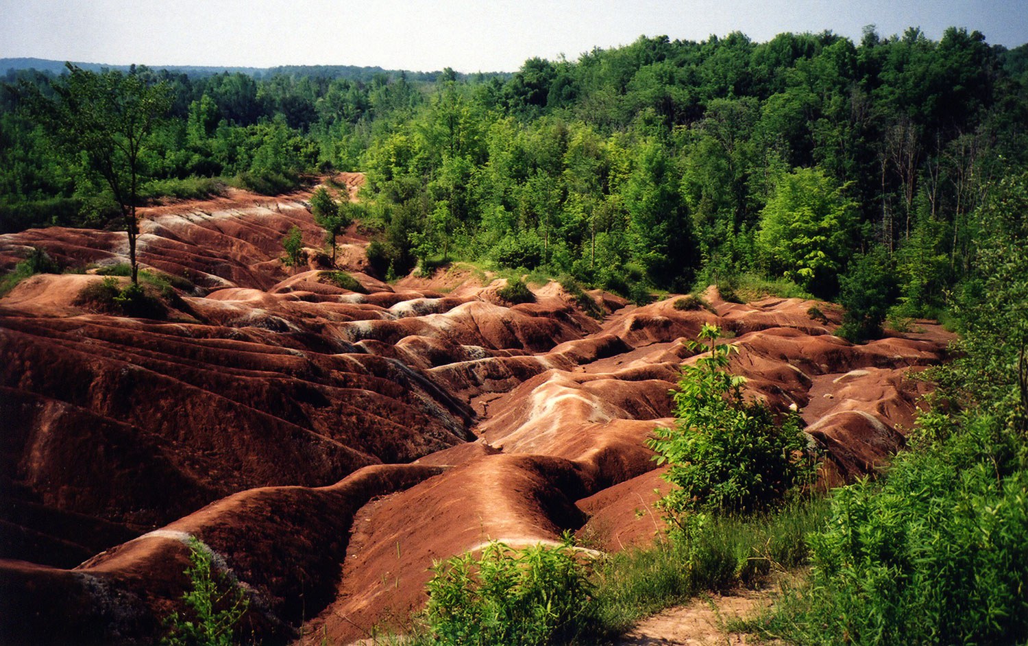
- 17 Feb 2017
- Natural heritage
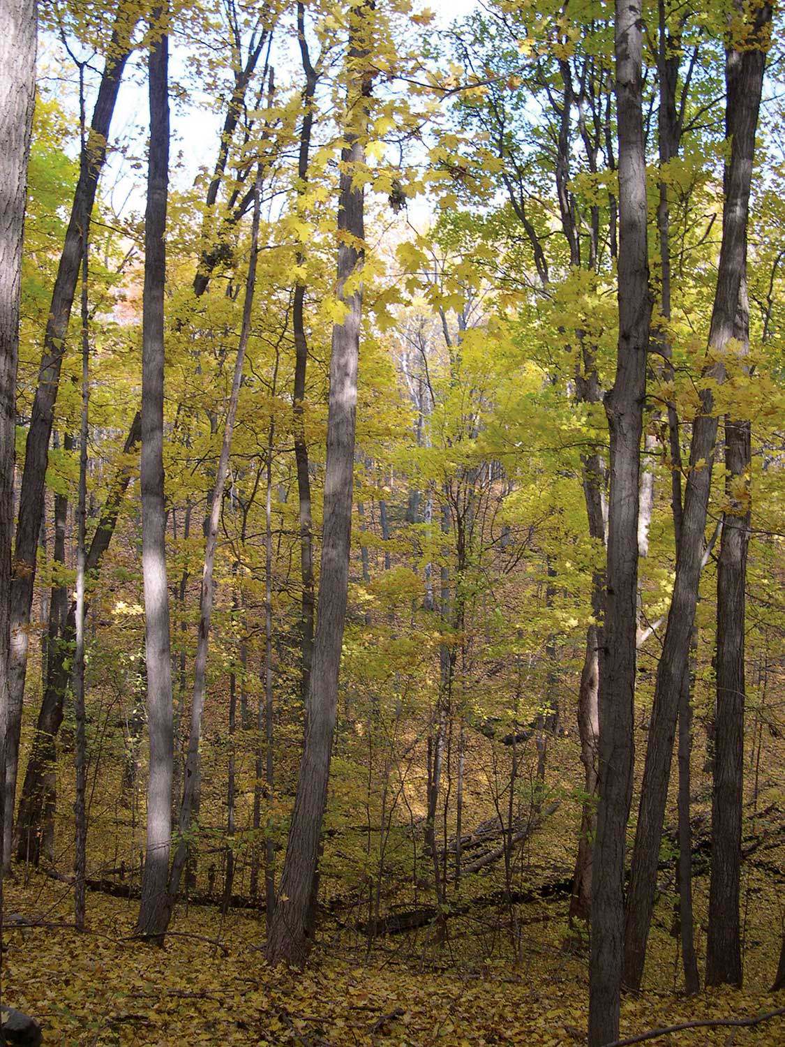
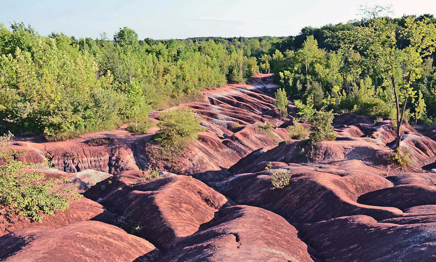
MyOntario - Author: Joseph Desloges,
Celebrating the Chinguacousy Badlands
The Chinguacousy (“land of the young pines”) Badlands have been visited by hundreds of thousands of Ontarians. This rapidly eroding clay-shale bedrock at the foot...![]()

- 17 Feb 2017
- Natural heritage
MyOntario - Author: Michael Runtz,
Drawn back to Algonquin
Being a lifelong naturalist whose goal has been to explore Ontario’s natural history, I’ve come to appreciate just how rich this province’s biodiversity is. The...![]()
- 05 Dec 2014
- Buildings and architecture
Community - Author: Valerie Verity,
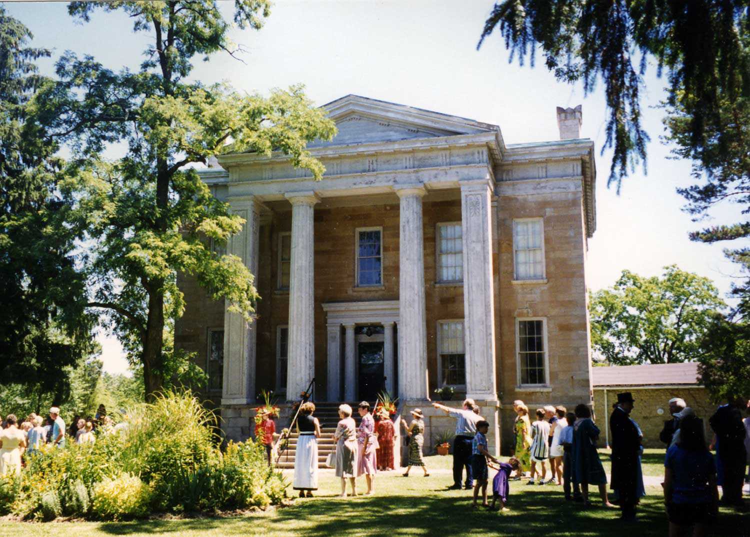
A story of two families
What a story the Macdonell-Williamson House and property can tell! Its location – with a commanding view overlooking the Ottawa River (where goods and people...![]()
- 05 Dec 2014
- Indigenous heritage
Natural heritage - Author: Erin Semande,
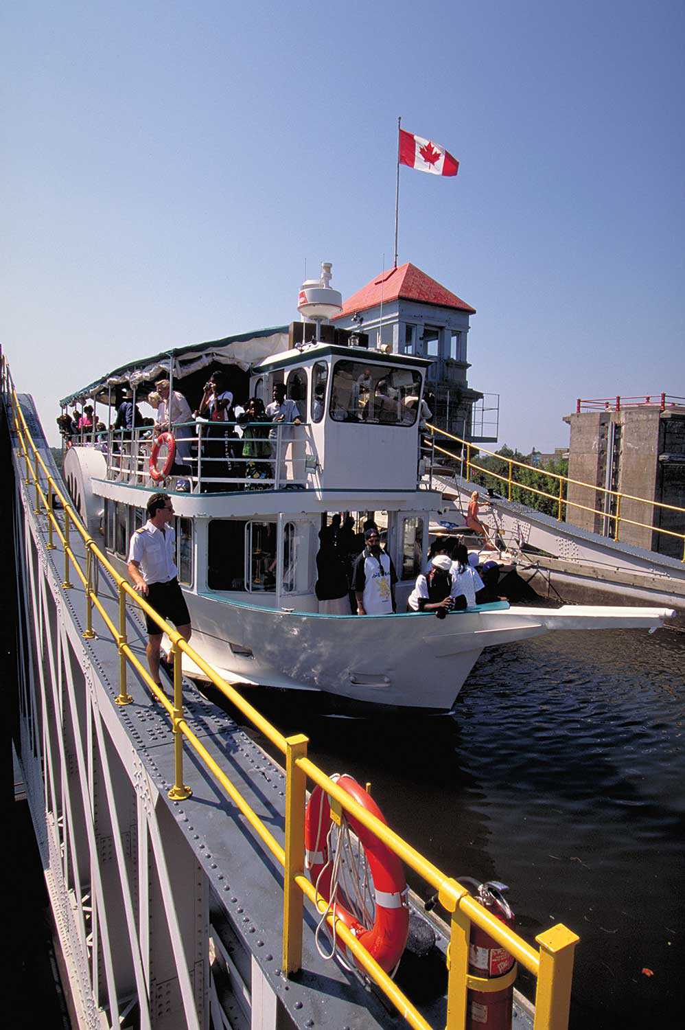
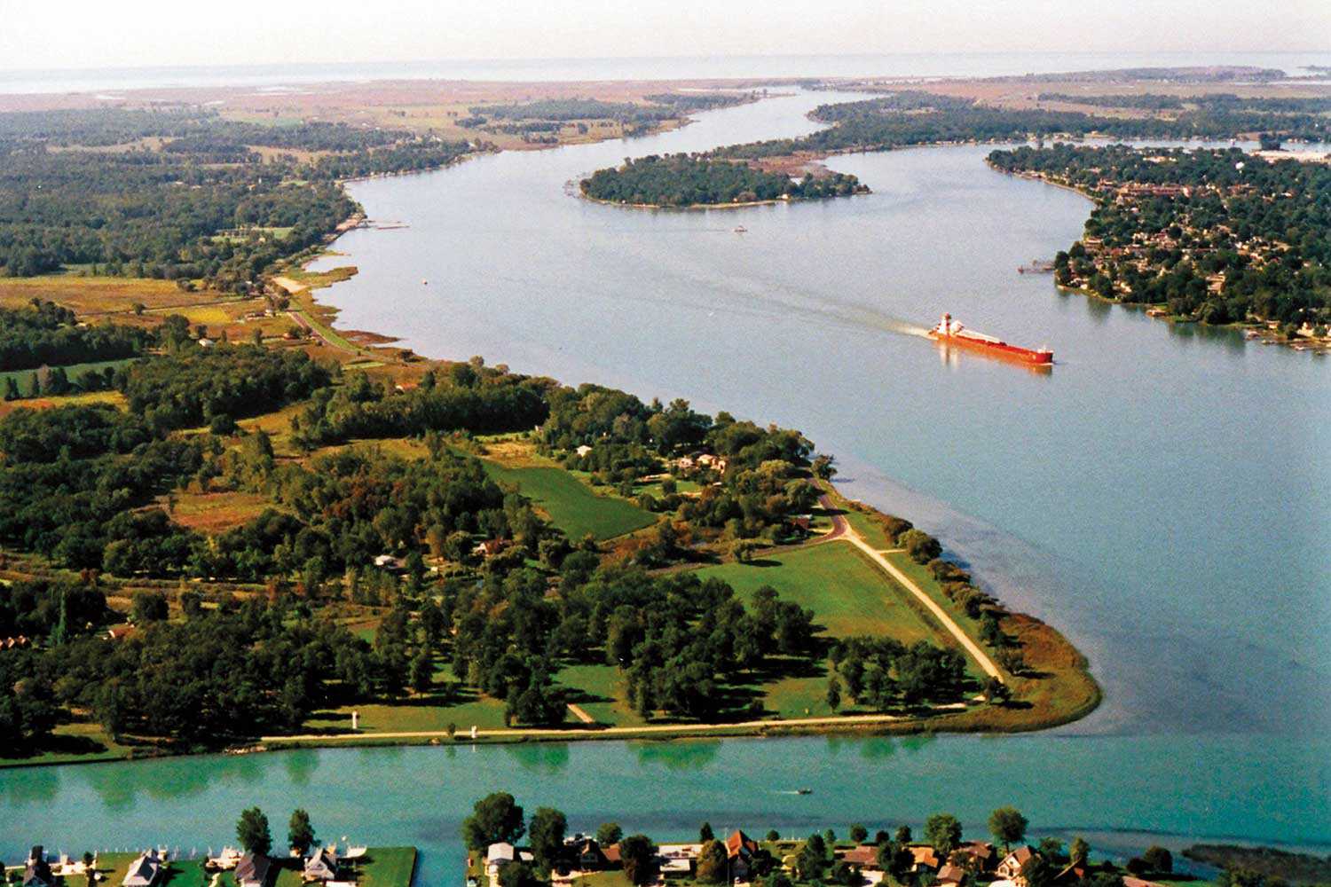
Along the Ottawa River
The original Trans-Canada Highway The Ottawa River is one of Canada’s most important transportation routes, playing an integral role in many of the key stories...![]()
![J.E. Sampson. Archives of Ontario War Poster Collection [between 1914 and 1918]. (Archives of Ontario, C 233-2-1-0-296).](https://www.heritage-matters.ca/uploads/Articles/Victory-Bonds-cover-image-AO-web.jpg)
- 14 Feb 2014
- Military heritage
Community - Author: Wayne Kelly,
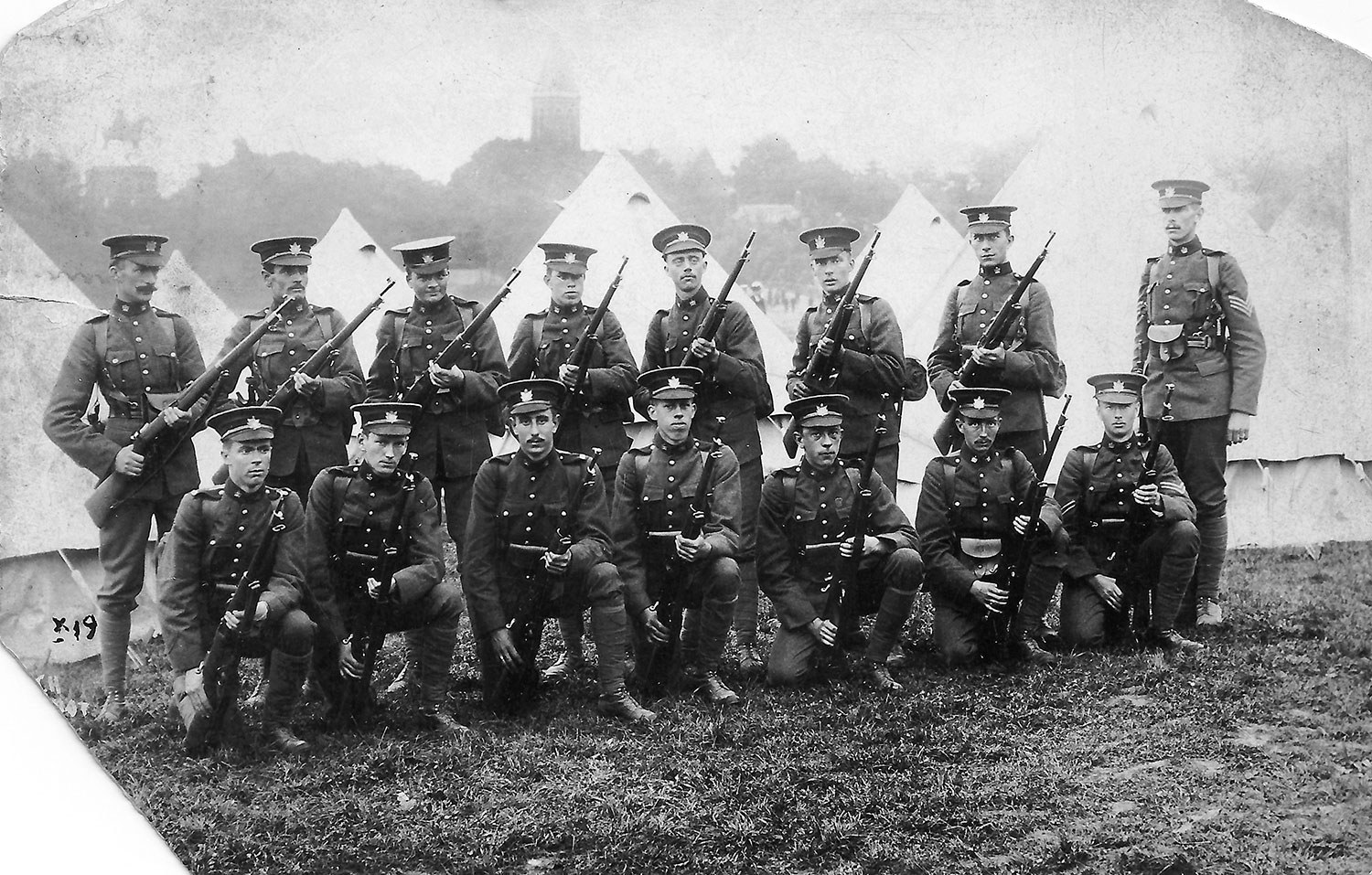
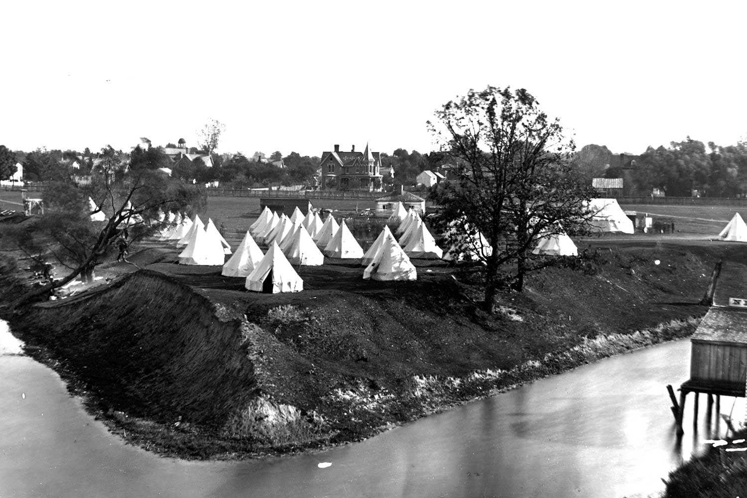
On the eve of war: Ontario in 1914
What was life like in Ontario during those years before the First World War? Before the war that saw men leave their families and friends...![]()
- 14 Feb 2014
- Military heritage
Community - Author: Jonathan F. Vance,
Fighting power: Ontario soldiers in the making
That Canadians are an unmilitary people has become something of a cliché. But a look back at Ontario in the summer of 1914 might leave...![]()
- 14 Feb 2014
- Military heritage
Community - Author: Erin Semande,
The end of an era
The years before the Great War are often romanticized as a series of garden parties, Sunday afternoon strolls in the park, stopping everything for afternoon...![]()
- 10 May 2013
- Community
Tools for conservation - Author: Robert Tremain,
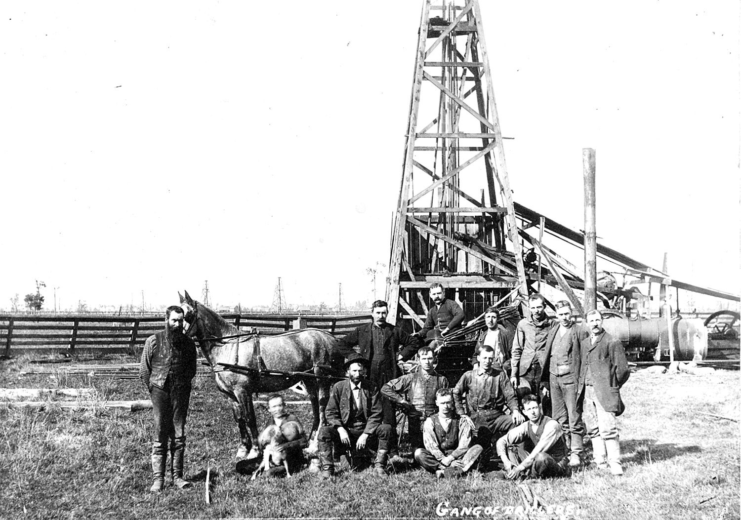
Oil Springs Heritage District: Working from the ground up
In the mid-19th century, southwestern Ontario was Canada West’s last frontier, where lines of travel, civility and comfort faced the untamed. From these impassable wetlands...![]()
- 10 May 2013
- Buildings and architecture
Community
Tools for conservation - Author: Jim Leonard,
Heritage conservation districts: The most popular tool in the heritage toolkit?
When the Ontario Heritage Act came into force in 1975, municipalities across the province suddenly had the authority to protect and enhance “groups of properties...![]()
- 10 May 2013
- Buildings and architecture
Community
Tools for conservation - Author: Mark Warrack,
How districts change
Meadowvale Village – a once-small, rural village – is located on the Credit River at the north end of the City of Mississauga. In the...![]()
- 10 May 2013
- Buildings and architecture
Community
Tools for conservation - Author: Joan Mason,
Grassroots heritage: The stewards of New Edinburgh
Located in the City of Ottawa at the confluence of the Rideau and Ottawa rivers is the historical community of New Edinburgh. With its roots...![]()
- 10 May 2013
- Buildings and architecture
Community - Author: Stephen Ashton,
Heritage conservation people
Growing up in Port Hope fostered a belief that every community had an amazing main street. That ignorance was shaken when I returned from university...![]()
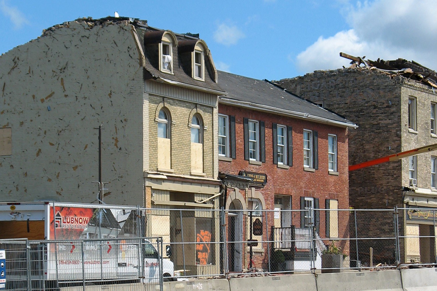
The Goderich story: A lesson in survival
For the past 18 months, West Street in Goderich has been as much a construction site as it has a place of service and retail...![]()
- 12 Oct 2012
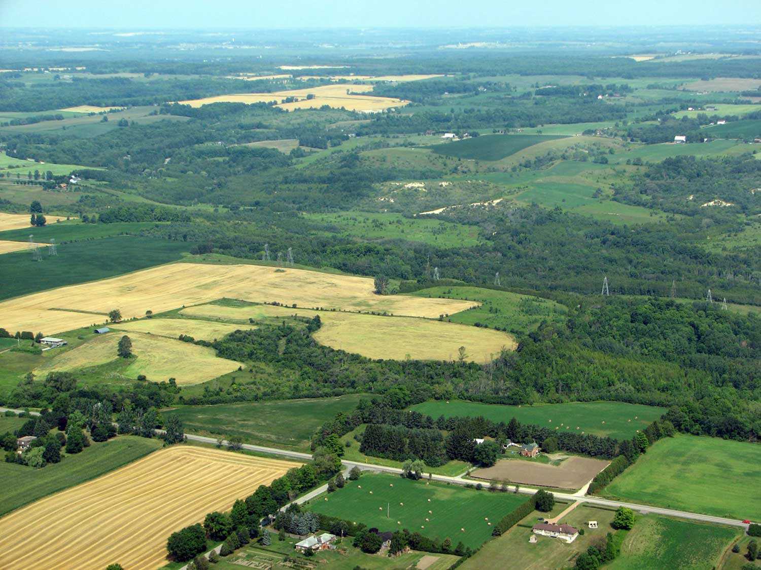
- Community
Cultural landscapes - Author: Catharine A. Wilson,
Coming together
Neighbourliness has always been a part of Ontario’s rich agricultural heritage. Much of what we view in the rural landscape today was once created by...![]()
- 10 Nov 2011
- Black heritage
Community - Author: Marie Carter,
Overcoming historical amnesia: Recognizing people of African descent as pioneers and community builders
Essential Canadian history often recognizes people of African descent solely through the heroic stories of the Underground Railroad. These stories alone, however, do not represent...![]()
- 31 May 2011
- Natural heritage
- Author: Patricia Lowe,
The Enniskillen Valley Land Acquisition Project: Making stewardship count
Through the Enniskillen Valley Land Acquisition Project, The Ontario Heritage Trust and the Central Lake Ontario Conservation Authority (CLOCA) have successfully partnered to acquire natural...![]()
- 31 May 2011
- Buildings and architecture
Natural heritage
Community
Tools for conservation - Author: Sean Fraser, Erin Semande and Mike Sawchuck,
Investing in preservation
It is an unfortunate reality that the preservation of our heritage remains the exception rather than the norm. What is a common-sense approach to living...![]()
- 28 Jan 2011
- Buildings and architecture
Community - Author: Michael Eamon,
Into the Kawarthas
When visitors first enter Peterborough’s stately city hall, they should look down. Inspired by the City Beautiful Movement – active in Canada from 1893 to...![]()
- 28 Jan 2011
- Expanding the narrative
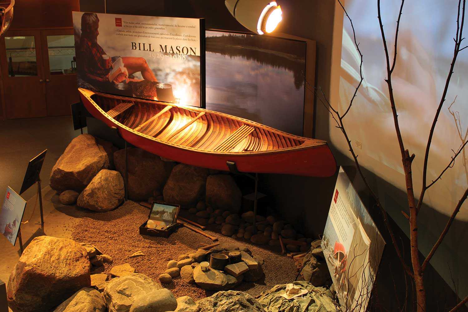
Community - Author: James Raffan,
CCM 3.0: Reimagining the Canadian Canoe Museum
A decade has passed since the permanent exhibits at The Canadian Canoe Museum (CCM) were opened to great acclaim. Funded with help from the federal...![]()
- 28 Jan 2011
- Buildings and architecture
Community
Adaptive reuse - Author: Barb McIntosh,
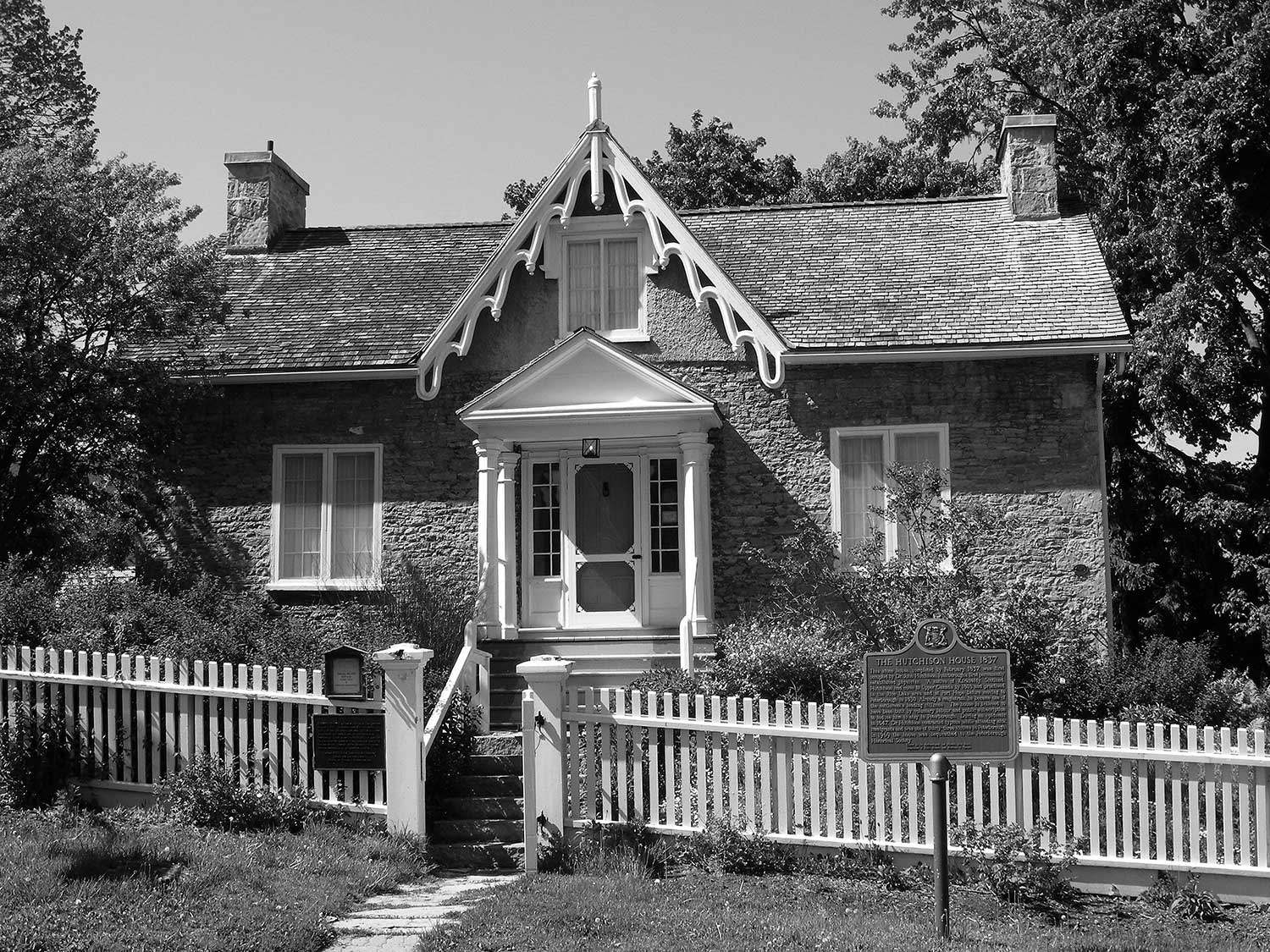
Peterborough’s Living History Museum
Hutchison House holds a special place in the social history of Peterborough. Local volunteers built the house in 1836 to persuade one of their first...![]()
- 07 Oct 2010
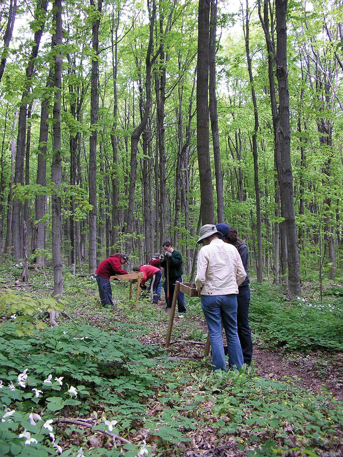
- Natural heritage
- Author: Andrew Sokolowski and Susie Cameron,
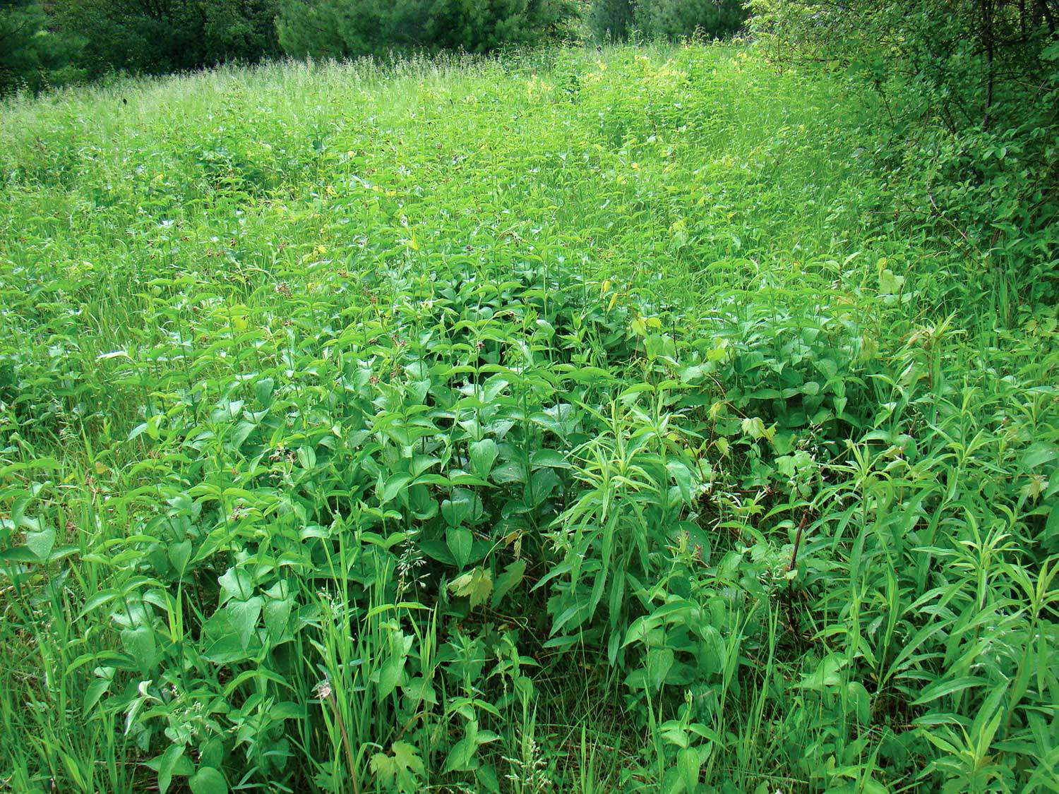
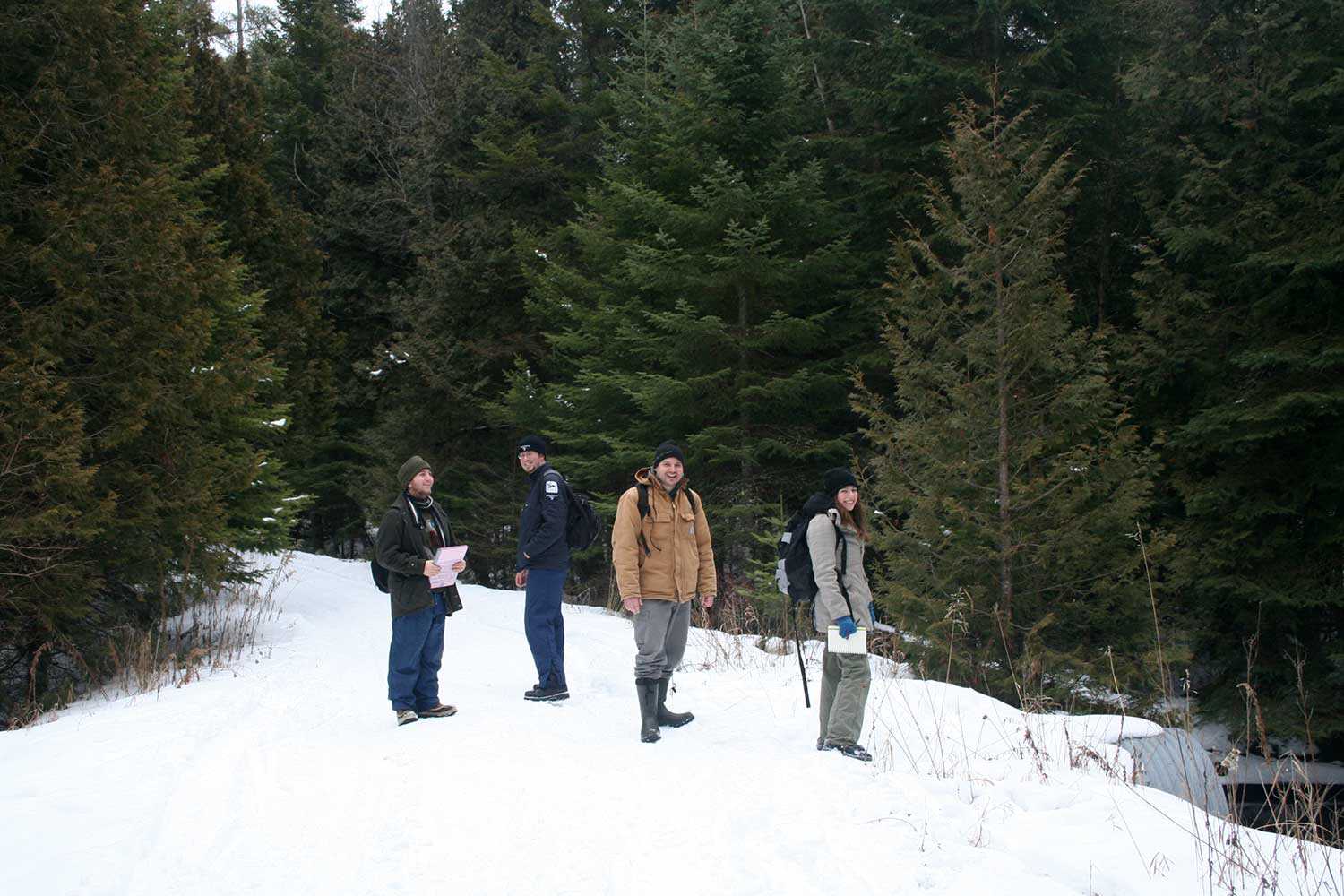
Reclaiming Fleetwood Creek
It’s hard to put a price on experience. Students enrolled in Sir Sandford Fleming College’s Ecosystem Management Technology (EMT) program understand this. During the program’s...![]()
- 07 Oct 2010
- Natural heritage
- Author: Lesley Smith,
A plantation management strategy for Fleetwood Creek Natural Area
Fleetwood Creek Natural Area, a 360-hectare (890-acre) property on the Oak Ridges Moraine, is valued for its unique post-glacial geographic features, diverse resident breeding bird...![]()
- 07 Oct 2010
- Community
Cultural landscapes - Author: Beth Anne Mendes,
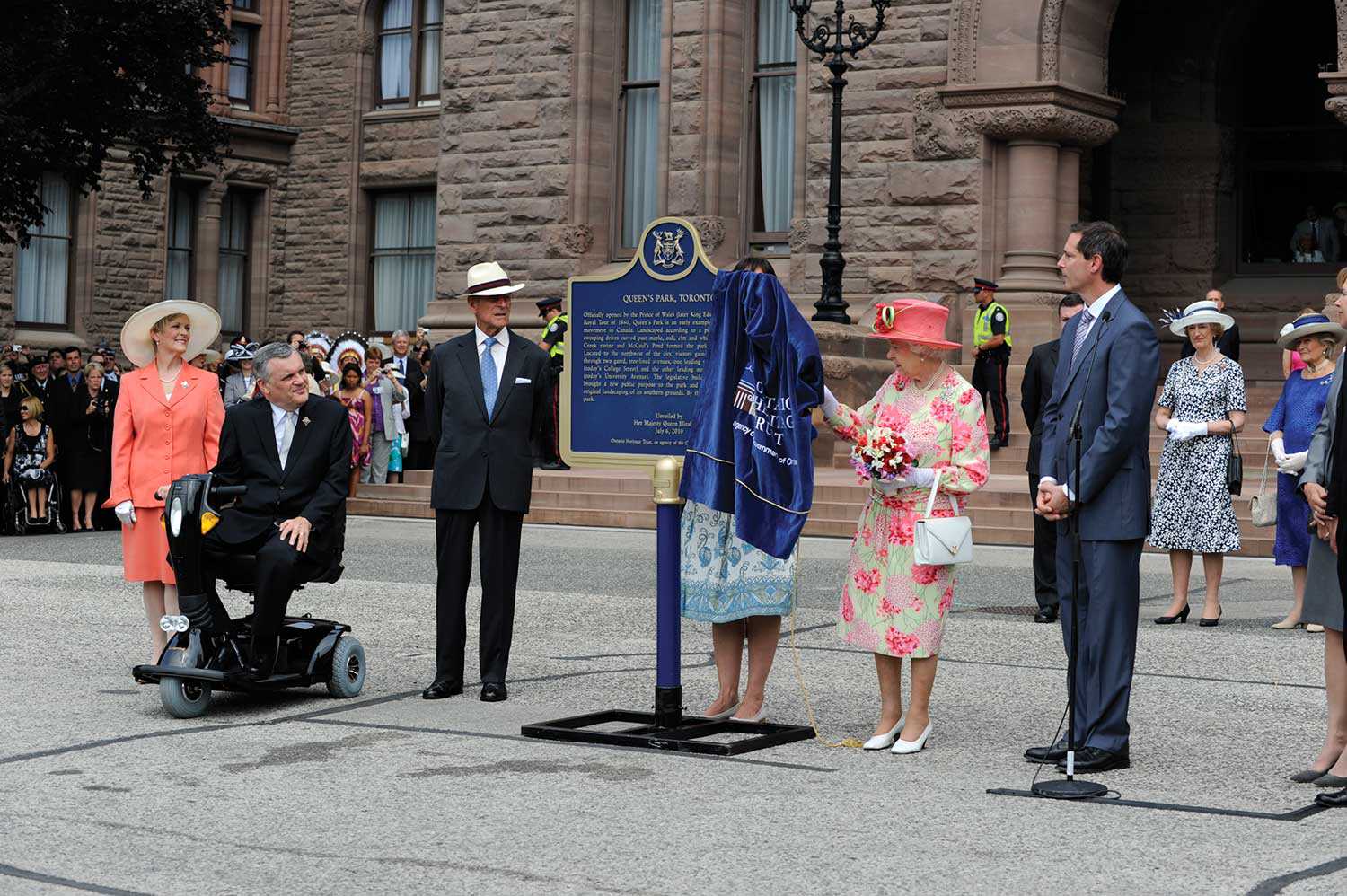
The People’s park
Queen’s Park, Toronto, was officially opened by the Prince of Wales (later King Edward VII) in September 1860, and was a forerunner of the late-19thcentury...![]()
- 07 Oct 2010
- Natural heritage
- Author: Jeremy Collins and Barbara Heidenreich,
Saving biodiversity, one property at a time
What do wetlands and forest nesting sites for northern goshawks in eastern Ontario have in common with south-central Ontario cold-water streams harbouring brook trout and...![]()
- 07 Oct 2010
- Environment
Natural heritage - Author: John Stille,
New life for an old property
Heritage restoration is not limited to old buildings. Natural heritage properties, too, can be restored or adapted to new uses for future generations to enjoy...![]()
- 07 Oct 2010
- Environment
Natural heritage - Author: Don Pearson, Barbara Heidenreich and Sean Fraser,
Biodiversity in Ontario: Taking up the challenge
Many are familiar with high-profile threatened species such as polar bears, whose habitat is in flux and whose numbers are dropping, or bald eagles, once...![]()

- 07 Oct 2010
- Environment
Natural heritage - Author: Rebecca Margel,
Working with stewards and partners
The Ontario Heritage Trust owns over 160 natural heritage properties and protects over 40 natural heritage sites with easements. Because the Trust cannot manage and...![]()

- 07 Oct 2010
- Natural heritage
- Author: Chris Earley and Brad Bass,
Enhancing urban biodiversity
Inside the Gosling Wildlife Gardens By Chris Earley Most gardeners are biodiversity geeks. “What little plant can I cram in there? Which spring bloomer can...![]()
- 06 May 2010
- Buildings and architecture
Community - Author: Ontario Heritage Trust,
Resources: Finding our place in Ontario’s history
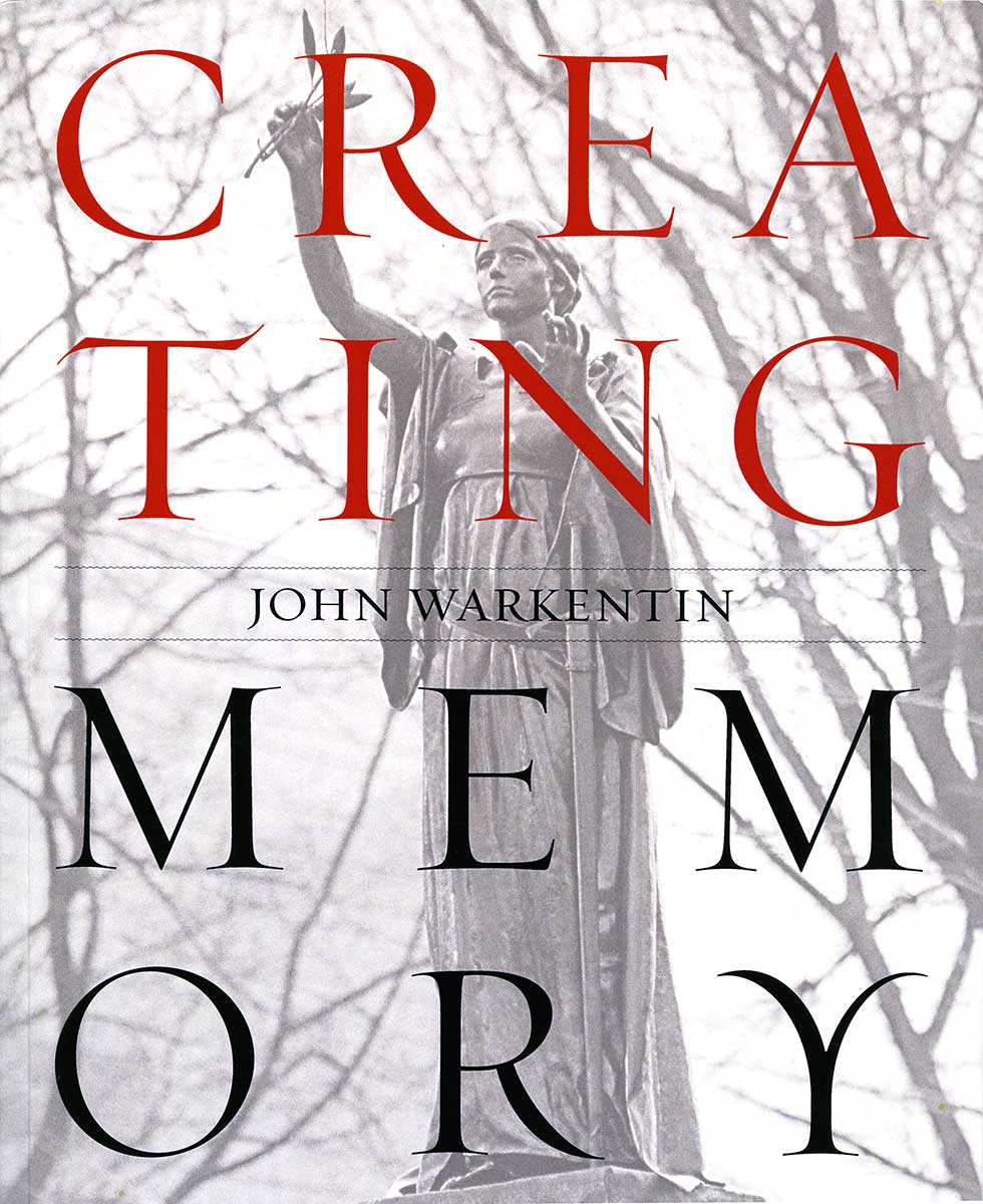
On the shelf Creating Memory, by John Warkentin Becker Associates, 2010. Toronto has over 6,000 public outdoor sculptures, works of art that provide a sense...![]()
- 06 May 2010
- Buildings and architecture
Community - Author: Regan Hutcheson and Leah Wallace,
Designations in bulk
Understanding Unionville, by Regan Hutcheson A visit to Unionville is like a journey back in time. Located north of Toronto in the heart of Markham...![]()
- 06 May 2010
- Buildings and architecture
Community - Author: Sally Coutts,
Leading by example
Ontario towns and cities have been designating properties under Part IV of the Ontario Heritage Act since the passage of the act in the 1970s...![]()
- 06 May 2010
- Buildings and architecture
Community - Author: Dave Benson,
Cataloguing a community
The amalgamated municipality of Chatham-Kent includes a number of early settlements that encompass thousands of heritage buildings. Recently, Heritage Chatham-Kent (HC-K), our municipal heritage committee...![]()
- 06 May 2010
- Community
- Author: Dr. Fraser Dunford,
Self-identifying
While we are all familiar with local archives, museums and libraries (and the materials they contain), you may be startled to discover what individual collections...![]()
- 11 Feb 2010
- Indigenous heritage
Natural heritage - Author: Clint Jacobs,
Bkejwanong: Sustaining a 6,000-year-old conservation legacy
Nestled at the mouth of the St. Clair River on Lake St. Clair in southwestern Ontario is the Walpole Island First Nation or “Bkejwanong,” meaning...![]()
- 11 Feb 2010
- Buildings and architecture
Community - Author: Evelyn G. McLean,
Walkerville: The heritage of a company town
Among the shrinking number of 19th-century company towns, Walkerville – part of the City of Windsor since 1935 – remains an outstanding example of what...![]()
- 11 Feb 2010
- Buildings and architecture
Community - Author: Kathryn McLeod,
Exploring Ontario’s southern peninsula
As you roam the highways and waterways of Ontario’s southern peninsula, a tapestry of stories unravels. These stories speak about settlement and growth, a testament...![]()
- 11 Feb 2010
- Buildings and architecture
Community
Cultural landscapes - Author: Dave Benson,
The history of Chatham-Kent
Chatham-Kent’s rich cultural heritage began long before European settlement when large stockaded villages and Neutral Indians dominated the Thames River and the Lake Erie-Lake St...![]()
- 10 Sep 2009
- Buildings and architecture
Community - Author: Alison Little,
A legacy of support: Faith-based community
Reaching out to those in need has long been a part of Ontario’s religious tradition. Faith-based groups offering medical and social assistance arrived with the...![]()
- 10 Sep 2009
- Buildings and architecture
Community - Author: Jennifer Drinkwater,
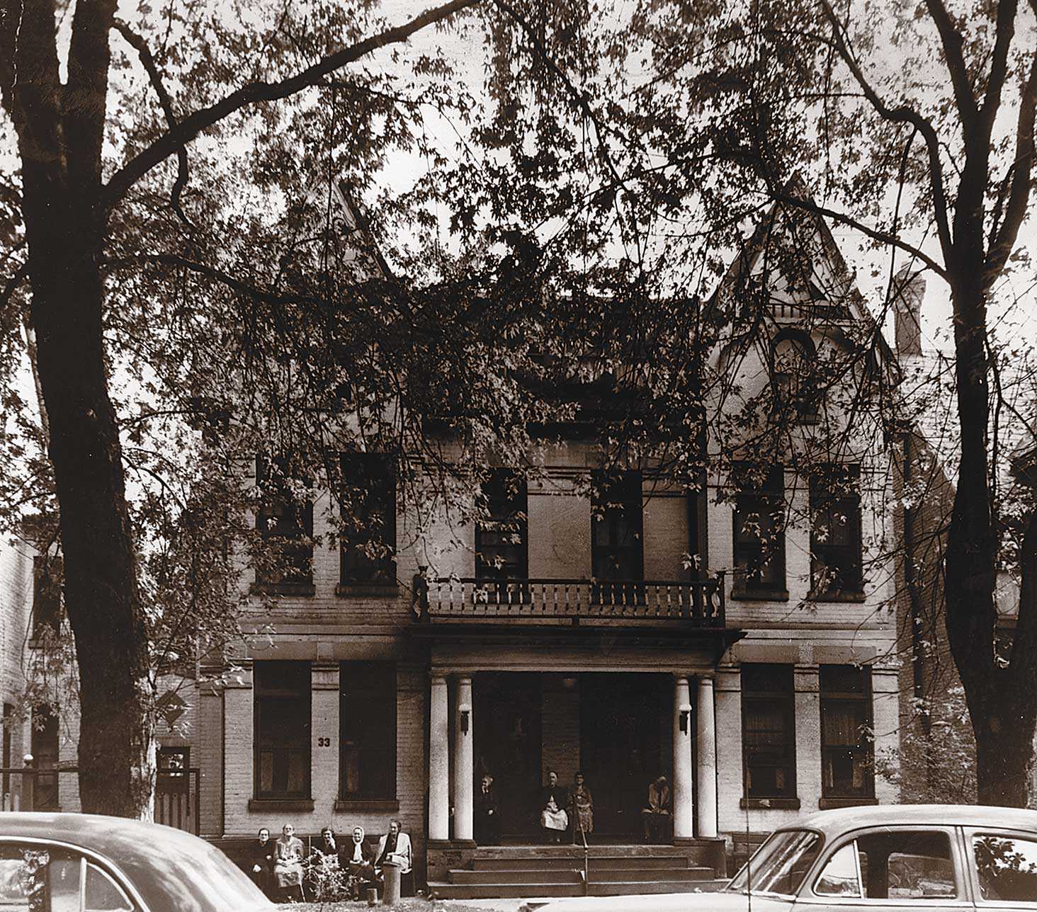
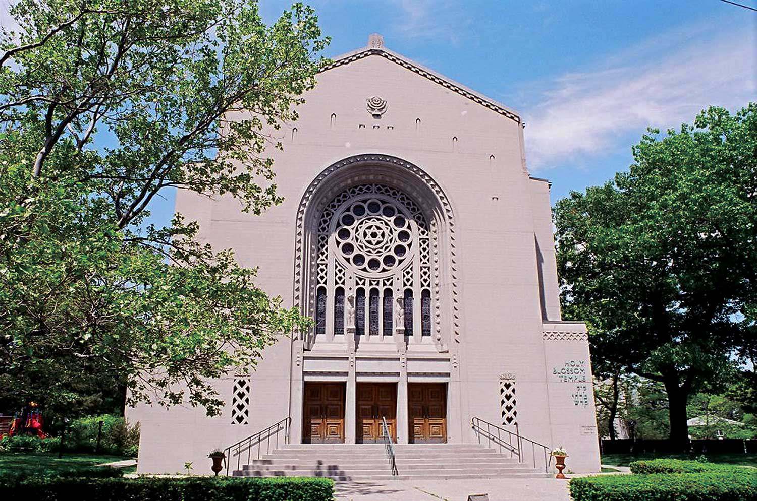
Toronto’s synagogues: Keeping collective memories alive
Collective memory is cultural memory – what is remembered about an event by a social or cultural group that experienced it and by those to...![]()

- 10 Sep 2009
- Buildings and architecture
Community - Author: David Cuming,
From Hamilton, a municipal perspective
Places of worship are often stunning buildings, constructed in forms and styles that have existed for thousands of years around the world, using specialized techniques...![]()
- 10 Sep 2009
- Buildings and architecture
Community - Author: Vicki Bennett,
Form and function: The impact of liturgy, symbolism and use on design
During the 19th century, the location, physical condition and stylistic merit of churches were publicly discussed as reliable indicators of a community’s value, moral fabric...![]()
- 10 Sep 2009
- Buildings and architecture
Community - Author: Jane Burgess and Ann Link,
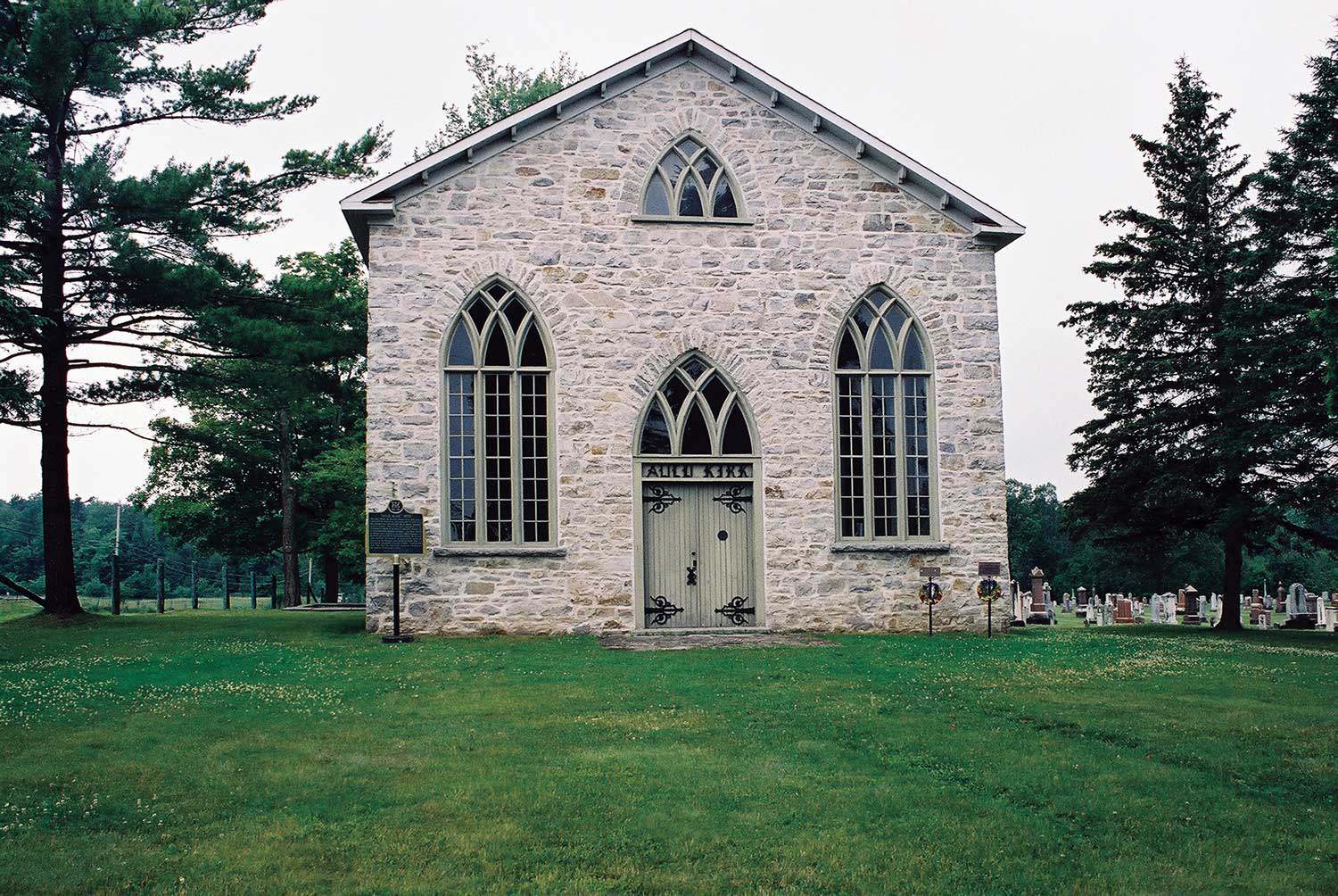
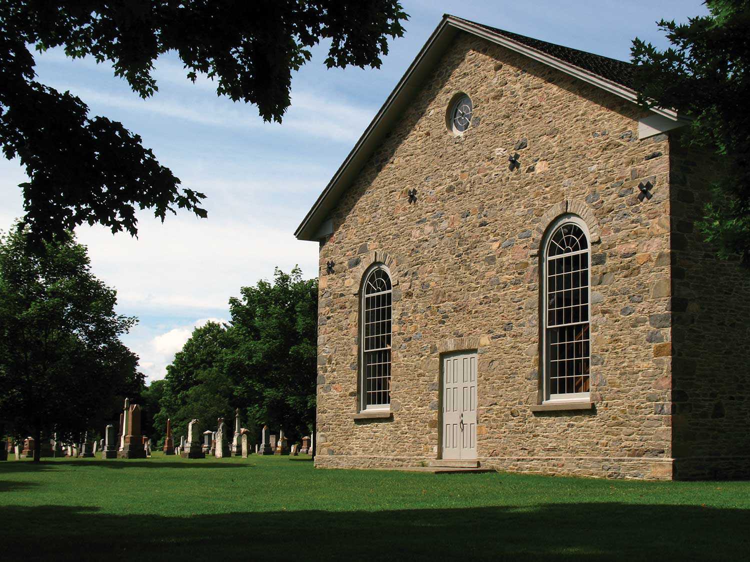
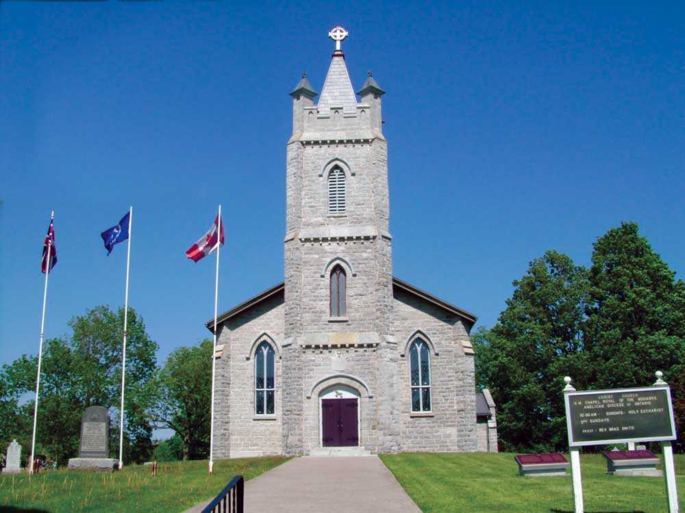
Enduring stewardship preserves a treasured heritage church
Located just east of Beaverton, the Old Stone Church, built in 1840 by a predominantly Scottish congregation, is a simple but handsomely proportioned small Georgian...![]()

- 10 Sep 2009
- Buildings and architecture
Community - Author: Laura Hatcher,
The changing face of worship
The architectural style, massing, materials and date stones of a place of worship offer clues about the congregation’s history and values. Likewise, the building’s size...![]()
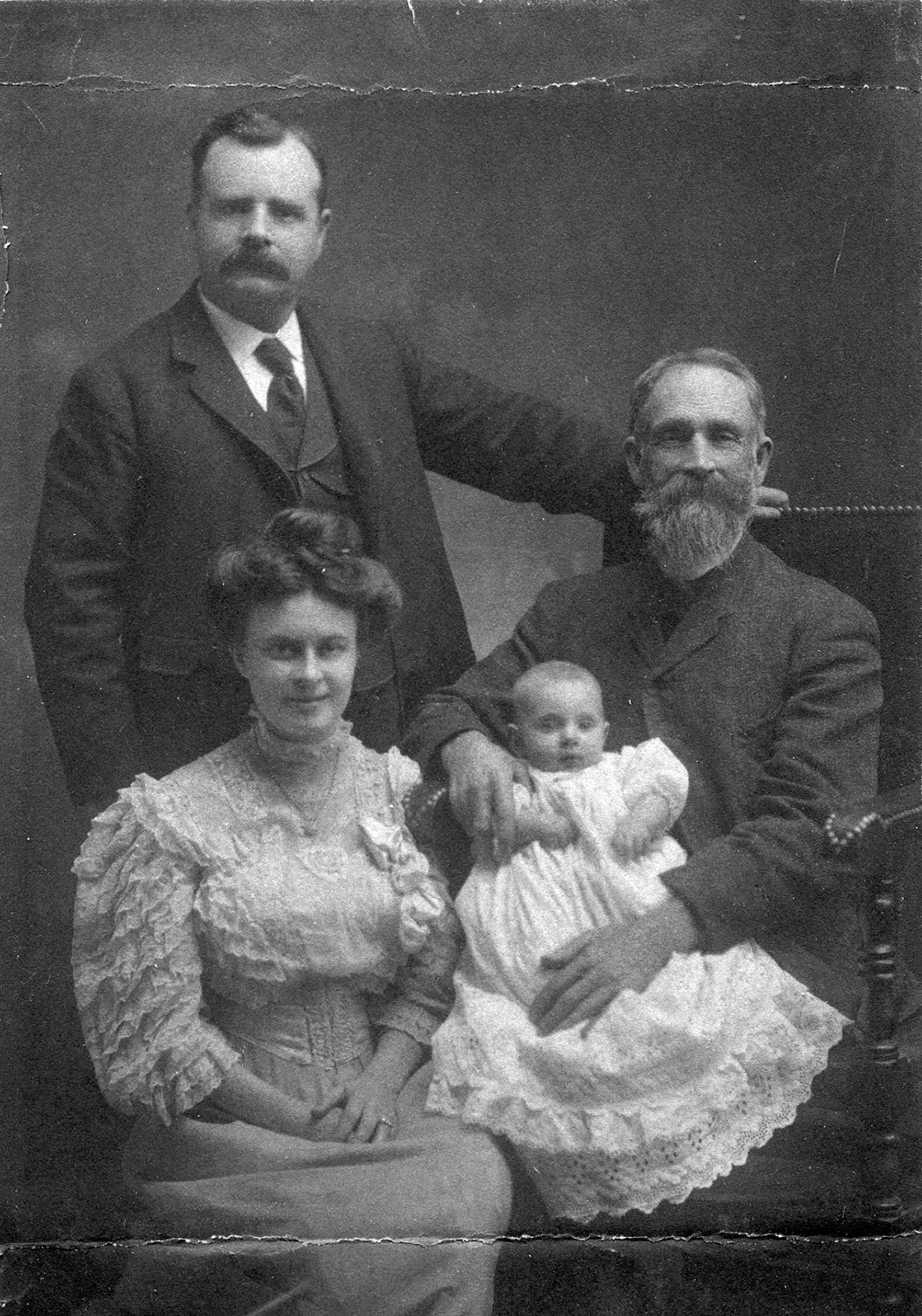
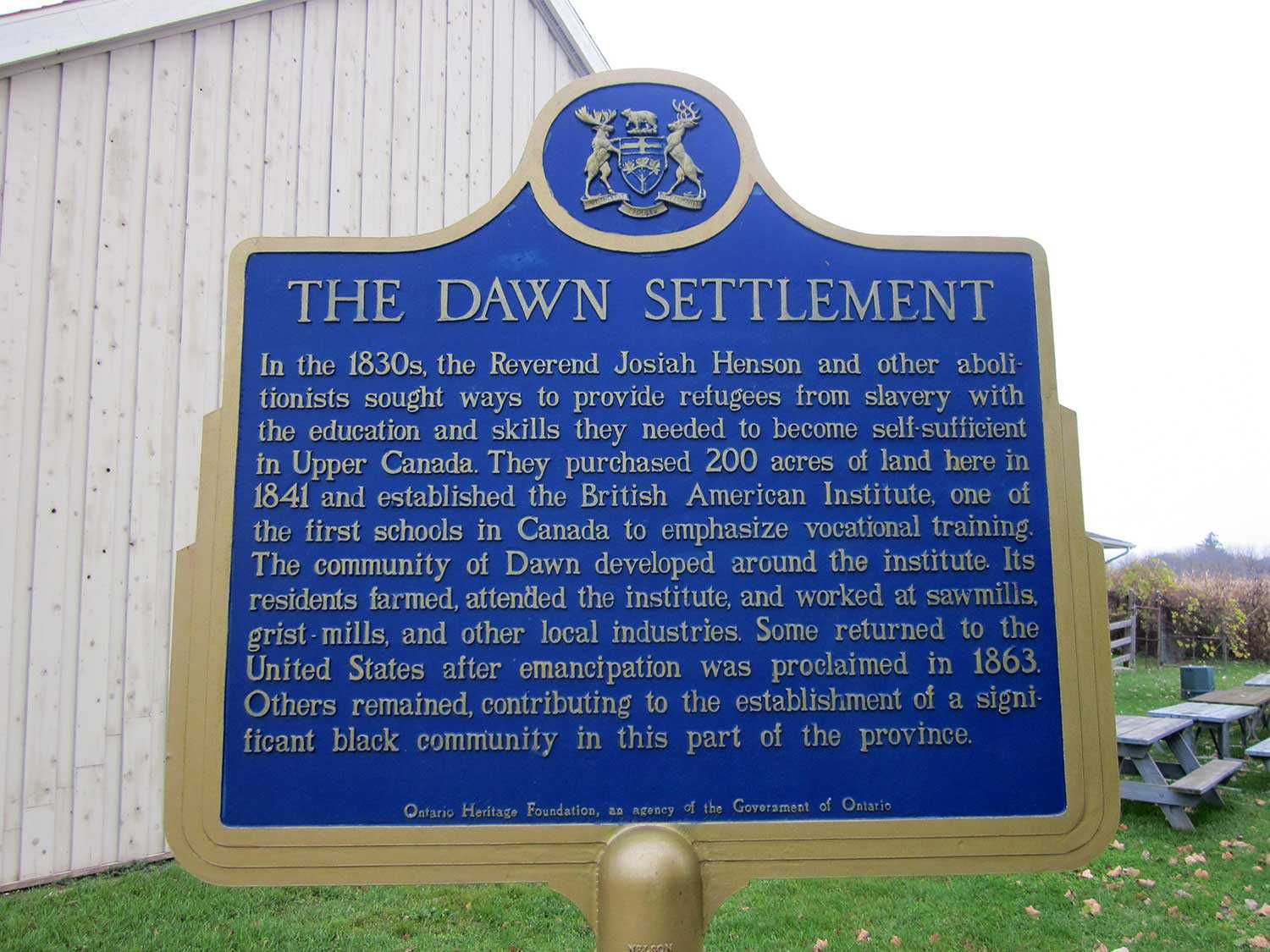
Religious freedom in the promised land
Eli Johnson toiled on plantations in Virginia, Mississippi and Kentucky before making his bid for freedom in the “promised land” – the term used by...![]()
- 10 Sep 2009
- Buildings and architecture
Community
Cultural landscapes - Author: Wendy Shearer,
Places of worship in Ontario’s rural cultural landscape
The cultural landscapes of rural southern Ontario contain a variety of heritage resources – land patterns and uses, built forms and natural features. Within these...![]()
- 10 Sep 2009
- Indigenous heritage
Buildings and architecture
Community - Author: Yves Frenette,
Churches of “New Ontario”
In the middle of the 19th century, northern Ontario remained much as it had been under the French regime – a region of Catholic missions...![]()
- 10 Sep 2009
- Indigenous heritage
Buildings and architecture
Francophone heritage
Community - Author: Wayne Kelly,
Ontario’s rich religious heritage
From the First People who for thousands of years conducted religious and cultural ceremonies at places they believed held spiritual significance, to subsequent arrivals who...![]()
- 10 Sep 2009
- Indigenous heritage
Buildings and architecture
Community
Cultural objects - Author: Kathryn McLeod,
Christ Church and the Queen Anne Silver
Located in Tyendinaga Mohawk Territory on the Bay of Quinte, Christ Church houses a silver communion service dating to 1712. This remarkable service represents an...![]()
- 10 Sep 2009
- Buildings and architecture
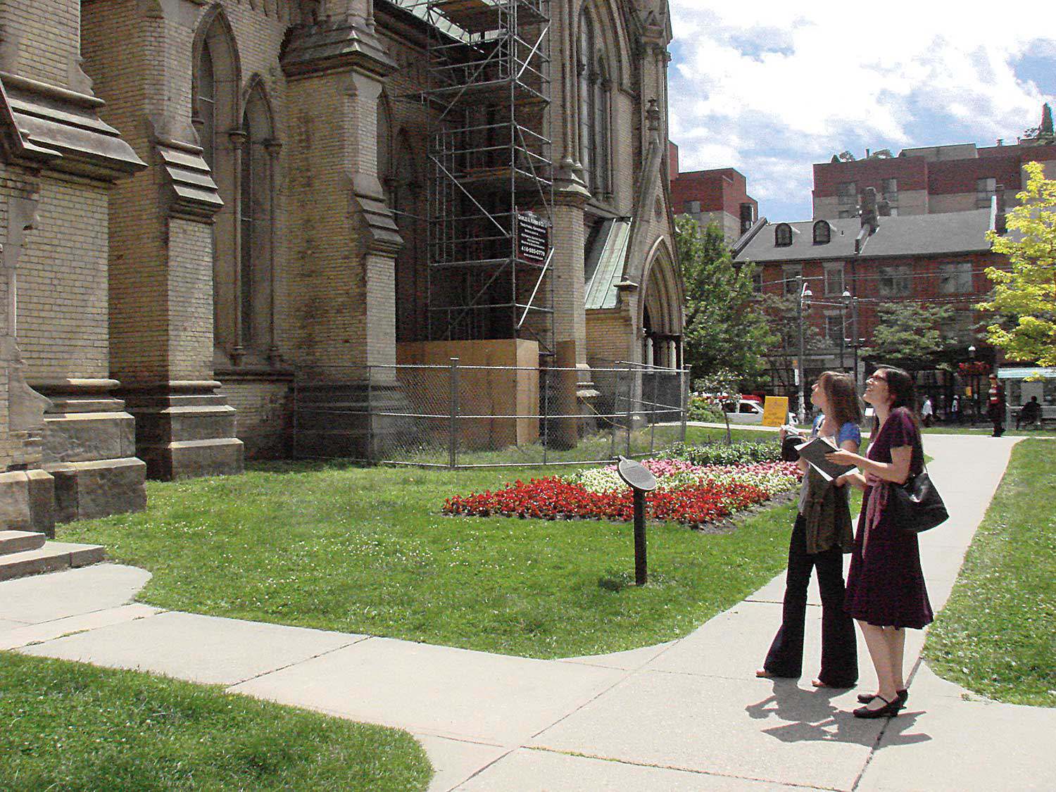
Community - Author: Richard Moorhouse,
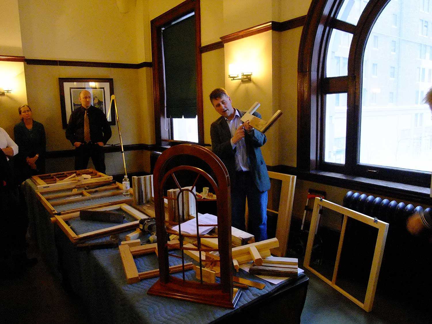
Launching the Places of Worship Inventory
Survey, documentation and research – these are the first steps in the conservation process. How can decisions be made about our heritage without first acquiring...![]()
- 28 May 2009
- Buildings and architecture
Community
Tools for conservation - Author: Sean Fraser,
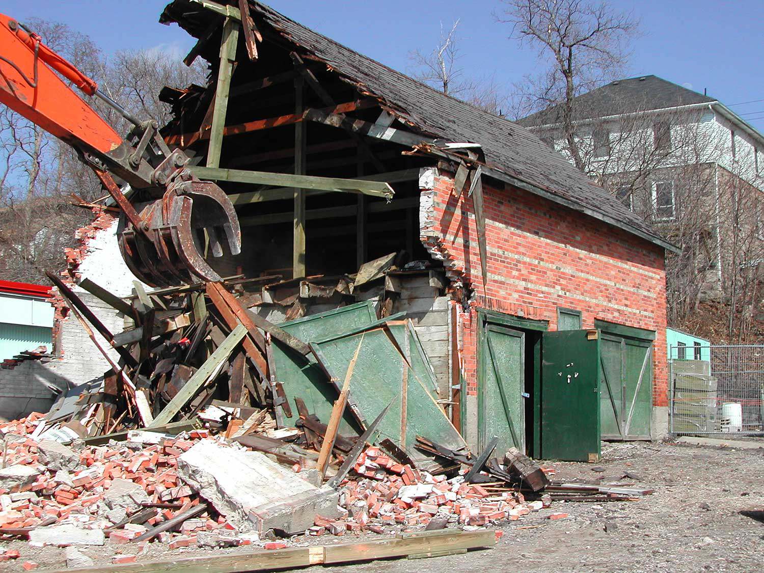
Subsidizing demolition
In nature, there is no such thing as waste. Nature operates in an endless web of interconnected cycles of use, transformation and reuse. The concept...![]()
- 28 May 2009
- Buildings and architecture
Natural heritage
Community - Author: Tamara Chipperfield and Kiki Aravopoulos,
Heritage in harmony: The integration of natural and cultural landscapes
Approximately 11,000 years of human culture are recorded in Ontario’s landscapes. Most existing natural landscapes in Ontario today have intrinsic cultural heritage meaning and significance...![]()
- 28 May 2009
- Buildings and architecture
Community - Author: Erin Semande,
The sustainability of place
Located on the Lake Huron shore at the mouth of the Maitland River, Goderich is known as “Canada’s Prettiest Town.” It is situated in what...![]()

- 28 May 2009
- Environment
Natural heritage - Author: Meagan McKeen,
Working for change
Protecting the environment and natural heritage has become an important part of my life over the past few years. While busy as a Grade 1...![]()
- 12 Feb 2009
- Buildings and architecture
Community - Author: Kathryn McLeod,
Heritage off the 401
Highway 401, stretching from Windsor to the Quebec border, is one of the busiest highways in North America. Anyone who has journeyed east of Toronto...![]()
- 12 Feb 2009
- Buildings and architecture
Community - Author: Romas Bubelis,
Building on the past
Eastern Ontario offers an array of impressive historic houses. Some of these houses – owned and operated by the Ontario Heritage Trust – are featured...![]()
- 12 Feb 2009
- Buildings and architecture
Community
Adaptive reuse - Author: Glenda Jones,
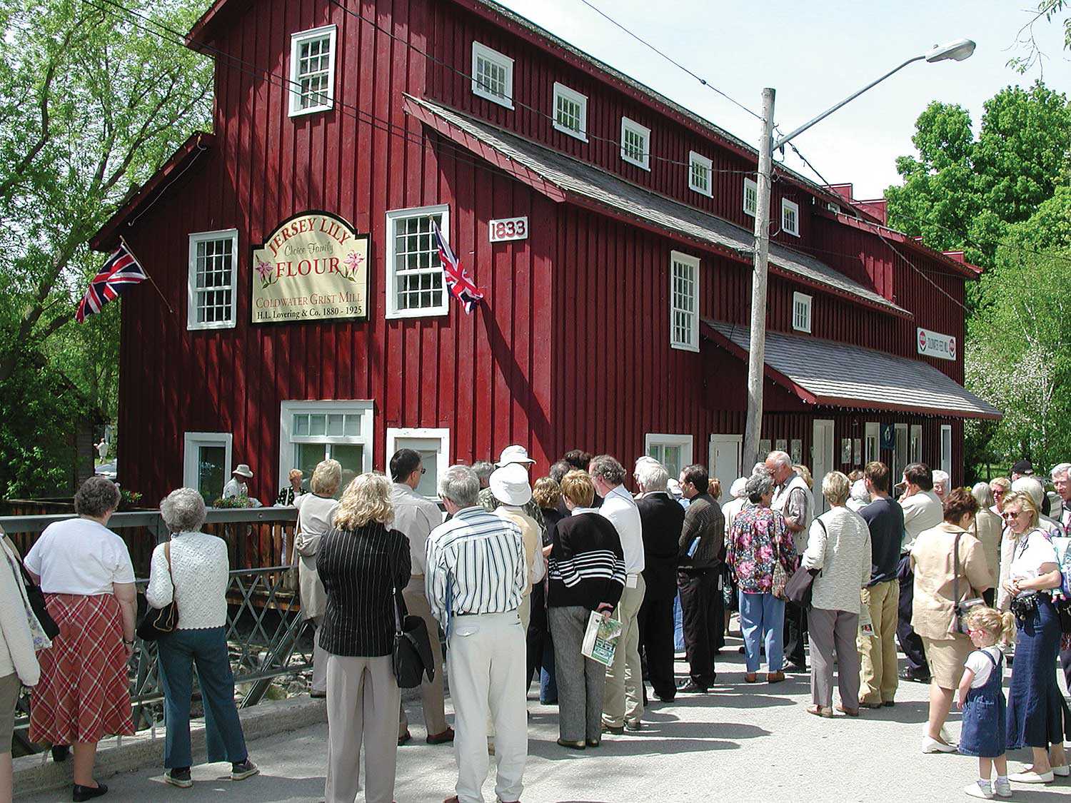
From mill to museum
The big oak door of the Mississippi Valley Textile Museum in Almonte in eastern Ontario swings silently open as it has done for over 10...![]()
- 12 Feb 2009
- Natural heritage
- Author: Tamara Chipperfield,
Protecting Ottawa’s Carp Hills
Just north of the Village of Carp lie the Carp Hills – one of the largest and wildest natural areas within the City of Ottawa...![]()
- 12 Feb 2009
- Buildings and architecture
Community - Author: Wayne Kelly and Kathryn McLeod,
Ontario's eastern treasures
Inhabited by Aboriginal Peoples for 7,000 years, present-day eastern Ontario is rich with heritage. The area gradually transformed as French and later United Empire Loyalists...![]()
- 12 Feb 2009
- Community
- Author: Liane Nowosielski,
Honouring Ontario’s premiers
The Ontario Heritage Trust launched the Premiers’ Gravesites Program at a memorable ceremony last November in Cornwall to commemorate the province’s first premier – The...![]()
- 11 Sep 2008
- Buildings and architecture
Community
Adaptive reuse - Author: Erik R. Hanson,
Second chances for Peterborough’s priceless heritage
One of the greatest challenges to creating a healthy downtown is getting people to live there. While Peterborough’s historic centre is full of beautiful heritage...![]()
- 11 Sep 2008
- Buildings and architecture
Community - Author: Marcus R. Létourneau,
Kingston’s heritage: Time and again
The City of Kingston sits at a strategic location, halfway between Montreal and Toronto, where Lake Ontario meets the western end of the St. Lawrence...![]()
- 12 Jun 2008
- Natural heritage
- Author: Gordon Pim,
Along the Arctic Watershed
The Arctic Watershed follows an erratic course of some 2,240 kilometres (1,400 miles) across northern Ontario. It marks the point where rivers and streams in...![]()
- 12 Jun 2008
- Buildings and architecture
Community - Author: Thomas Wicks,
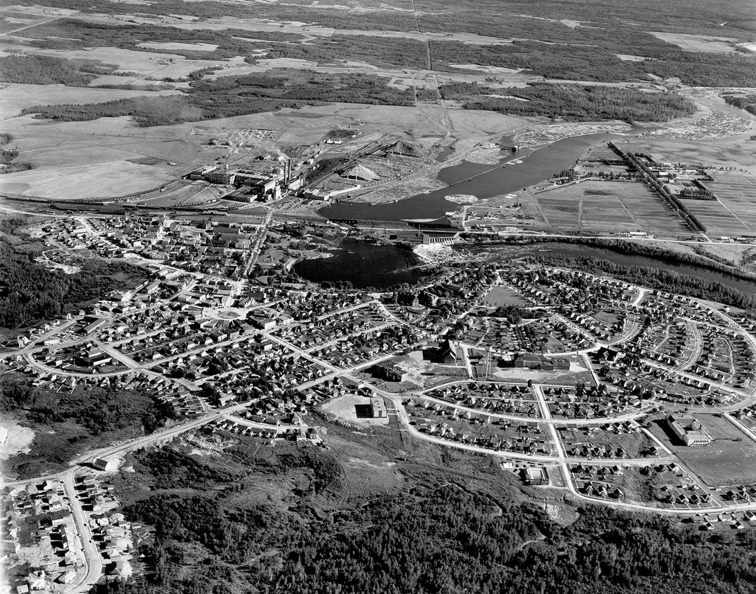
A renaissance of northern heritage
After railway development connected this once-isolated area to the rest of the province at the end of the 19th century, the abundant natural resources attracted...![]()
- 12 Jun 2008
- Community
- Author: Nicole Guertin and Andréanne Joly,
Northern Ontario: An authentic heritage
Heritage is often associated with the distant past and, for many, a dusty museum. Northern Ontario, however, is proposing a rejuvenation of its heritage by...![]()
- 12 Jun 2008
- Expanding the narrative
Community - Author: Beth Anne Mendes,
Routes through the wilderness: The development of a transportation network in Northern Ontario
Isolation, great distances, demanding terrain and difficult weather conditions challenged the fortitude and perseverance of the people who forged water routes, roads, railways and air...![]()
- 12 Jun 2008
- Buildings and architecture
Community - Author: Denis Héroux,
Adventurous workers wanted for remote locations – Housing provided
The exploration, settlement and development of northern Ontario were motivated by the exploitation of the region’s natural resources – primarily fur, timber, gold and silver...![]()
- 12 Jun 2008
- Francophone heritage
Community - Author: Karen Bachmann,
Our Francophone heritage
Fauquier. Moonbeam. Kapuskasing. Hearst. Val Gagné. Belle Vallée. Sudbury. Timmins. Sturgeon Falls. The history of northern Ontario cannot be told without looking at the contributions...![]()
- 12 Jun 2008
- Buildings and architecture
Community - Author: Romas Bubelis,
Northern icons
The towering McIntyre Mine Headframe in Timmins. The Clergue Block House and Powder Magazine in Sault Ste Marie. St. Francis of Assisi Anglican Church in...![]()
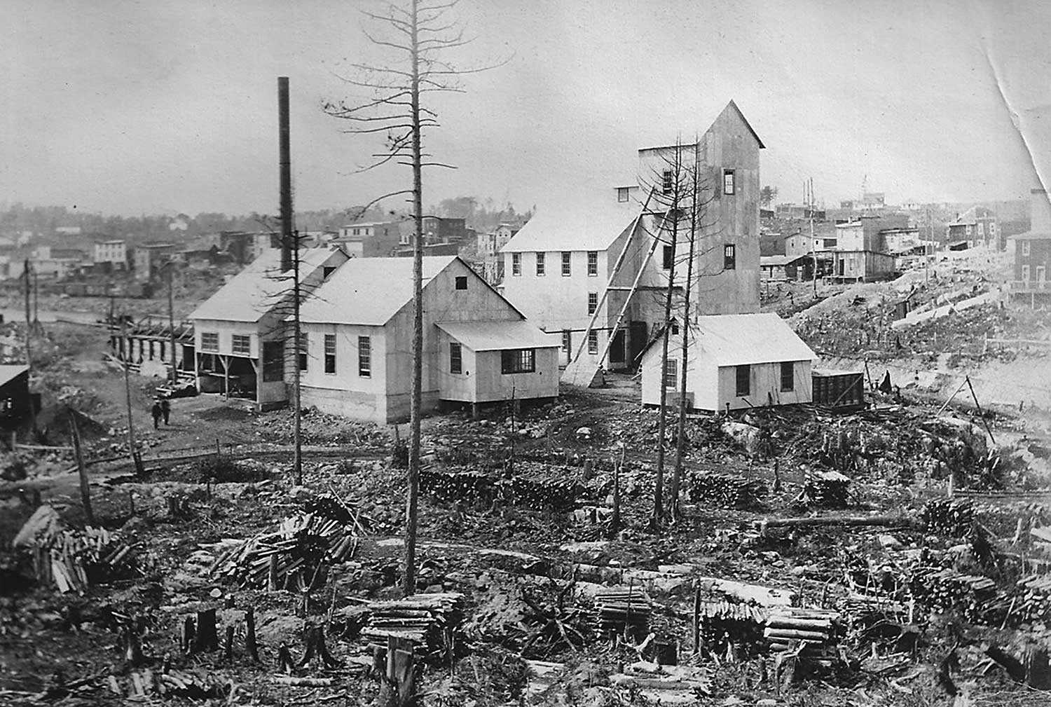
- 12 Jun 2008
- Buildings and architecture
Community
Cultural landscapes - Author: Sean Fraser,
The historical Cobalt Mining District – A community resource
At the turn of the 20th century, Cobalt was a small and isolated lumber camp. In August 1903, two lumbermen – James McKinley and Ernest...![]()
- 14 Feb 2008
- Community
Tools for conservation - Author: David Tremblay,
Community conservation: Ingredients for success
For the past seven years, a group called SOS-Églises has led the fight to preserve two century-old village churches in Essex County. Located in Pointe-aux-Roches...![]()
- 14 Feb 2008
- Community
Tools for conservation - Author: Ontario Heritage Trust,
Resources: Engaging citizens in community conservation
What's on the shelf Old Canadian Cemeteries: Places of Memory, by Jane Irwin with photographs by John de Visser (2007) Firefly Books. Canada abounds in...![]()

- 15 Nov 2007
- Environment
Natural heritage - Author: Tony Buszynski, with photographs by Karen Abel,
Sustaining species at risk
Ontario, with its broad geography, is blessed with incredible biologically diverse landscapes. Most of us take this amazing biodiversity for granted and do not fully...![]()
- 15 Nov 2007
- Environment
Natural heritage - Author: Tony Buszynski,
Exploring the Beaver River Wetland
In June 2007, the Lake Simcoe Region Conservation Authority (LSRCA) hosted a celebration to recognize the private and public efforts to protect two recently acquired...![]()
- 15 Nov 2007
- Buildings and architecture
Community - Author: Beth Anne Mendes,
Discovering the City Beautiful
On July 25, 2007, the Ontario Heritage Trust and the Town of Kapuskasing unveiled a provincial plaque to commemorate the town plan that helped shape...![]()
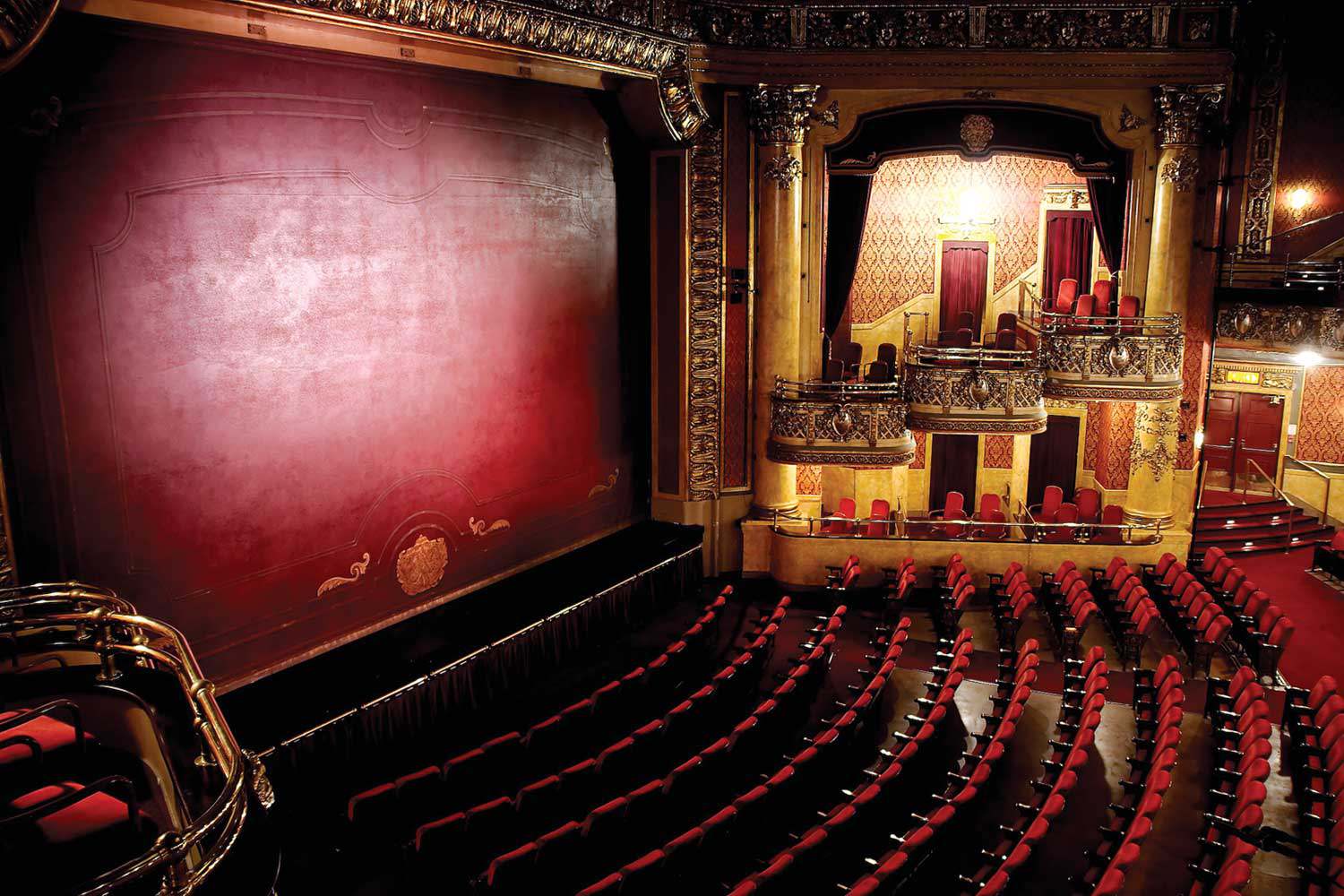
- 10 May 2007
- Buildings and architecture
Community
Tools for conservation - Author: Beth Hanna,
The R’s of conservation
An earlier generation spoke of the three R’s as “Reading, ‘riting and ‘rithmetic.” They were the fundamentals of education in the 19th century and considered...![]()
- 10 May 2007
- Archaeology
Natural heritage - Author: Dena Doroszenko and Sean Fraser,
Tools through time: Protecting the past for the future
Identifying and protecting places in our communities that have cultural heritage value is an important part of managing change. Heritage buildings, archaeological sites and cultural...![]()
- 10 May 2007
- Buildings and architecture
Community
Tools for conservation - Author: Sean Fraser,
Leading the way in municipal heritage planning
What’s happening in your community? With significant amendments to the Ontario Heritage Act in April 2005 and a strengthening of the Provincial Policy Statement (PPS)...![]()
- 10 May 2007
- Environment
Natural heritage - Author: Karen Abel,
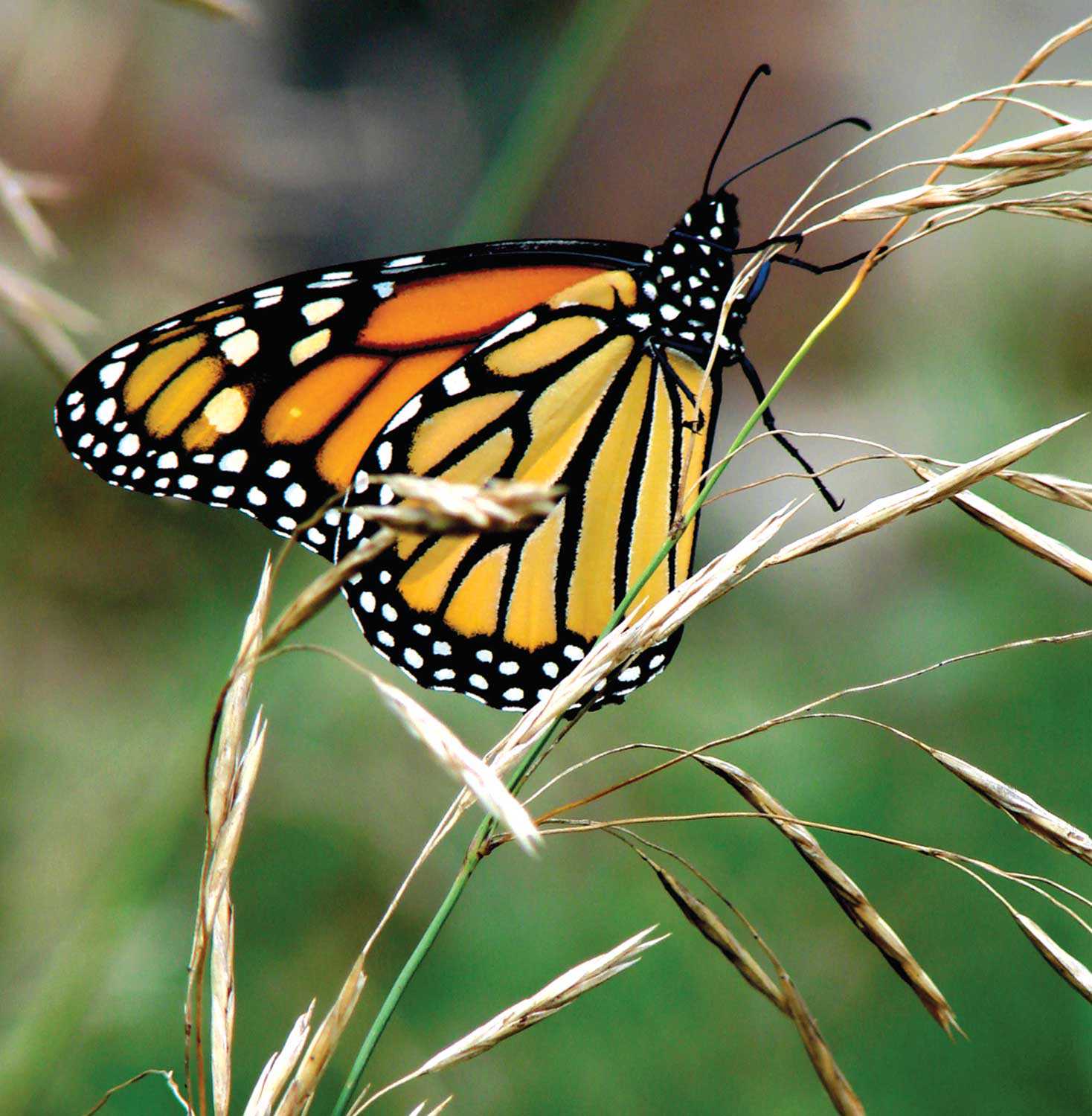
Species at risk: The monarch butterfly (danaus plexippus)
The beautiful Monarch butterfly is the most recognized butterfly in North America. What is not commonly known is that it is also a species at...![]()
- 15 Feb 2007
- Community
- Author: The Honourable James K. Bartleman,
In the beginning . . . the first provincial plaque
Fifty years ago – on a fine fall afternoon, September 26, 1956 – I witnessed the unveiling of Ontario’s first provincial plaque in my hometown...![]()
- 15 Feb 2007
- Buildings and architecture
Community - Author: Kiki Aravopoulos,
Exploring Country Heritage Park
In March 2006, the Ontario Heritage Trust acquired a cultural conservation easement on Country Heritage Park. Located in Milton, this designed heritage attraction was created...![]()
- 15 Feb 2007
- Environment
Natural heritage - Author: Paula Terpstra,
Along the Oak Ridges Moraine Trail
Hiking along the Oak Ridges Moraine Trail offers a memorable experience. Situated close to the Greater Toronto Area, the Trail provides an opportunity to encounter...![]()
- 15 Feb 2007
- Black heritage
Buildings and architecture
Natural heritage - Author: Gordon Pim,
Heritage by numbers
Ontario’s heritage is an immense and complex jigsaw puzzle. Every individual element of heritage creates a whole . . . a sort of heritage by...![]()
- 07 Sep 2006
- Buildings and architecture
Community - Author: Louise Burchell,
Saving the Spencerville Mill – Preserving community heritage
The Spencerville Mill, a fine cut-stone flour and grist mill, is located on the bank of the South Nation River in the small rural village...![]()
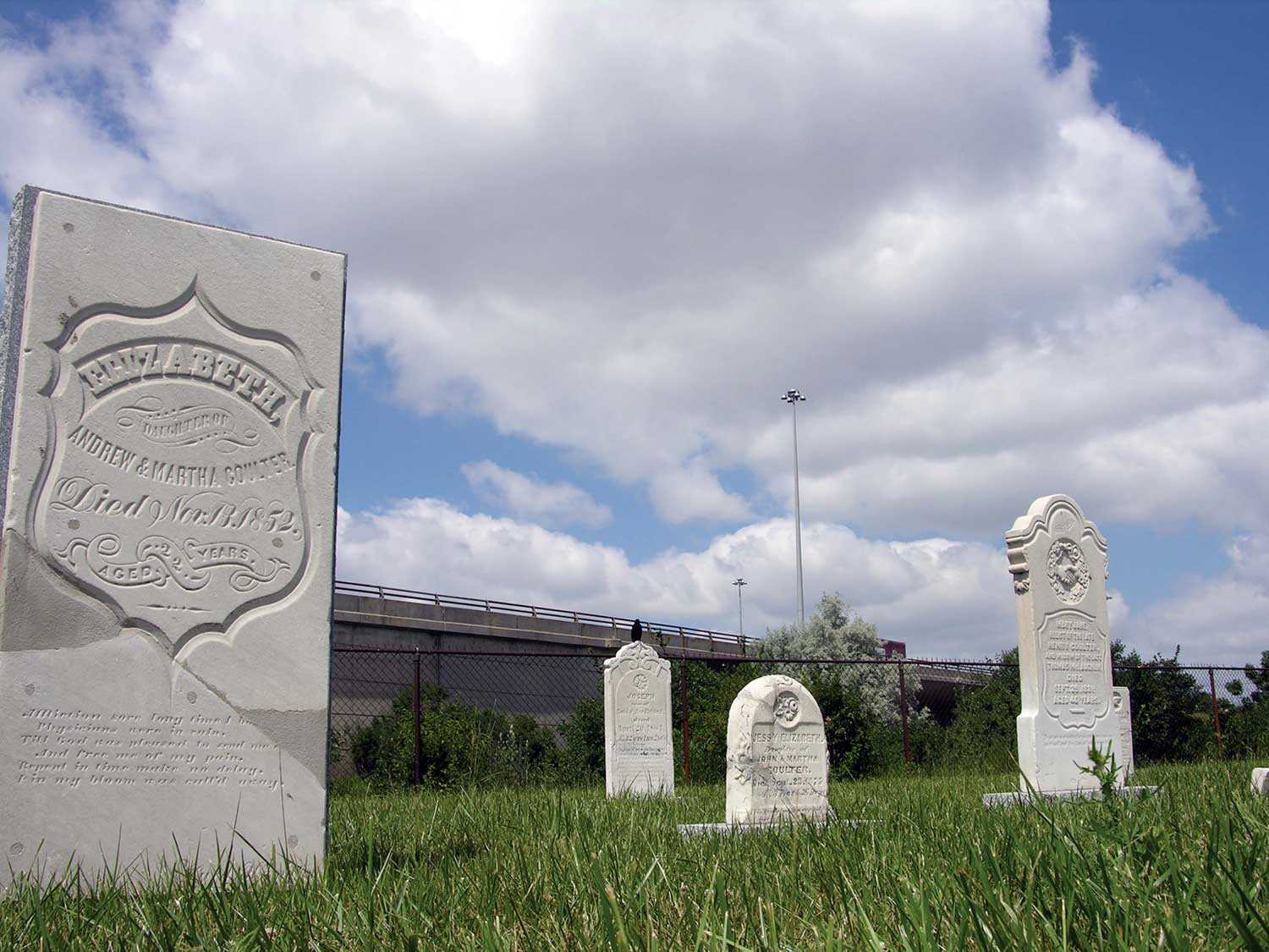
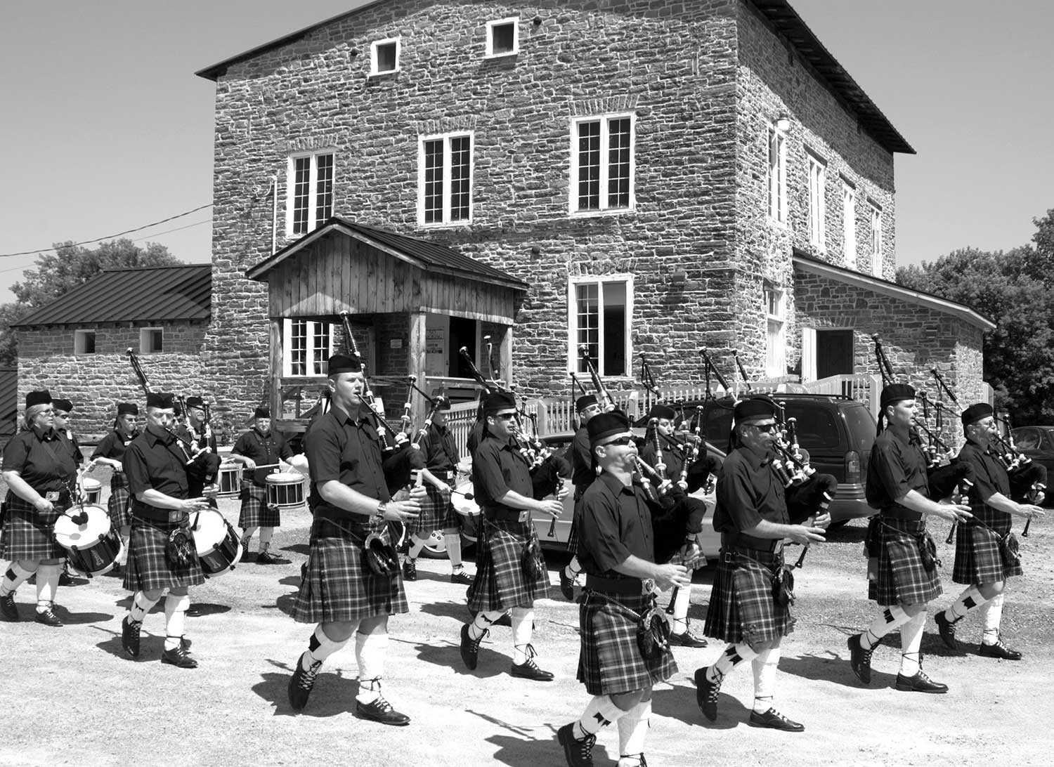
- 07 Sep 2006
- Community
Cultural landscapes - Author: Romas Bubelis,
Rush and remembrance
On a windswept summer day in 2005, a small congregation gathered beside a cloverleaf off-ramp at the western fringe of Toronto. In Richview-Willow Grove Cemetery...![]()
- 07 Sep 2006
- Women's heritage
Arts and creativity
Natural heritage - Author: Gordon Pim,
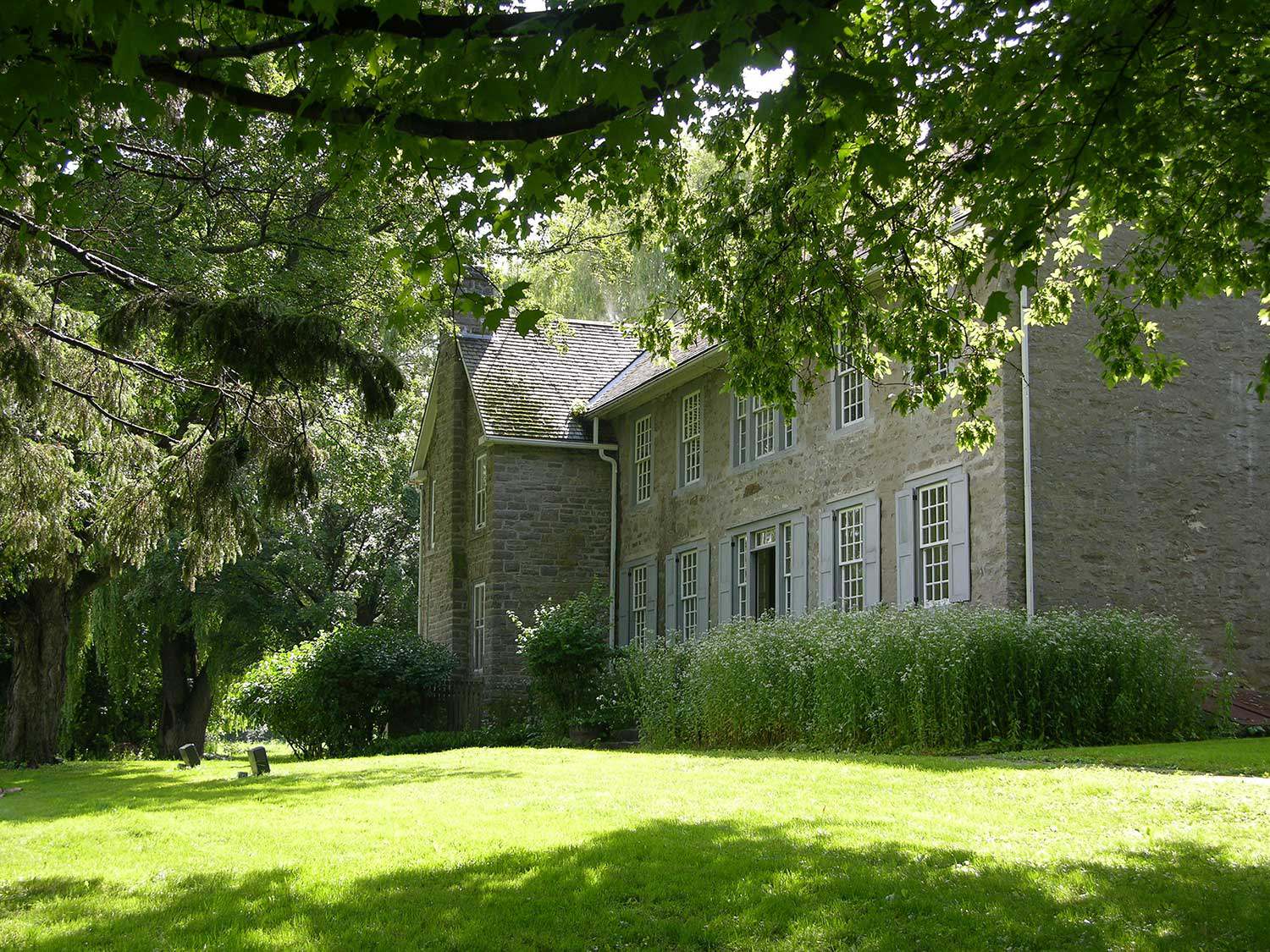
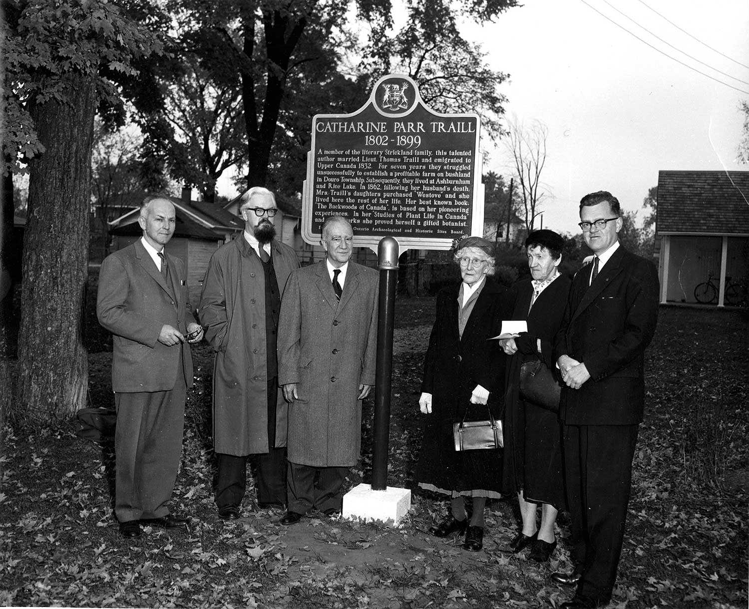
Literary giants
Catharine Parr Traill is one of Canada’s literary luminaries. Her life story spans most of the 19th century, crossing oceans, battling cholera and journeying through...![]()
- 07 Sep 2006
- Buildings and architecture
Community
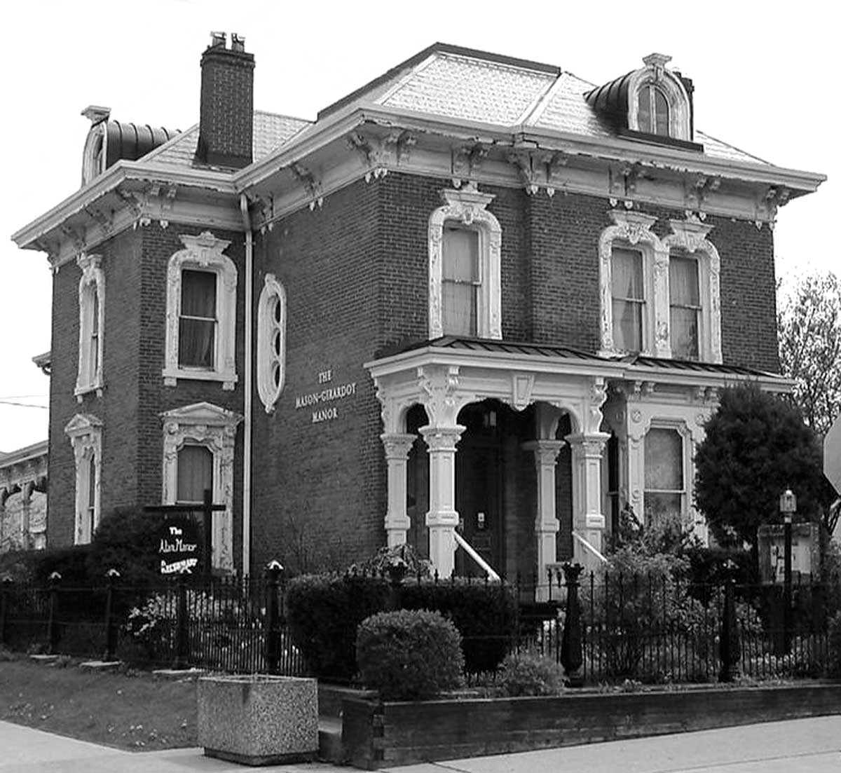
Cultural objects - Author: Erin Semande,
The biography of a house: If these walls could speak
Researching family history is a popular pastime for many who want to uncover their family’s unique past and discover how they contributed to Ontario’s growth...![]()
- 25 May 2006
- Natural heritage
- Author: Catrina Colme,
Giant meteorite slams Algonquin Park
Well, that would have been the headline 450 million years ago. Today, it is a fascinating mark on our natural landscape. This is not a...![]()

- 25 May 2006
- Environment
Natural heritage - Author: Tony Buszynski,
It’s not easy staying green: Working for a green and healthy Ontario
Natural heritage conservation can be traced back to the early times of the First Nations, whose close relationship with nature was reflected in religious beliefs...![]()
- 25 May 2006
- Natural heritage
- Author: Fran Moscall,
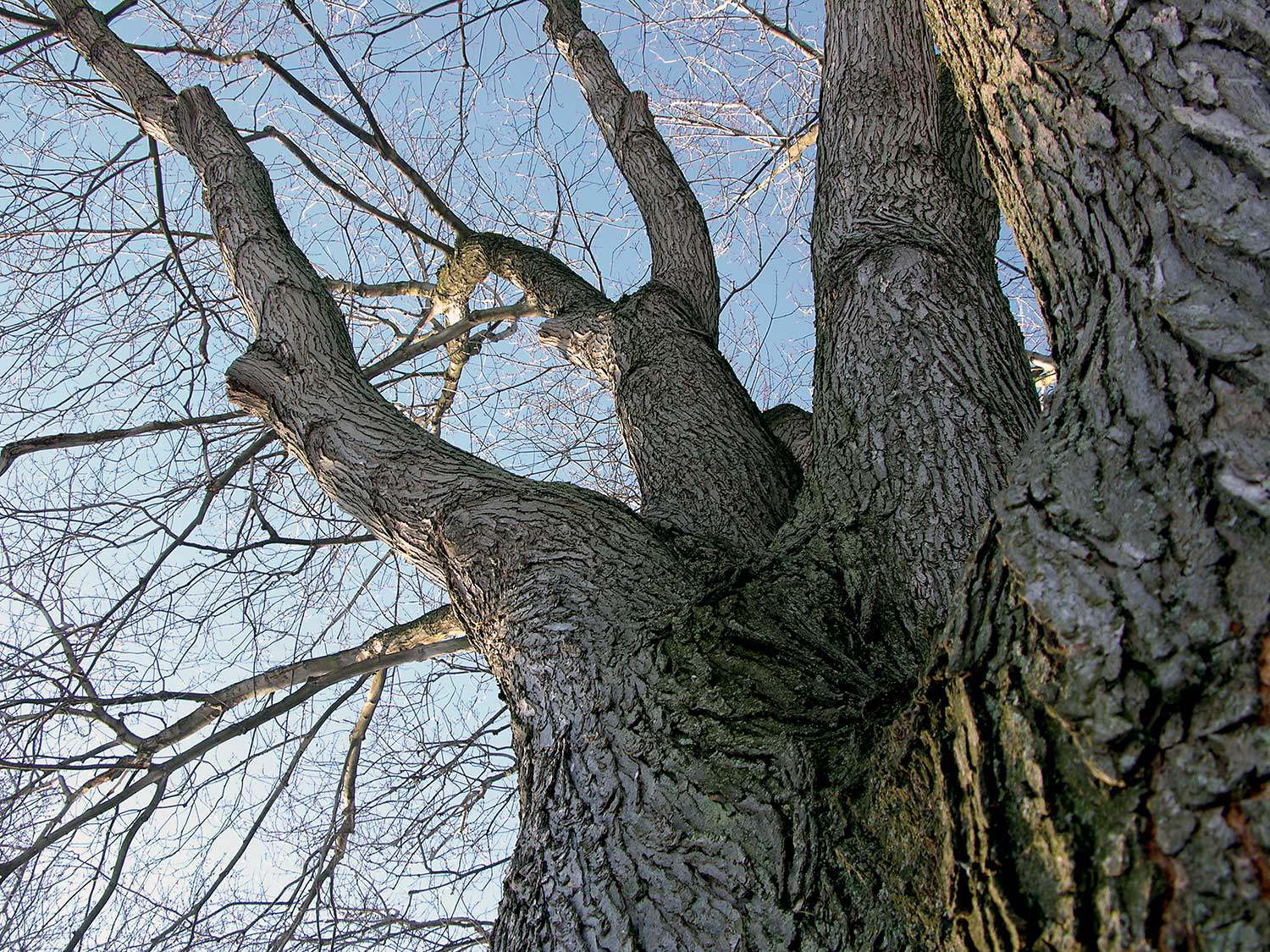
Remarkable trees – Heritage tree preservation in Ontario
What is heavier than any land animal, taller than most buildings, older than many ancient monuments? One of the world’s oldest living organisms are –...![]()
- 25 May 2006
- Natural heritage
- Author: Paula Terpstra,
Making tracks
Ontario’s 64,000-km network of trails traverses a varied landscape of wilderness, rural and urban areas. These trails range from waterways and portage routes to footpaths...![]()
- 25 May 2006
- Natural heritage
- Author: Karen Abel,
Gardening for biodiversity
Many gardeners today are finding enjoyable and educational ways to participate in the promotion and preservation of Ontario’s natural heritage through the creation of habitat-inspired...![]()
- 25 May 2006
- Natural heritage
Tools for conservation - Author: Jeremy Collins,
The anatomy of a heritage conservation easement: Building the framework for a conservation partnership
Private landowners are often faced with a difficult dilemma – how to preserve the heritage of their land for future generations in a world where...![]()
- 25 May 2006
- Natural heritage
- Author: Barbara Heidenreich,
Our provincial tree: The eastern white pine
Builders of British sailing ships during the 1800s sought the tall, straight white pine for the masts. The best trees in British North America were...![]()
- 25 May 2006
- Natural heritage
- Author: Barbara Heidenreich,
Giving back to nature
Southwestern Ontario sustains the richest array of flora and fauna in the country. Known as Canada’s deep south, this area includes sassafras, flowering dogwood, tulip...![]()
- 25 May 2006
- Natural heritage
- Author: Tony Buszynski,
Working together to save our natural heritage
With ongoing development pressures for housing, roads and commercial and industrial activities in Ontario, natural heritage protection has become more critical than ever before in...![]()
- 16 Feb 2006
- Buildings and architecture
Community
Tools for conservation - Author: Gordon Pim,
Winning the battle
There are countless examples across the province of successful restorations of Ontario’s treasured heritage sites. Although the challenges are great – funding being the primary...![]()
- 16 Feb 2006
- Buildings and architecture
Community
Adaptive reuse - Author: Sean Fraser,
Our cultural heritage places: how heritage buildings adapt
Although heritage remains a year-round activity for many of us, Heritage Day is celebrated annually on the third Monday in February. This year’s theme speaks...![]()
- 16 Feb 2006
- Buildings and architecture
Community - Author: Tim Mallon,
Small-town museums key to small-town success
For 18 years, my wife and I raised our two sons in the Town of Richmond Hill just north of Toronto. When we moved to...![]()
- 16 Feb 2006
- Environment
Natural heritage - Author: Ontario Heritage Trust,
Protecting natural spaces in Southern Ontario
On August 3, 2005 the provincial government announced the creation of the Natural Spaces Program, which included a $6-million allocation to the Ontario Heritage Trust...![]()
- 08 Sep 2005
- Buildings and architecture
Community - Author: David Cuming,
Moving forward with heritage conservation
Thirty years ago, when the Ontario Heritage Act was new, I was a young planner with about a year’s experience working in London, England and...![]()
- 08 Sep 2005
- Buildings and architecture
Natural heritage
Community
Cultural landscapes - Author: Richard Moorhouse and Beth Hanna,
The new Ontario Heritage Act: The evolution of heritage conservation
An important shift has occurred in Ontario’s legislative framework for heritage conservation. On April 28, 2005, the Ontario Heritage Amendment Act (Bill 60) received royal...![]()
- 19 May 2005
- Natural heritage
- Author: Ontario Heritage Trust,
Visiting the Cheltenham Badlands
Nestled on the Niagara Escarpment amid the rolling countryside of the Caledon Hills lies a unique landscape locally known as the Cheltenham Badlands. The site...![]()
- 12 Feb 2005
- Natural heritage
- Author: Ontario Heritage Trust,
Gifts of nature
The Egbert Ross Boothby property Imagine a plot of land on the Lake of Bays, seemingly untouched by human habitation. It has almost a mile...![]()
We're Social
Keep up with our latest news and information
- Accessibility
- Privacy statement
- Terms of use
- © King's Printer for Ontario, 2023
- Photos © Ontario Heritage Trust, unless otherwise indicated.
- Accessibility
- Privacy statement
- Terms of use
- © King's Printer for Ontario, 2023
- Photos © Ontario Heritage Trust, unless otherwise indicated.