


Browse by category
- Adaptive reuse
- Archaeology
- Arts and creativity
- Black heritage
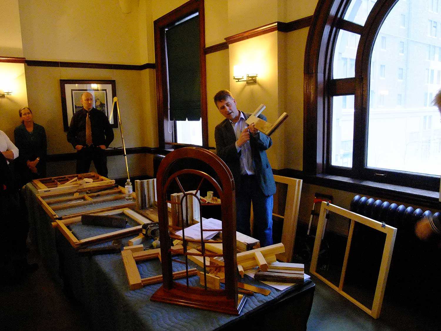
- Buildings and architecture
- Communication
- Community
- Cultural landscapes
- Cultural objects
- Design
- Economics of heritage
- Environment
- Expanding the narrative
- Food
- Francophone heritage
- Indigenous heritage
- Intangible heritage
- Medical heritage
- Military heritage
- MyOntario
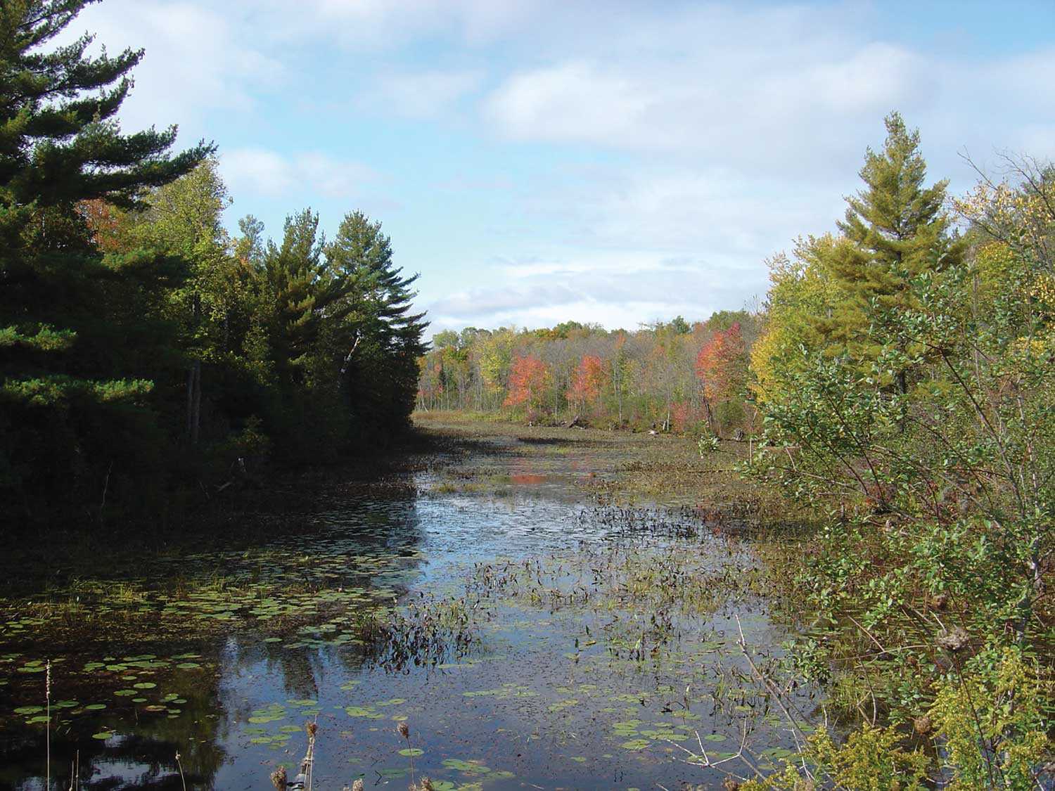
- Natural heritage
- Sport heritage
- Tools for conservation
- Women's heritage
- Home
- Adaptive reuse
- Archaeology
- Arts and creativity
- Black heritage
- Buildings and architecture
- Communication
- Community
- Cultural landscapes
- Cultural objects
- Design
- Economics of heritage
- Environment
- Expanding the narrative

Expanding the narrative
 This is part of a broader conversation about whose history is being told, about gender, people of colour and the economically disenfranchised, and others whose stories have been overlooked or intentionally omitted from the authorized discussion.
- Food
- Francophone heritage
- Indigenous heritage
- Intangible heritage
Intangible heritage
Intangible cultural heritage includes language, traditions, music, food, special skills, etc.
- Medical heritage
- Military heritage
- MyOntario
- Natural heritage
- Sport heritage
- Tools for conservation
- Women's heritage
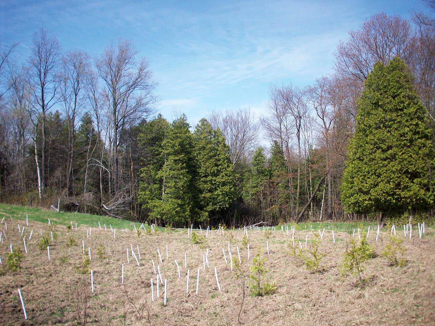
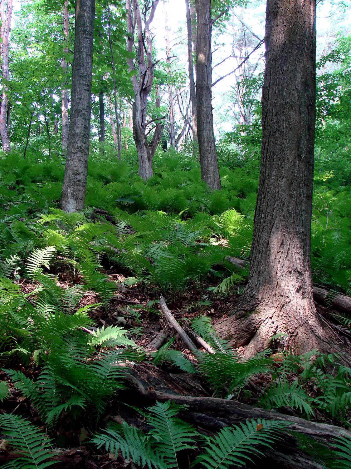
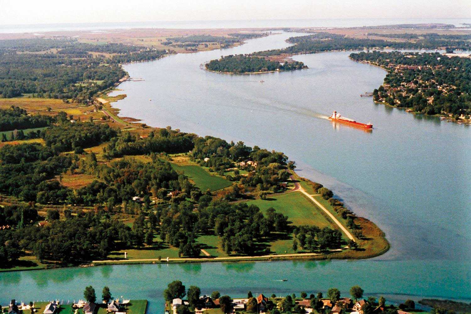
Along the Arctic Watershed
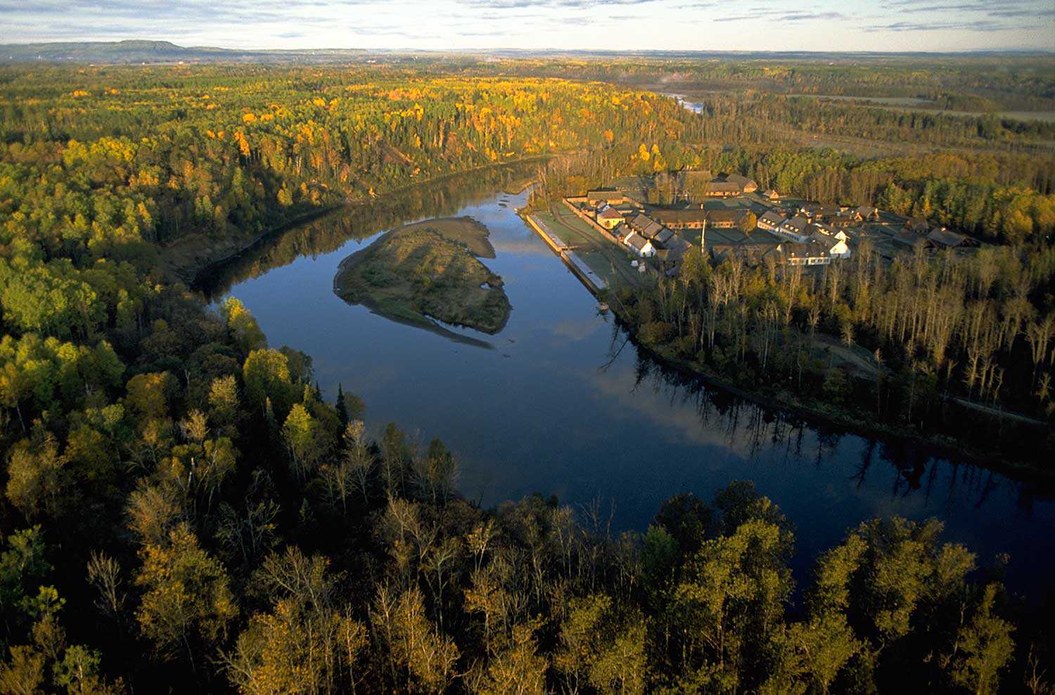
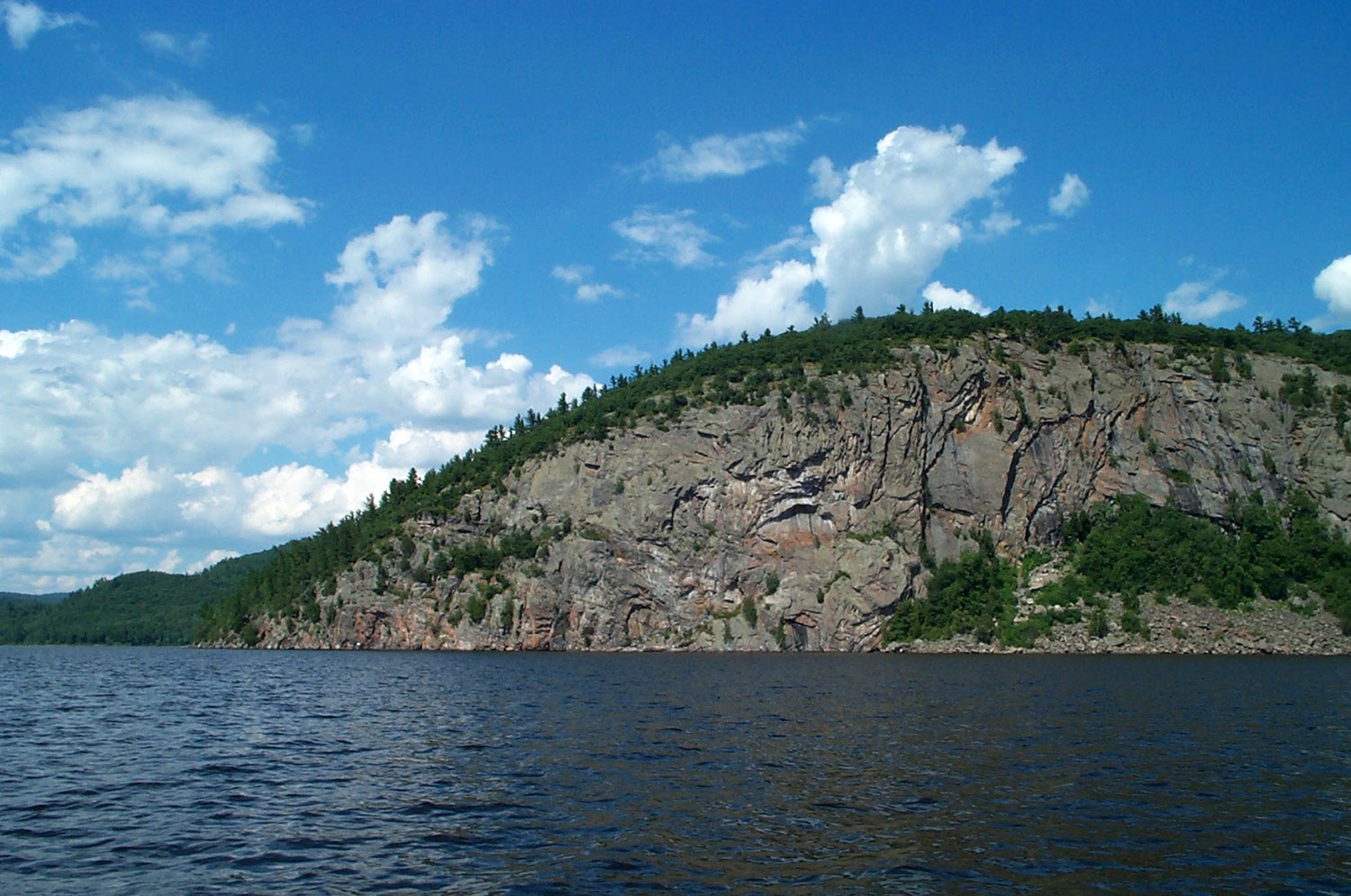
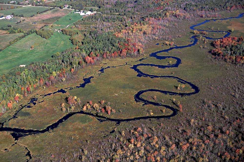
The Arctic Watershed follows an erratic course of some 2,240 kilometres (1,400 miles) across northern Ontario. It marks the point where rivers and streams in northern Ontario drain into Hudson’s Bay, and the rivers, lakes and streams to the south drain into the Great Lakes. This unique natural phenomenon has also been a source of contention for centuries because it determined territorial boundaries.
As early as 1670, the area was under dispute. In that year, England’s King Charles II granted the lands to the control of the Hudson’s Bay Company (HBC); the region became known as Rupert’s Land in honour of the King’s cousin, Prince Rupert, the HBC’s first governor. The French soon disputed the Company’s claim to this vast territory and nearly drove the English out of the Bay in 1696. When the 1713 Treaty of Utrecht restored sovereignty of the region to Britain, it did not establish any definite limits between the territory of France and that of the Hudson’s Bay Company.
Fifty years later, with the signing of the Treaty of Paris, France abandoned mainland North America for good. A royal proclamation set forth the boundaries of the lands acquired from France that year. The continued existence of Rupert’s Land was confirmed, and lands were set aside for use by their aboriginal inhabitants.
In September 1850, the Crown entered into the Robinson Superior Treaty with the Ojibwa of Lake Superior for much of the north shore of Lake Huron and Lake Superior, identifying the Arctic Watershed as the southern boundary of the Hudson’s Bay Company lands.
In 1857, a British parliamentary committee was formed to consider the advisability of renewing the Company’s trade monopoly in the vast western regions and Rupert’s Land. It was critical to establish this fact, given the emerging importance of communication, defence and future settlement in the West.
The framers of the Rupert’s Land Act of 1868 – which facilitated the admission of Rupert’s Land into the new Dominion of Canada – again avoided the issue of precise boundaries. The land was transferred to the Government of Canada in 1870, but the omission of any formal definition left opened the stage for the Ontario-Manitoba boundary dispute of 1883-84.
Eventually, after much back and forth, the question of the Ontario-Manitoba border was settled. In 1883, the case was referred to the Judicial Committee of the Privy Council in Britain. Using the Arctic Watershed as its guide – its final role on the stage of Canada’s political geography – the Committee established the Ontario-Manitoba border as it remains to this day.
In August 1969, two provincial plaques were unveiled to commemorate the Arctic watershed – one beside Highway 11 near Kenogami Lake and the other near Raith on Highway 17 in the District of Thunder Bay where the watershed again crosses the roadway. Explore the Trust’s plaque database here.
RelatedStories
- 17 Feb 2017
- Natural heritage
- Author: Muhammad Qureshi,
Our natural fingerprint
The magic began on a cold autumn afternoon after a hockey game with friends. I was walking home through a trail and the leaves had...![]()
- 17 Feb 2017
- Natural heritage
MyOntario - Author: Steve Paikin,
Heaven on earth
A month before Ontario turns 150 years old, I’ll celebrate my 57th birthday. I’ve lived all but one of those years in the province of...![]()
- 17 Feb 2017
- Natural heritage
MyOntario - Author: Yannick Bisson,
Reconnecting with nature
My first visit to Ontario, from Québec, was at about age 8. I have a distinct memory of arriving by car down the Don Valley...![]()
- 17 Feb 2017
- Natural heritage
MyOntario - Author: Joseph Desloges,
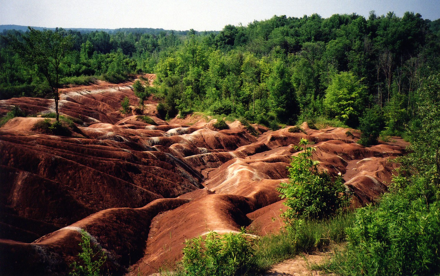
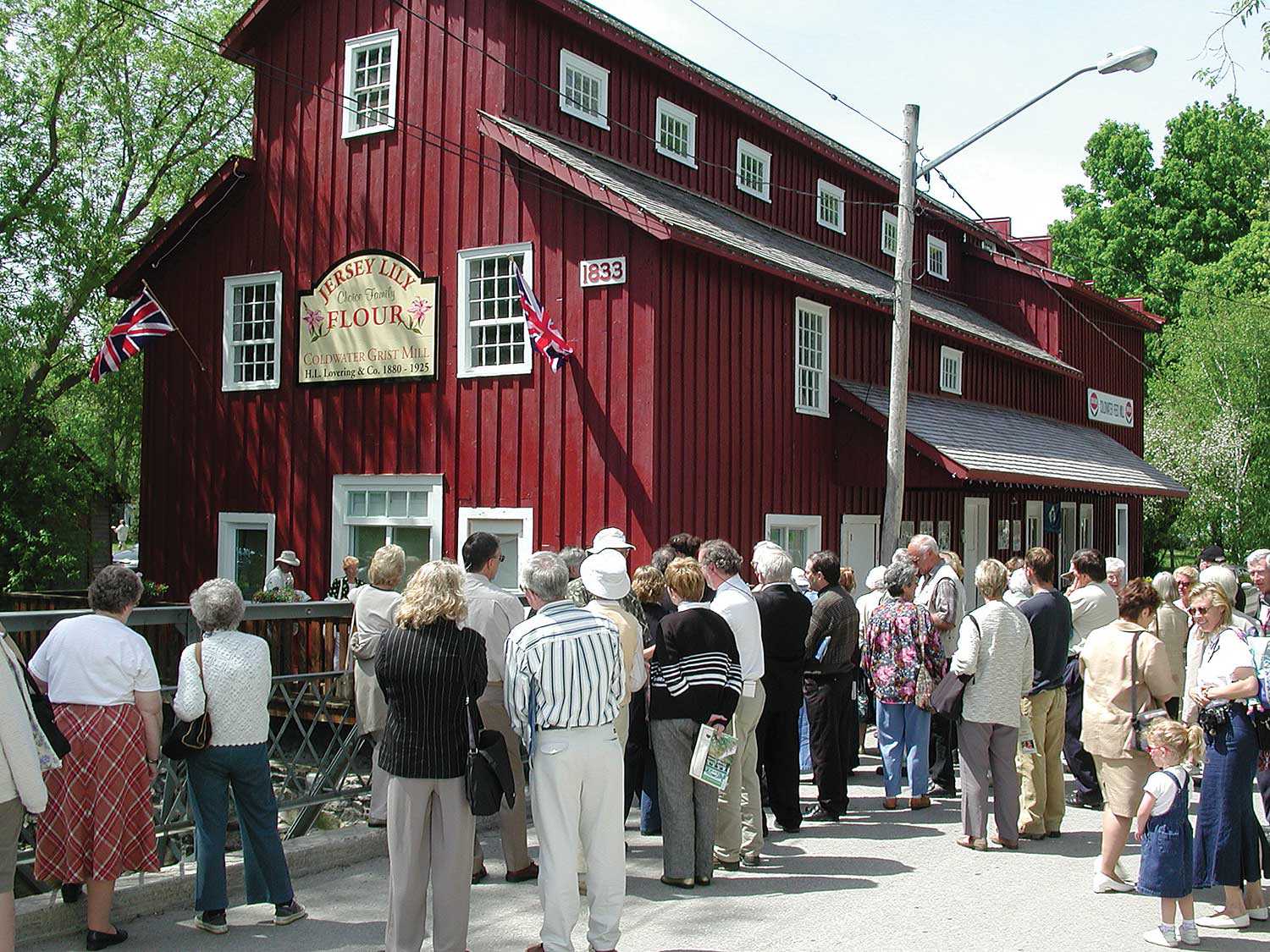
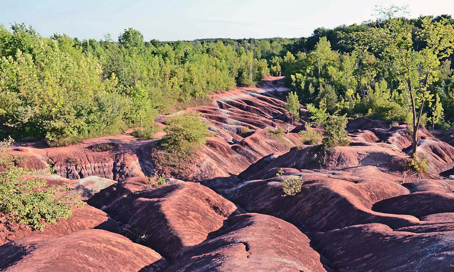
Celebrating the Chinguacousy Badlands
The Chinguacousy (“land of the young pines”) Badlands have been visited by hundreds of thousands of Ontarians. This rapidly eroding clay-shale bedrock at the foot...![]()
- 17 Feb 2017
- Natural heritage
MyOntario - Author: Michael Runtz,
Drawn back to Algonquin
Being a lifelong naturalist whose goal has been to explore Ontario’s natural history, I’ve come to appreciate just how rich this province’s biodiversity is. The...![]()
- 05 Dec 2014
- Indigenous heritage
Natural heritage - Author: Erin Semande,
Along the Ottawa River
The original Trans-Canada Highway The Ottawa River is one of Canada’s most important transportation routes, playing an integral role in many of the key stories...![]()
- 31 May 2011
- Natural heritage
- Author: Patricia Lowe,
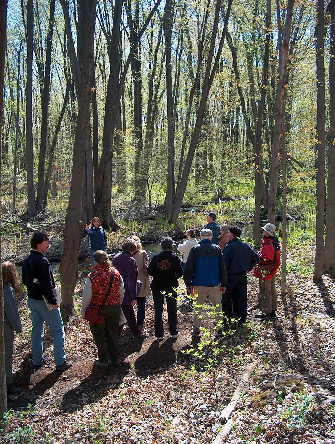
The Enniskillen Valley Land Acquisition Project: Making stewardship count
Through the Enniskillen Valley Land Acquisition Project, The Ontario Heritage Trust and the Central Lake Ontario Conservation Authority (CLOCA) have successfully partnered to acquire natural...![]()
- 31 May 2011
- Buildings and architecture
Natural heritage
Community
Tools for conservation - Author: Sean Fraser, Erin Semande and Mike Sawchuck,
Investing in preservation
It is an unfortunate reality that the preservation of our heritage remains the exception rather than the norm. What is a common-sense approach to living...![]()
- 07 Oct 2010
- Natural heritage
- Author: Andrew Sokolowski and Susie Cameron,
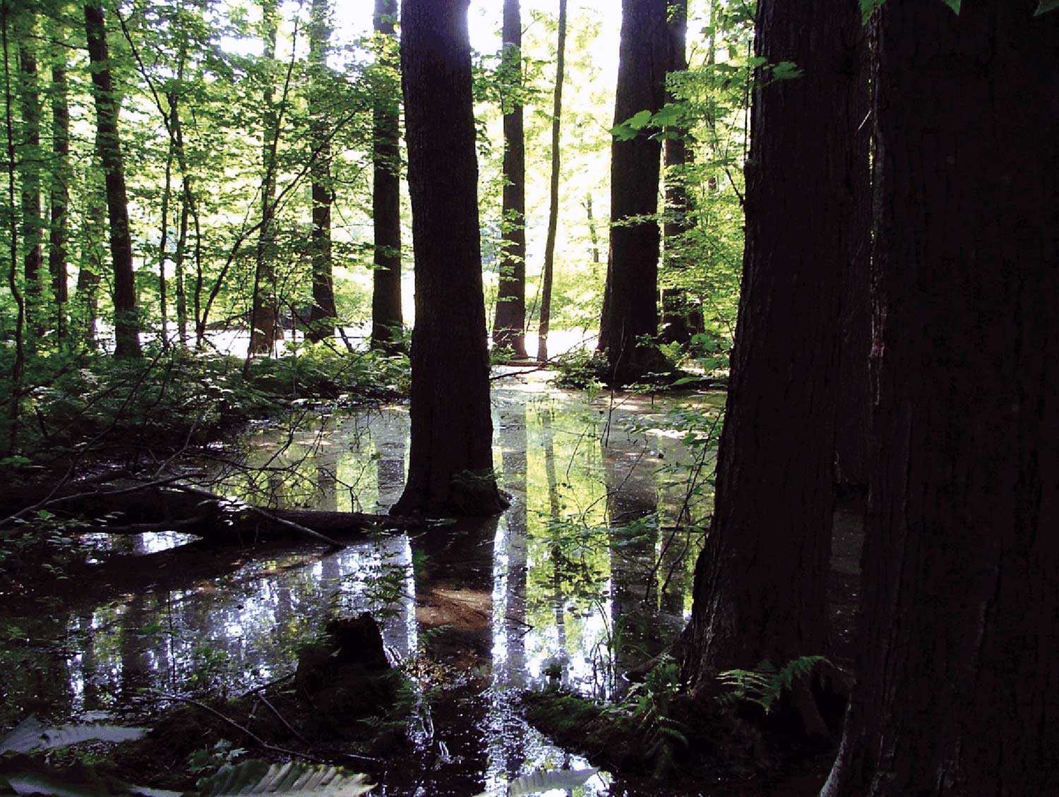
Reclaiming Fleetwood Creek
It’s hard to put a price on experience. Students enrolled in Sir Sandford Fleming College’s Ecosystem Management Technology (EMT) program understand this. During the program’s...![]()
- 07 Oct 2010
- Natural heritage
- Author: Lesley Smith,
A plantation management strategy for Fleetwood Creek Natural Area
Fleetwood Creek Natural Area, a 360-hectare (890-acre) property on the Oak Ridges Moraine, is valued for its unique post-glacial geographic features, diverse resident breeding bird...![]()
- 07 Oct 2010
- Natural heritage
- Author: Jeremy Collins and Barbara Heidenreich,
Saving biodiversity, one property at a time
What do wetlands and forest nesting sites for northern goshawks in eastern Ontario have in common with south-central Ontario cold-water streams harbouring brook trout and...![]()
- 07 Oct 2010
- Environment
Natural heritage - Author: John Stille,
New life for an old property
Heritage restoration is not limited to old buildings. Natural heritage properties, too, can be restored or adapted to new uses for future generations to enjoy...![]()
- 07 Oct 2010
- Environment
Natural heritage - Author: Don Pearson, Barbara Heidenreich and Sean Fraser,
Biodiversity in Ontario: Taking up the challenge
Many are familiar with high-profile threatened species such as polar bears, whose habitat is in flux and whose numbers are dropping, or bald eagles, once...![]()
- 07 Oct 2010
- Environment
Natural heritage - Author: Rebecca Margel,
Working with stewards and partners
The Ontario Heritage Trust owns over 160 natural heritage properties and protects over 40 natural heritage sites with easements. Because the Trust cannot manage and...![]()
- 07 Oct 2010
- Natural heritage
- Author: Chris Earley and Brad Bass,
Enhancing urban biodiversity
Inside the Gosling Wildlife Gardens By Chris Earley Most gardeners are biodiversity geeks. “What little plant can I cram in there? Which spring bloomer can...![]()
- 11 Feb 2010
- Indigenous heritage
Natural heritage - Author: Clint Jacobs,
Bkejwanong: Sustaining a 6,000-year-old conservation legacy
Nestled at the mouth of the St. Clair River on Lake St. Clair in southwestern Ontario is the Walpole Island First Nation or “Bkejwanong,” meaning...![]()
- 28 May 2009
- Buildings and architecture
Natural heritage
Community - Author: Tamara Chipperfield and Kiki Aravopoulos,
Heritage in harmony: The integration of natural and cultural landscapes
Approximately 11,000 years of human culture are recorded in Ontario’s landscapes. Most existing natural landscapes in Ontario today have intrinsic cultural heritage meaning and significance...![]()

- 28 May 2009
- Environment
Natural heritage - Author: Meagan McKeen,
Working for change
Protecting the environment and natural heritage has become an important part of my life over the past few years. While busy as a Grade 1...![]()
- 12 Feb 2009
- Natural heritage
- Author: Tamara Chipperfield,
Protecting Ottawa’s Carp Hills
Just north of the Village of Carp lie the Carp Hills – one of the largest and wildest natural areas within the City of Ottawa...![]()
- 15 Nov 2007
- Environment
Natural heritage - Author: Tony Buszynski, with photographs by Karen Abel,
Sustaining species at risk
Ontario, with its broad geography, is blessed with incredible biologically diverse landscapes. Most of us take this amazing biodiversity for granted and do not fully...![]()
- 15 Nov 2007
- Environment
Natural heritage - Author: Tony Buszynski,
Exploring the Beaver River Wetland
In June 2007, the Lake Simcoe Region Conservation Authority (LSRCA) hosted a celebration to recognize the private and public efforts to protect two recently acquired...![]()
- 10 May 2007
- Archaeology
Natural heritage - Author: Dena Doroszenko and Sean Fraser,
Tools through time: Protecting the past for the future
Identifying and protecting places in our communities that have cultural heritage value is an important part of managing change. Heritage buildings, archaeological sites and cultural...![]()
- 10 May 2007
- Environment
Natural heritage - Author: Karen Abel,
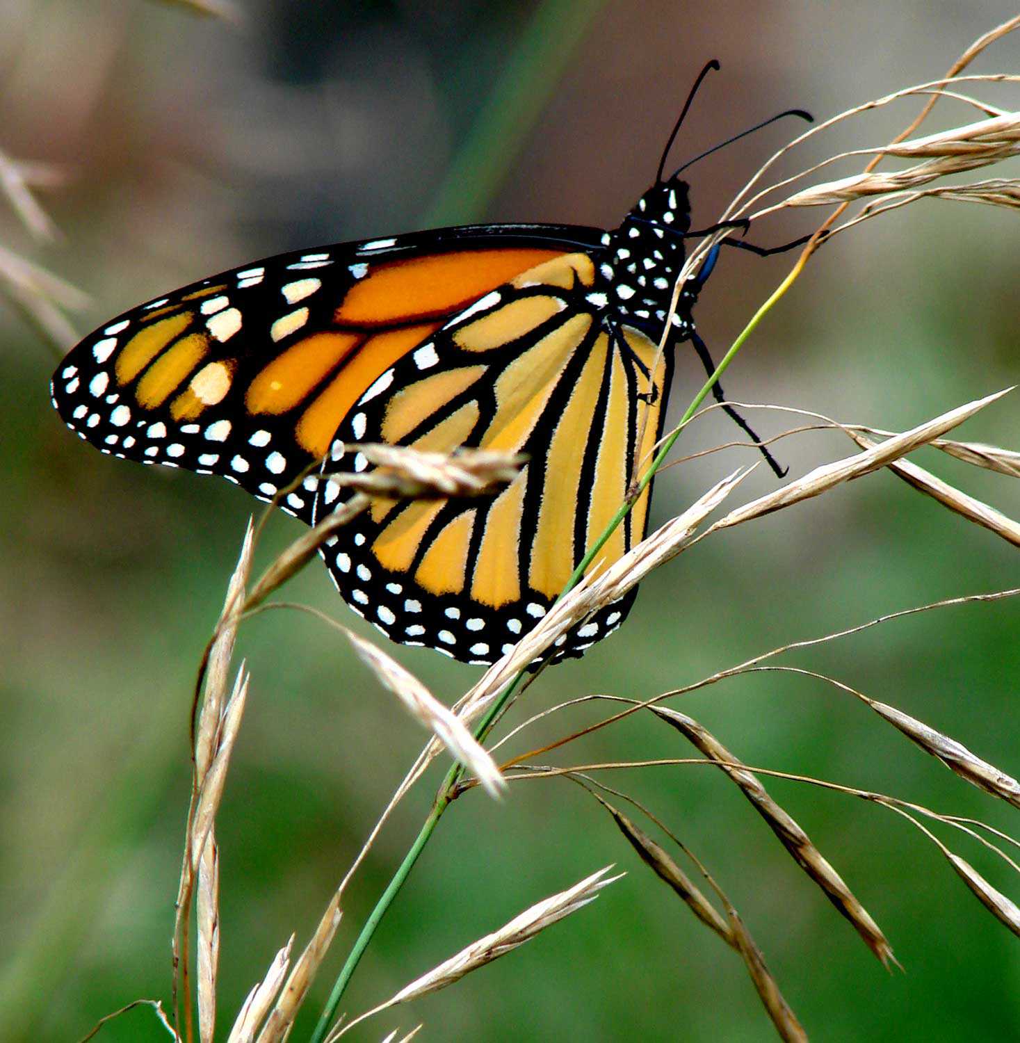
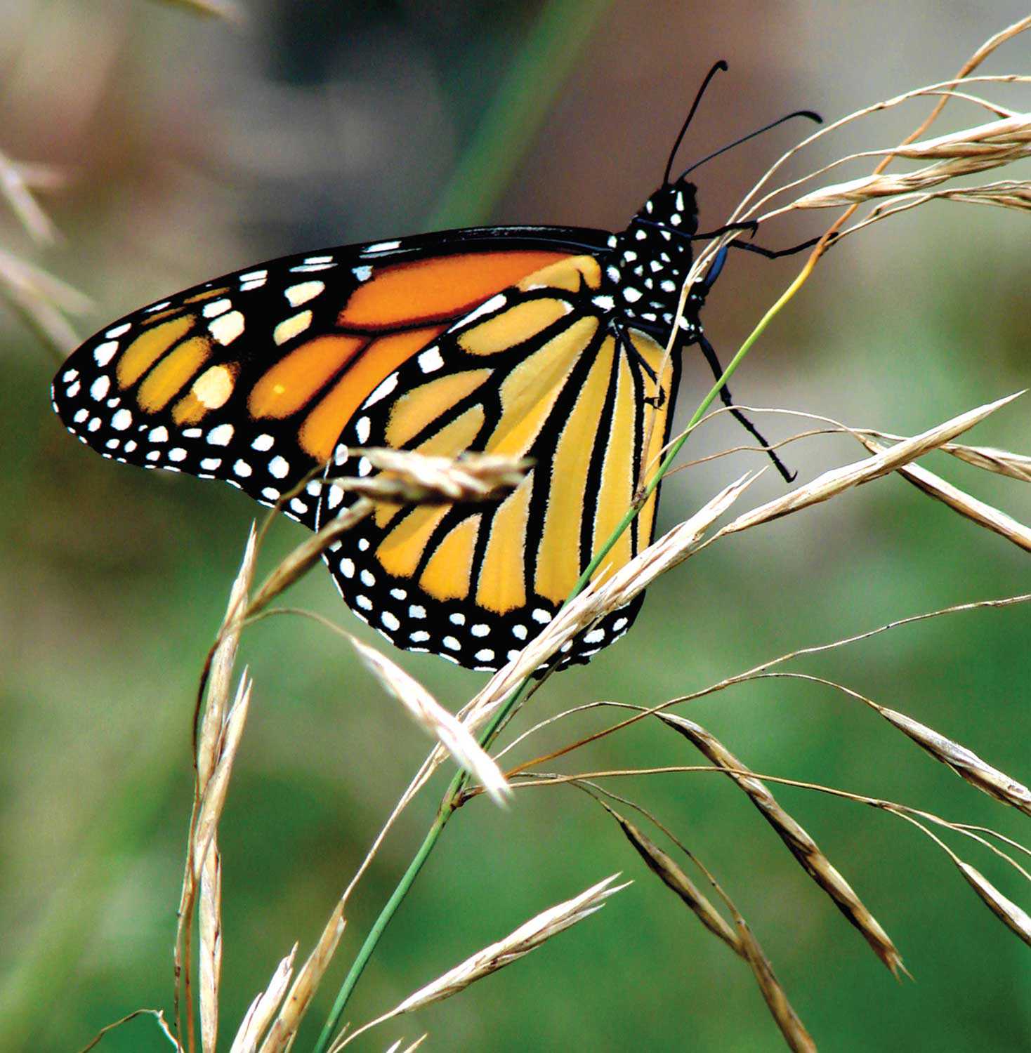
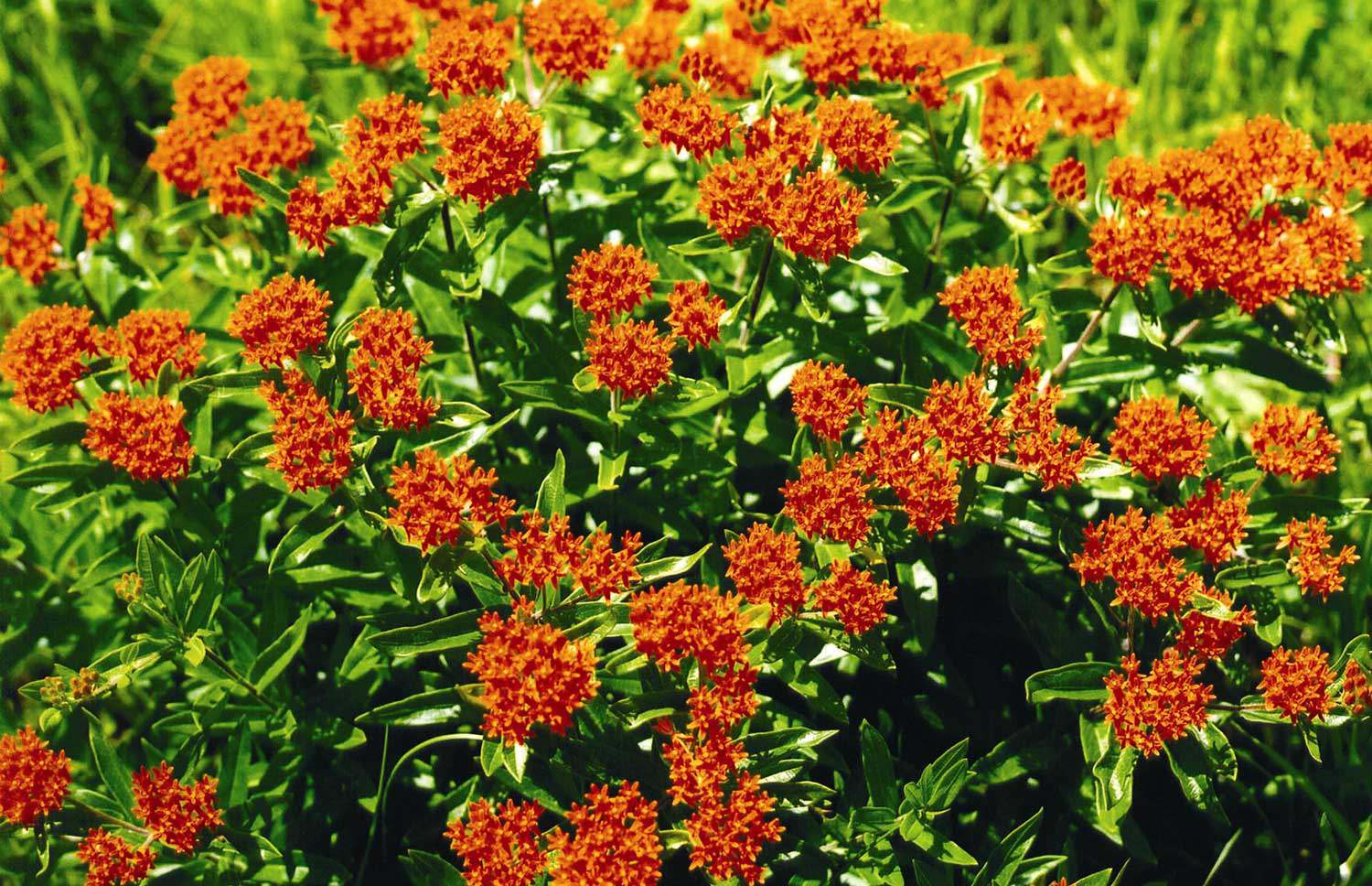
Species at risk: The monarch butterfly (danaus plexippus)
The beautiful Monarch butterfly is the most recognized butterfly in North America. What is not commonly known is that it is also a species at...![]()
- 15 Feb 2007
- Environment
Natural heritage - Author: Paula Terpstra,
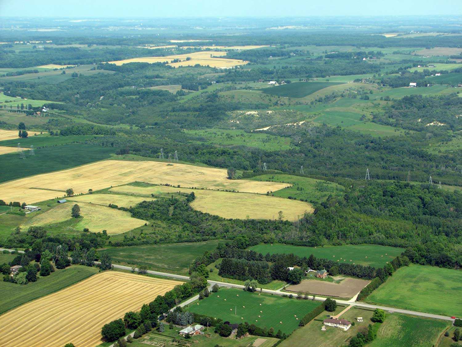
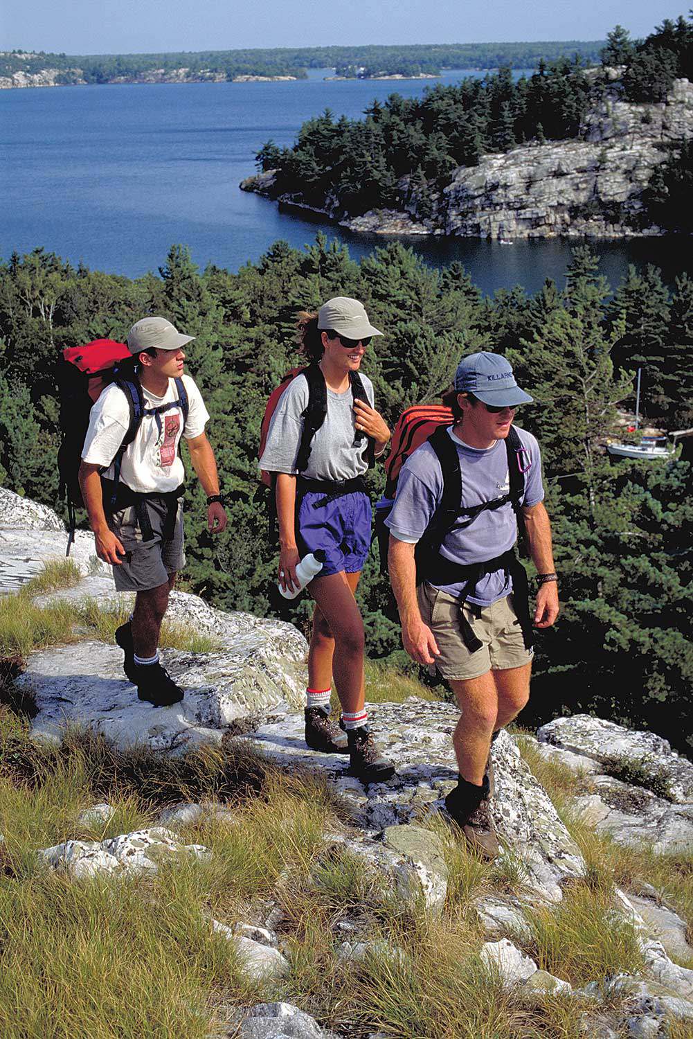
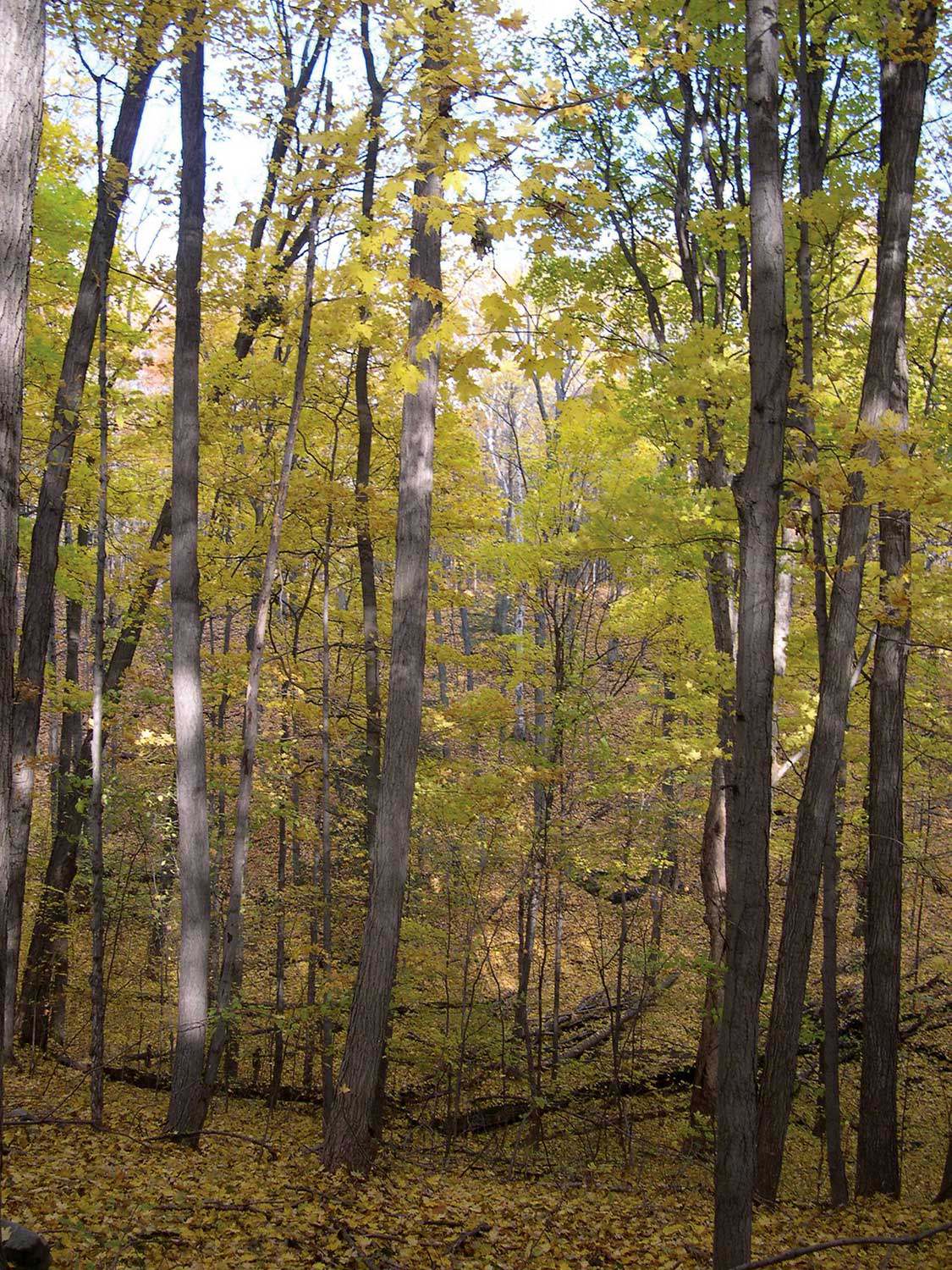
Along the Oak Ridges Moraine Trail
Hiking along the Oak Ridges Moraine Trail offers a memorable experience. Situated close to the Greater Toronto Area, the Trail provides an opportunity to encounter...![]()
- 15 Feb 2007
- Black heritage
Buildings and architecture
Natural heritage - Author: Gordon Pim,
Heritage by numbers
Ontario’s heritage is an immense and complex jigsaw puzzle. Every individual element of heritage creates a whole . . . a sort of heritage by...![]()
- 07 Sep 2006
- Women's heritage
Arts and creativity
Natural heritage - Author: Gordon Pim,
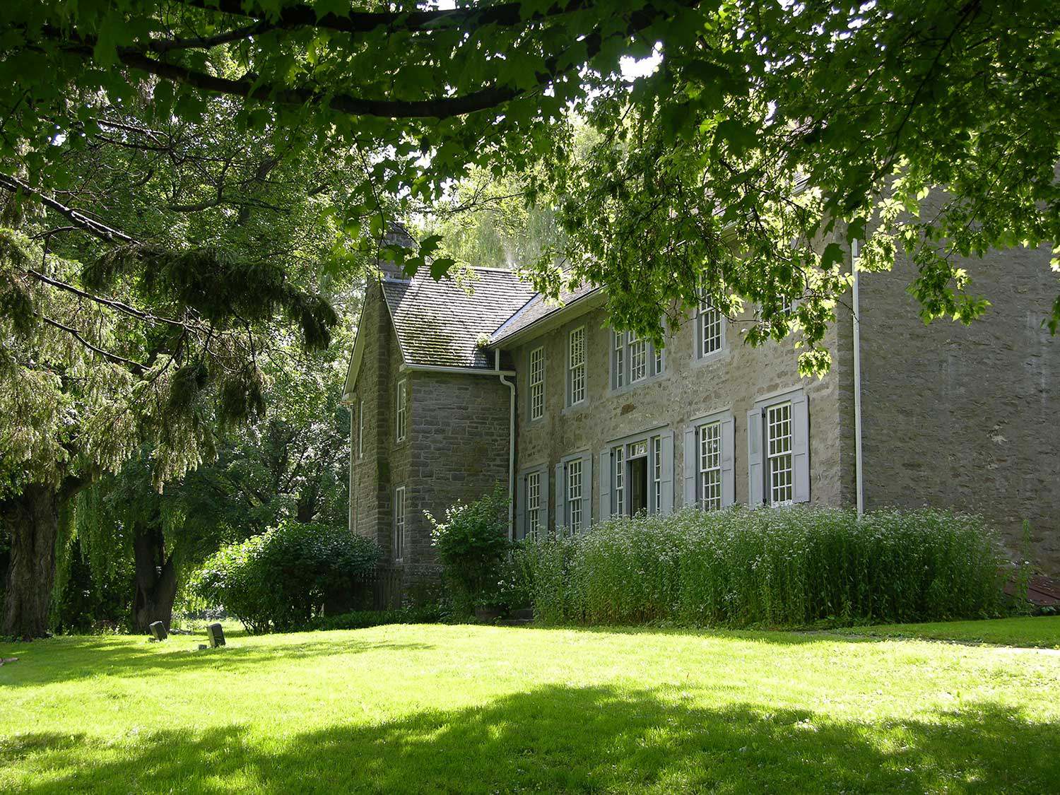
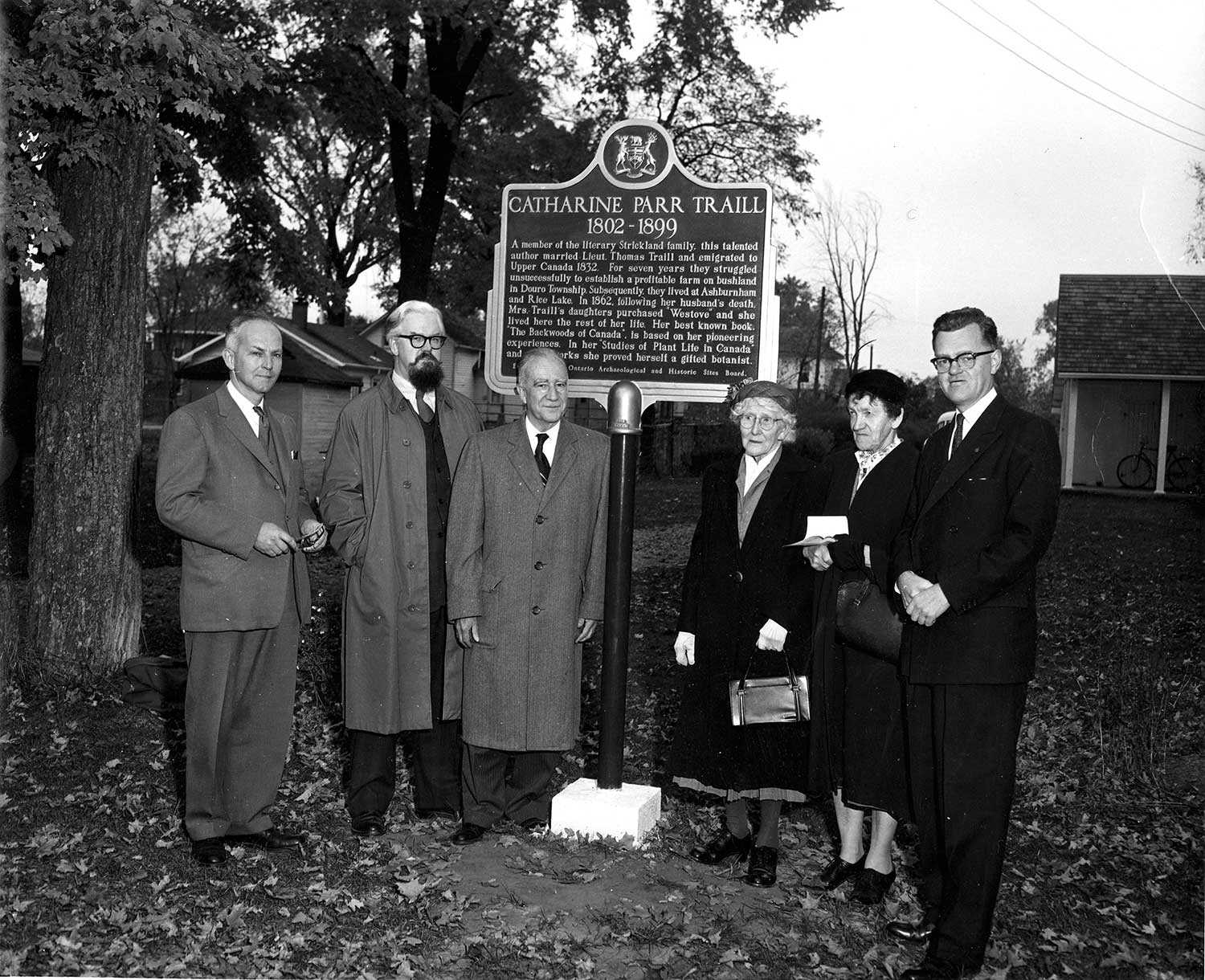
Literary giants
Catharine Parr Traill is one of Canada’s literary luminaries. Her life story spans most of the 19th century, crossing oceans, battling cholera and journeying through...![]()
- 25 May 2006
- Natural heritage
- Author: Catrina Colme,
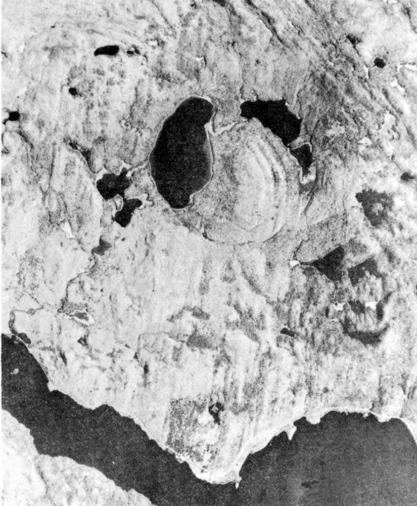
Giant meteorite slams Algonquin Park
Well, that would have been the headline 450 million years ago. Today, it is a fascinating mark on our natural landscape. This is not a...![]()
- 25 May 2006
- Environment
Natural heritage - Author: Tony Buszynski,
It’s not easy staying green: Working for a green and healthy Ontario
Natural heritage conservation can be traced back to the early times of the First Nations, whose close relationship with nature was reflected in religious beliefs...![]()
- 25 May 2006
- Natural heritage
- Author: Fran Moscall,
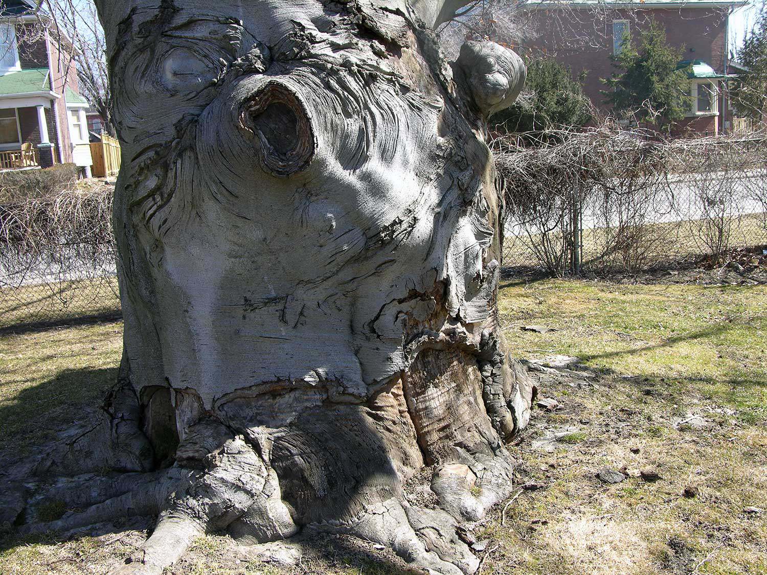
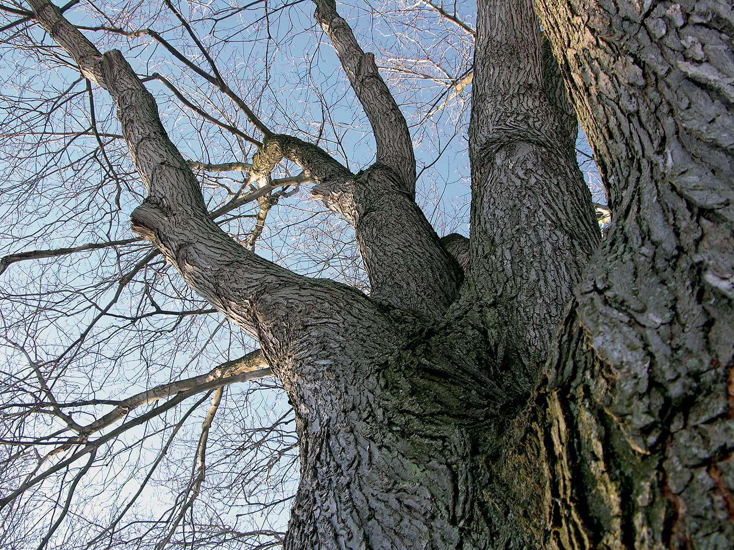
Remarkable trees – Heritage tree preservation in Ontario
What is heavier than any land animal, taller than most buildings, older than many ancient monuments? One of the world’s oldest living organisms are –...![]()
- 25 May 2006
- Natural heritage
- Author: Paula Terpstra,
Making tracks
Ontario’s 64,000-km network of trails traverses a varied landscape of wilderness, rural and urban areas. These trails range from waterways and portage routes to footpaths...![]()
- 25 May 2006
- Natural heritage
- Author: Karen Abel,
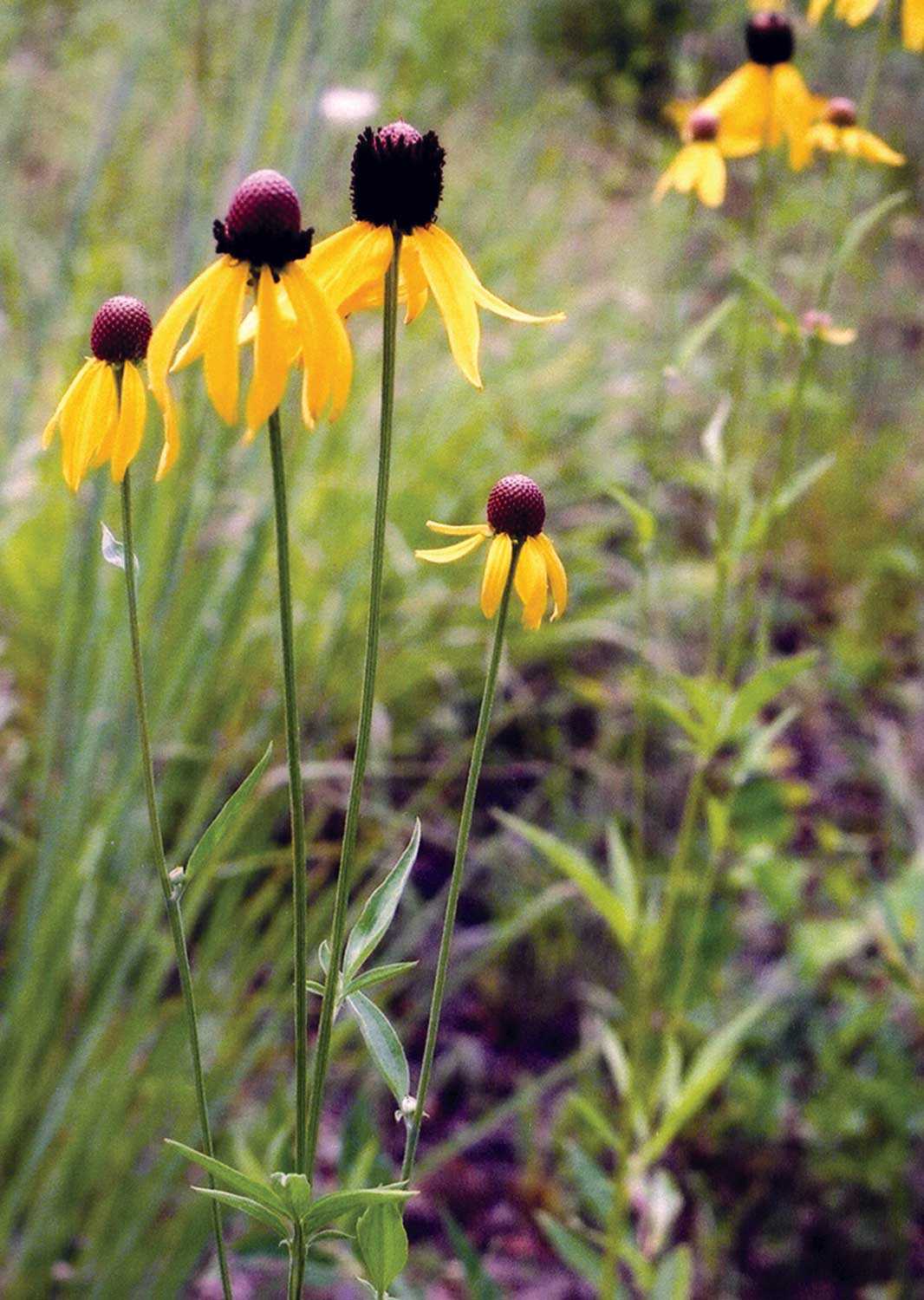
Gardening for biodiversity
Many gardeners today are finding enjoyable and educational ways to participate in the promotion and preservation of Ontario’s natural heritage through the creation of habitat-inspired...![]()
- 25 May 2006
- Natural heritage
Tools for conservation - Author: Jeremy Collins,
The anatomy of a heritage conservation easement: Building the framework for a conservation partnership
Private landowners are often faced with a difficult dilemma – how to preserve the heritage of their land for future generations in a world where...![]()
- 25 May 2006
- Natural heritage
- Author: Barbara Heidenreich,
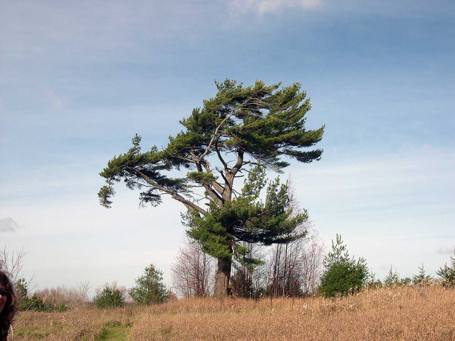
Our provincial tree: The eastern white pine
Builders of British sailing ships during the 1800s sought the tall, straight white pine for the masts. The best trees in British North America were...![]()
- 25 May 2006
- Natural heritage
- Author: Barbara Heidenreich,
Giving back to nature
Southwestern Ontario sustains the richest array of flora and fauna in the country. Known as Canada’s deep south, this area includes sassafras, flowering dogwood, tulip...![]()
- 25 May 2006
- Natural heritage
- Author: Tony Buszynski,
Working together to save our natural heritage
With ongoing development pressures for housing, roads and commercial and industrial activities in Ontario, natural heritage protection has become more critical than ever before in...![]()
- 16 Feb 2006
- Environment
Natural heritage - Author: Ontario Heritage Trust,
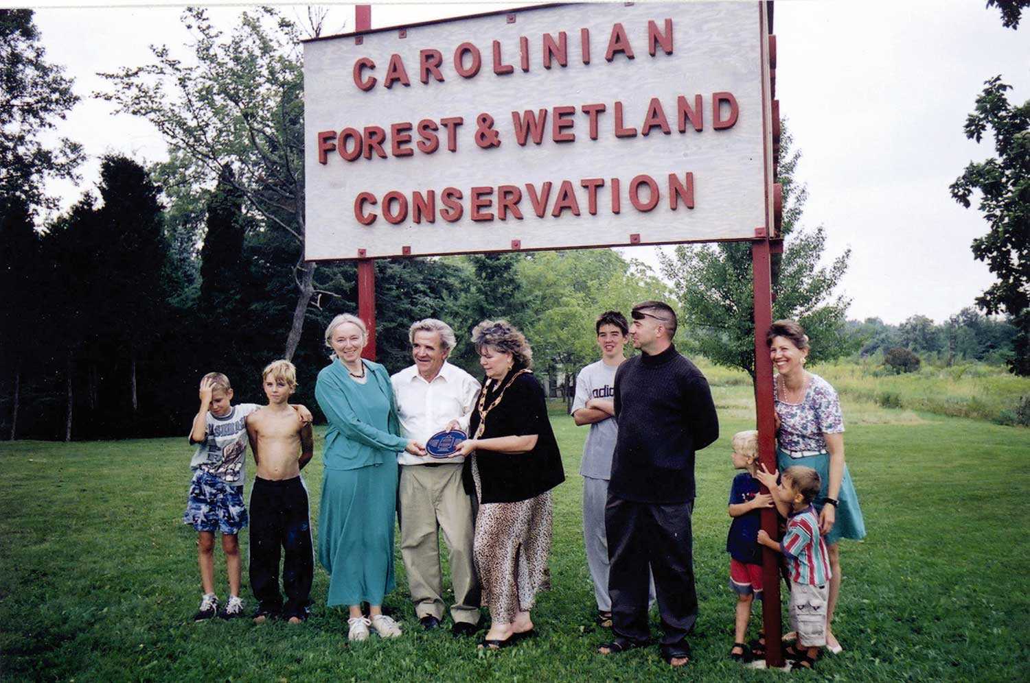
Protecting natural spaces in Southern Ontario
On August 3, 2005 the provincial government announced the creation of the Natural Spaces Program, which included a $6-million allocation to the Ontario Heritage Trust...![]()
- 08 Sep 2005
- Buildings and architecture
Natural heritage
Community
Cultural landscapes - Author: Richard Moorhouse and Beth Hanna,
The new Ontario Heritage Act: The evolution of heritage conservation
An important shift has occurred in Ontario’s legislative framework for heritage conservation. On April 28, 2005, the Ontario Heritage Amendment Act (Bill 60) received royal...![]()
- 19 May 2005
- Natural heritage
- Author: Ontario Heritage Trust,
Visiting the Cheltenham Badlands
Nestled on the Niagara Escarpment amid the rolling countryside of the Caledon Hills lies a unique landscape locally known as the Cheltenham Badlands. The site...![]()
- 12 Feb 2005
- Natural heritage
- Author: Ontario Heritage Trust,
Gifts of nature
The Egbert Ross Boothby property Imagine a plot of land on the Lake of Bays, seemingly untouched by human habitation. It has almost a mile...![]()
- 12 Feb 2005
- Natural heritage
Community - Author: Ontario Heritage Trust,
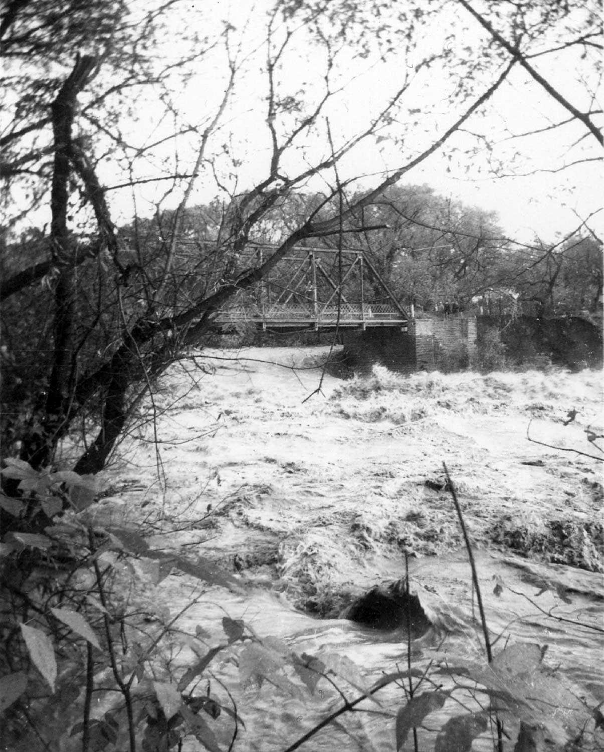
Hurricane Hazel 50 years later
There was little warning about Hurricane Hazel – one of the worst storms in Canada’s history. At the time, few Canadians paid attention to tropical...![]()
We're Social
Keep up with our latest news and information

- Accessibility
- Privacy statement
- Terms of use
- © King's Printer for Ontario, 2023
- Photos © Ontario Heritage Trust, unless otherwise indicated.
- Accessibility
- Privacy statement
- Terms of use
- © King's Printer for Ontario, 2023
- Photos © Ontario Heritage Trust, unless otherwise indicated.