


Browse by category
- Adaptive reuse
- Archaeology
- Arts and creativity
- Black heritage
- Buildings and architecture
- Communication
- Community
- Cultural landscapes
- Cultural objects
- Design
- Economics of heritage
- Environment
- Expanding the narrative
- Food
- Francophone heritage
- Indigenous heritage
- Intangible heritage
- Medical heritage
- Military heritage
- MyOntario
- Natural heritage
- Sport heritage
- Tools for conservation
- Women's heritage
- Home
- Adaptive reuse
- Archaeology
- Arts and creativity
- Black heritage
- Buildings and architecture
- Communication
- Community
- Cultural landscapes
- Cultural objects
- Design
- Economics of heritage
- Environment
- Expanding the narrative

Expanding the narrative
 This is part of a broader conversation about whose history is being told, about gender, people of colour and the economically disenfranchised, and others whose stories have been overlooked or intentionally omitted from the authorized discussion.
- Food
- Francophone heritage
- Indigenous heritage
- Intangible heritage
Intangible heritage
Intangible cultural heritage includes language, traditions, music, food, special skills, etc.
- Medical heritage
- Military heritage
- MyOntario
- Natural heritage
- Sport heritage
- Tools for conservation
- Women's heritage
Seeing the unseen: Archaeology and geophysics

As population growth results in substantial impact to Ontario’s landscapes, efficient and cost-effective methods to locate, map and acquire information from archaeological sites are needed – before the sites are lost.
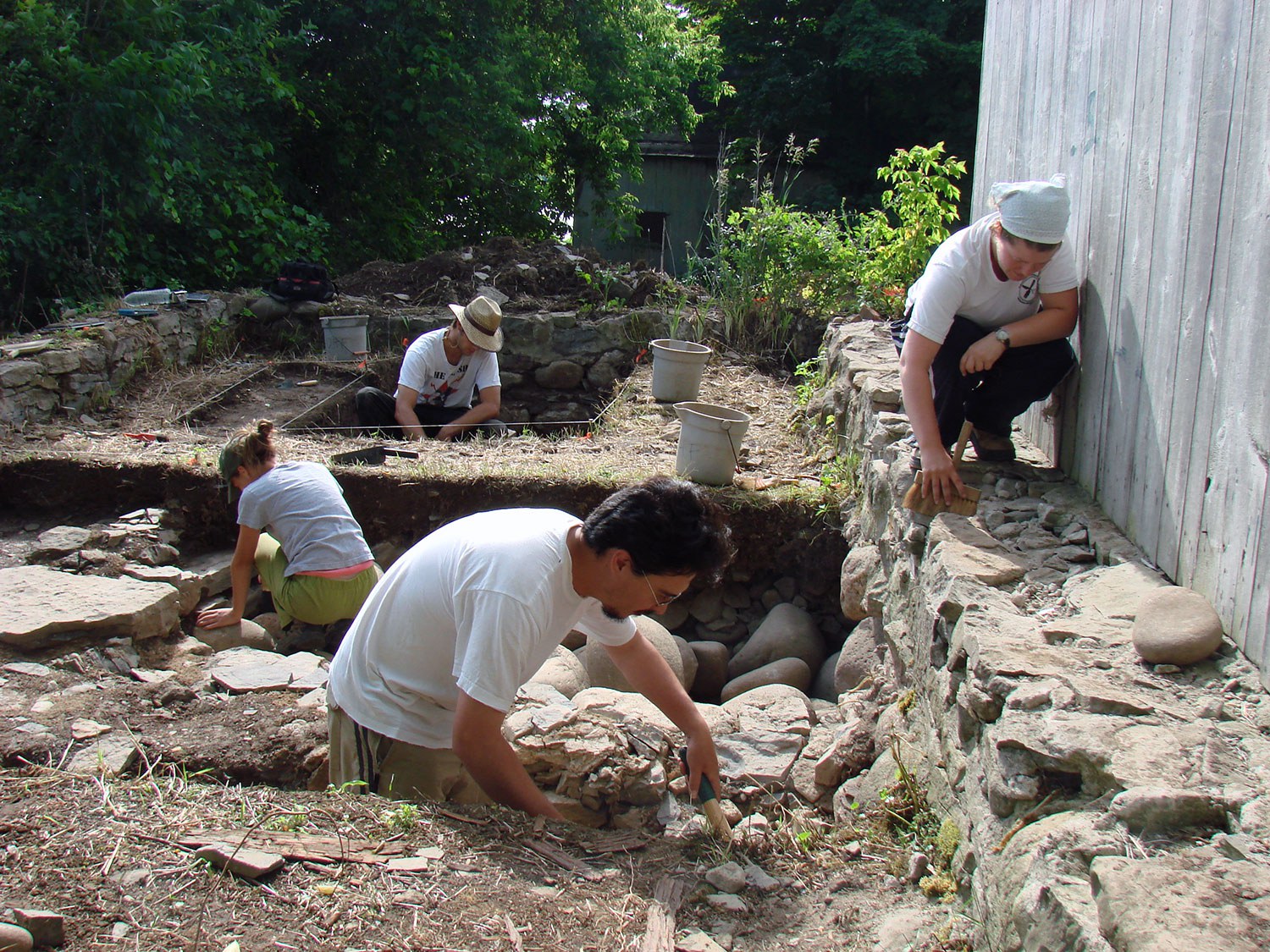
Archaeological excavation is essentially a destructive science. As each archaeological site is excavated, it is systematically destroyed. Consequently, each step of the excavation can be painstakingly slow, due to the need to carefully document each find and each level. As with every scientific endeavor, technology is beginning to change the way archaeologists work. Archaeogeophysics refers to ground-based subsurface mapping using a number of different sensing technologies (see sidebar). Geophysical methods provide additional ways to examine the remains of earlier cultures and give us clues to our province’s past.
Geophysics involves methods of data collection that allow archaeologists to discover and map buried archaeological features in ways not possible using traditional field excavation methods. Using a variety of instruments, physical and chemical changes in the ground, related to the presence or absence of buried materials, can be measured and mapped. When these changes can be connected to certain aspects of archaeological sites such as architecture (buried walls), use areas (hearths), or other associated cultural features (artifacts), high definition maps and images of buried remains can be produced.
Survey results can be used to guide excavation and to give archaeologists insight into the patterning of non-excavated parts of the sites. The appropriate geophysical techniques that should be employed in an archaeological investigation will vary from location to location. Each technique has strengths and constraints that make it more or less effective in detecting sub-surface features, depending on the environmental conditions. Interestingly, geophysics can detect and map features both underground and underwater.

An example of mapped conductivity data from an area south of Assumption Church (Windsor), a property protected by a Trust conservation easement, showing the presence of modern utilities (Image: Benjamin Lane)
Archaeologists can be greatly assisted in setting excavation priorities if geophysical methods are used first. These methods have the ability to allow large areas of the subsurface to be investigated, precisely mapped and interpreted based on their form, distribution, context and measurement characteristics. Irregularities in the landscape indicated by geophysics are factual. In other words, a real physical cause must exist in the ground. Ground-truthing by archaeologists includes verifying the presence of archaeological features detected through the use of geophysics by placing excavation units in those areas.
Due to provincial legislation in Ontario, archaeological assessments are often required prior to the clearing of an area and construction of new buildings. Frequently, the time available for the archaeological effort may be limited. Geophysical methods may be of great value as the site will often be totally destroyed by the new construction. Determining the impact of the existing environment on the ability to use geophysics must be considered and evaluated by geoscientists and archaeologists in order to develop innovative investigation methods. As new equipment and software are introduced, new demands are placed on archaeologists to understand this technology and to learn how data can be assembled into a coherent whole. This permits one to combine data from classes of measurement such as artifact densities, topography, magnetometry, ground penetrating radar, conductivity, global positioning systems and aerial/satellite imagery.
The human past has been the subject of scientific inquiry for centuries, and has long been approached through studying material remains recovered from traditional archaeological excavations. In recent decades, the advancing fields of geophysics and geographic information systems have enhanced the toolkit for archaeologists. Geophysics has the potential to assist decision makers with better access to the archaeological record, in a way that is non-invasive or destructive and that may stimulate more opportunities for in situ conservation.

Geophysical survey methods
Electrical resistivity tomography (ERT) is the measurement of the soil’s electrical resistance, and is useful for finding buried wall foundations, ditches, burial areas and a range of other features.
Electromagnetic (EM) Conductivity is the inverse of resistivity. It measures the ability of the soil to conduct electricity. Items that conduct electricity easily show up as high in conductivity, indicating potential buried materials such as walls, foundations, roads, wells, canals, pits, hearths and graves.
Magnetometry is suitable for finding buried hearths, walls, ditches or any magnetized (heated) materials, such as burned soils. A gradiometer is an instrument that measures slight changes in the earth’s magnetic field.
Ground-penetrating radar (GPR) is used to send a radar signal through the ground and measure the transit time for sending and return. The results are compiled into a three-dimensional map of what lies beneath the surface, such as hearths, post-holes, ditches, voids or cavities, wall foundations and burials.
RelatedStories
- 01 Oct 2019
- Economics of heritage
Archaeology
Community - Author: Donovan Rypkema,
Nine ways that heritage conservation is good for the economy
Advocates for heritage conservation have traditionally made their case on the basis of architectural character, cultural significance, social relevance, esthetic quality and other values of...![]()

- 17 Feb 2017
- Indigenous heritage
Archaeology
MyOntario - Author: Jean-Luc Pilon,
The gift of time travel
In the summer of 1982, I was carrying out archaeological research near the shores of Hudson Bay on the Severn River. One of the sites...![]()

- 17 Feb 2017
- Archaeology
MyOntario - Author: William R. Fitzgerald,
A divine intersection of history and archaeology
Suspicion, fear, and intimidation met Jesuit priests Jean de Brébeuf and Pierre-Joseph-Marie Chaumonot during their Mission of the Angels to “la Nation Neutre” between November...![]()

- 17 Feb 2017
- Archaeology
MyOntario - Author: Dr. Patrick Julig,
Reflections on ancient quarry sites of northern Ontario
In the 1980s-90s, I excavated at Cummins and Sheguiandah National Historic Site quarry/ workshops in northern Ontario – in addition to many neat places elsewhere...![]()

- 09 Oct 2015
- Archaeology
- Author: Dr. Robert I. MacDonald,
Challenges of archaeological collections management
While buildings are among the most visible elements of heritage landscapes, they are frequently like the tip of the proverbial iceberg, associated with vast underground...![]()

- 09 Oct 2015
- Archaeology
- Author: Patryk Weglorz,
Resources: Revealing the past: Ontario's archaeological heritage
Online Archaeological Institute of America Canadian Archaeological Association Canadian Conservation Institute Canadian Museum of History Council for North Eastern Historical Archaeology (CNEHA) Historic England Huronia...![]()

Sustaining Ontario’s archaeology digitally
Archaeology has a long history of turning to new technologies to advance the pursuit of understanding our ancient past. From measuring the decay of carbon...![]()

- 09 Oct 2015
- Archaeology
- Author: Archaeology Program Unit at the Ministry of Tourism, Culture and Sport,
By the numbers
Archaeology is an important part of the planning and development process in Ontario. Each year, thousands of archaeological assessments are completed by licensed archaeologists to...![]()
- 09 Oct 2015
- Archaeology
- Author: Dr. Alicia Hawkins,
The history of archaeological investigations at the Thomson-Walker Site
Huronia – the point of land jutting out into the southern end of Georgian Bay – has caught the imagination of historians and archaeologists for...![]()

- 09 Oct 2015
- Archaeology
- Author: Lena Rye,
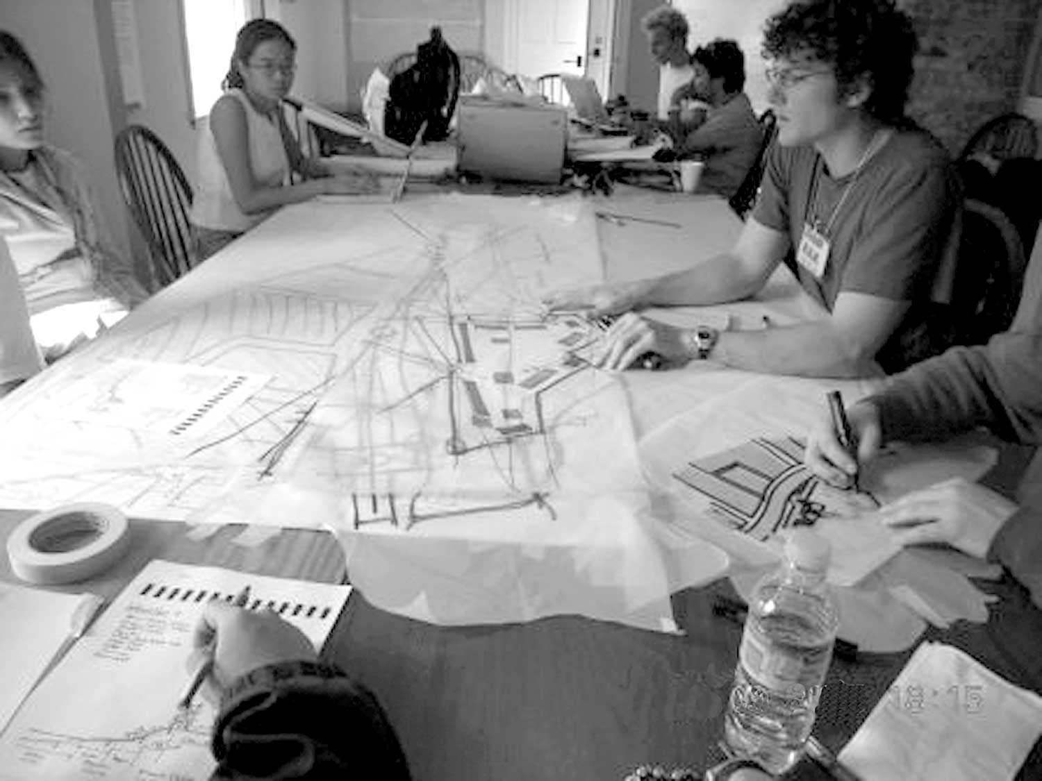
Breaking ground
On a July morning in 2010, an 11-year-old girl arrived at Toronto’s Spadina House. Excited and only slightly scared, she wondered what the next two...![]()

- 09 Oct 2015
- Archaeology
- Author: Martha Latta, Richard Zane Smith and Michel Savard,
Looking at archaeology from all angles
Every archaeological artifact tells its own unique story. But what it says can be – and is – interpreted differently, depending on who is examining...![]()
- 09 Oct 2015
- Archaeology
- Author: Ron Williamson,
Archaeology 101
What is archaeology? This may seem like a straightforward question, but you would be surprised with the answers that Canadians give to this question. In...![]()
- 05 Dec 2014
- Archaeology
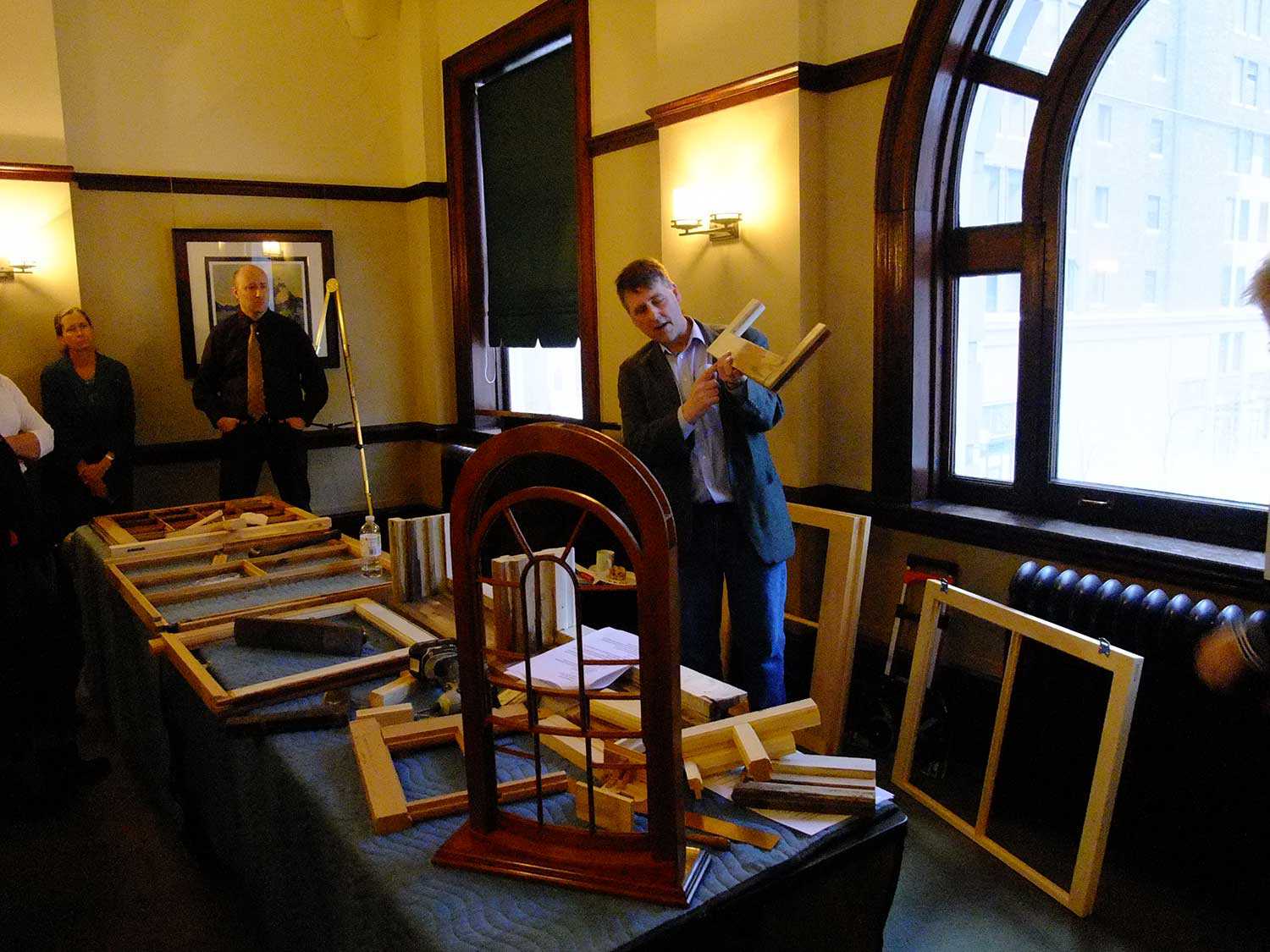
Buildings and architecture - Author: Dena Doroszenko and Romas Bubelis,
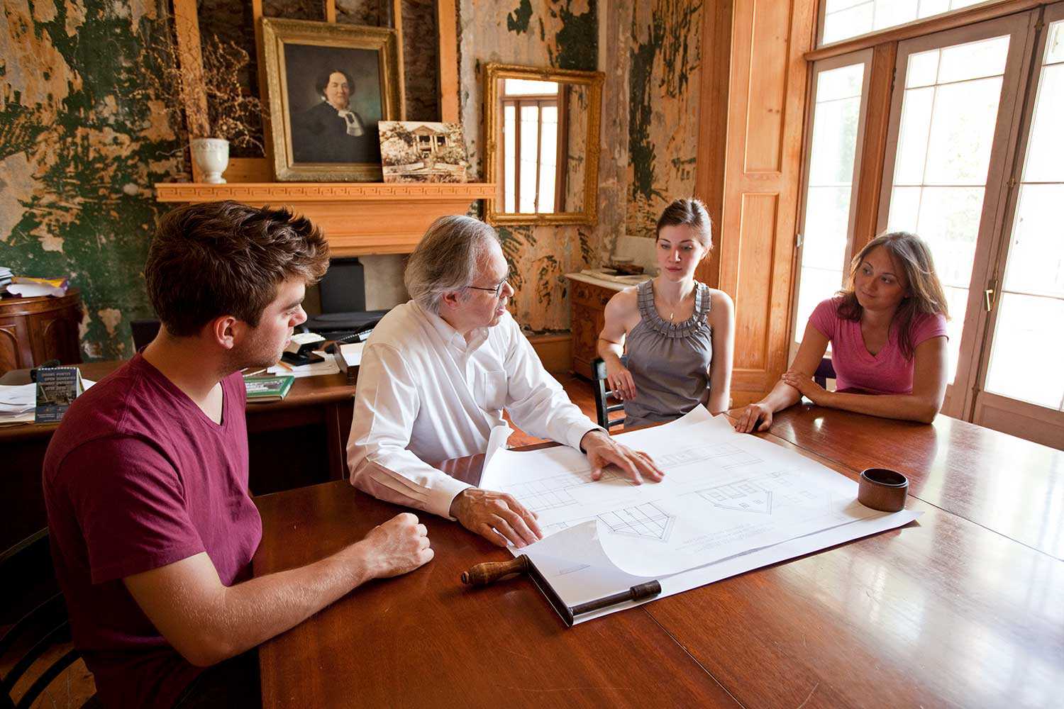
Perspectives on a site: Artifacts, fragments and layers
When the Trust conserves a property as complex as Macdonell-Williamson House, we consider a variety of perspectives related to the site as an artifact –...![]()
- 10 May 2013
- Community
Tools for conservation - Author: Robert Tremain,
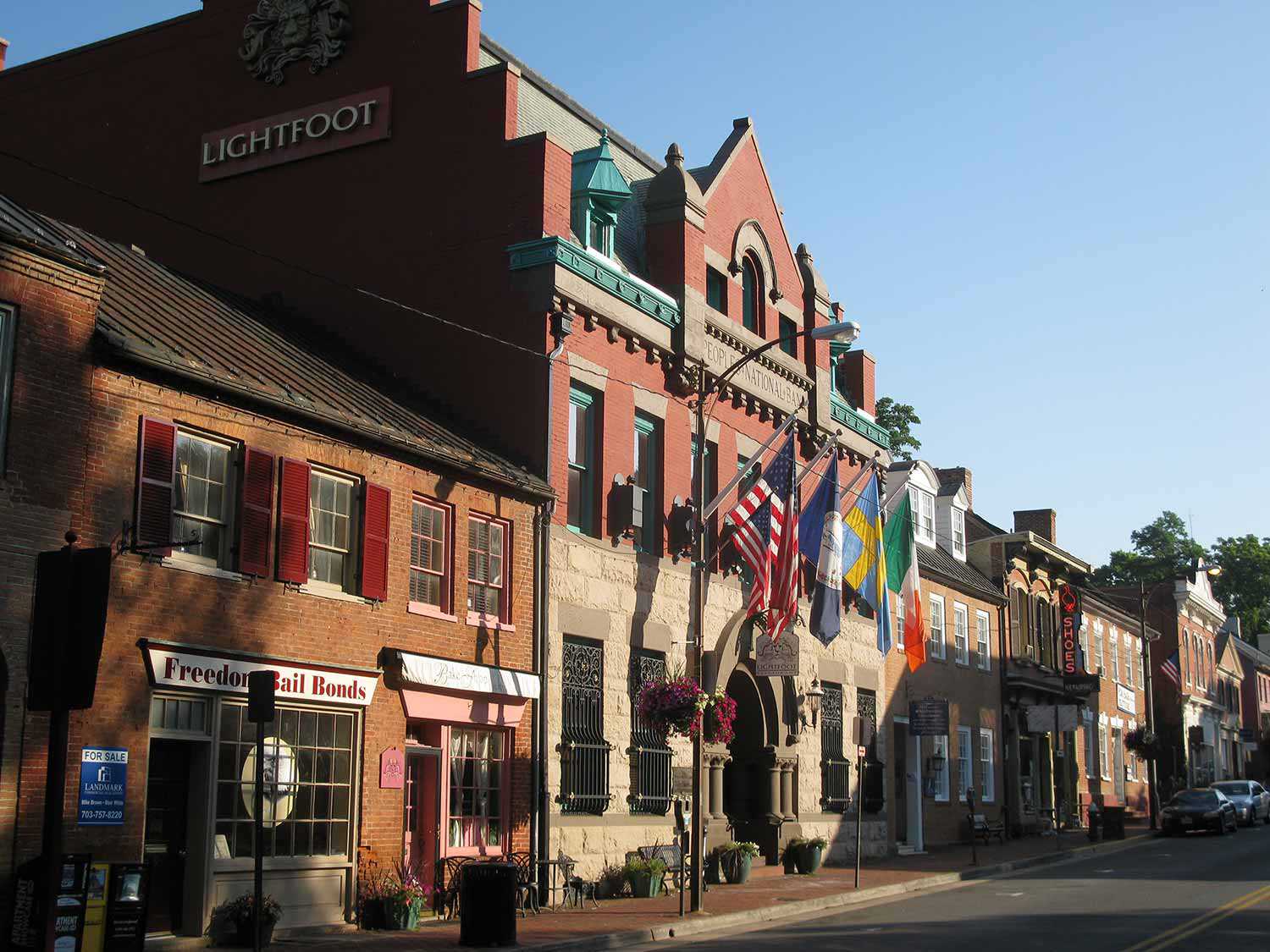
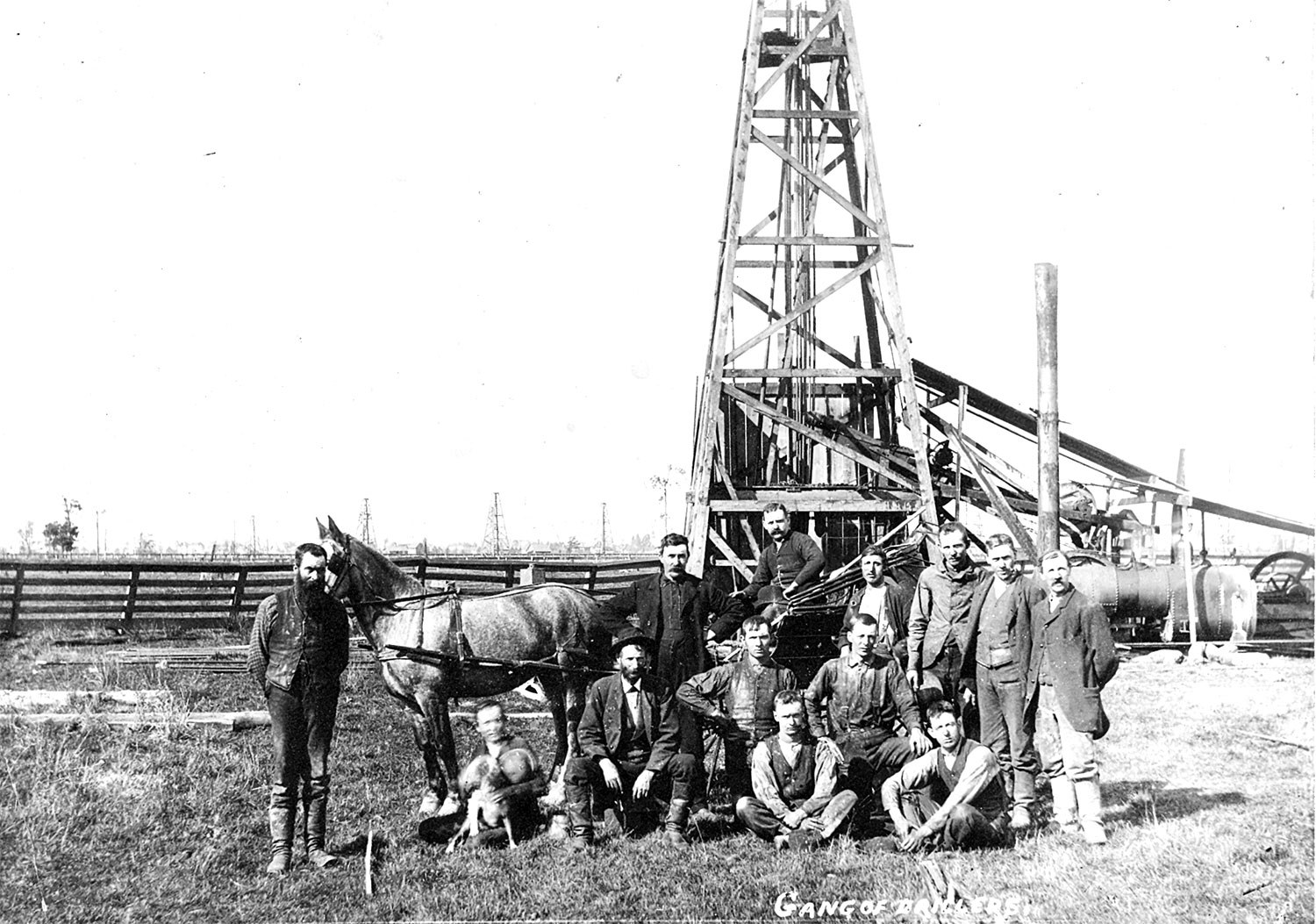
Oil Springs Heritage District: Working from the ground up
In the mid-19th century, southwestern Ontario was Canada West’s last frontier, where lines of travel, civility and comfort faced the untamed. From these impassable wetlands...![]()
- 10 May 2013
- Buildings and architecture
Tools for conservation - Author: Ontario Heritage Trust,
Resources: Building communities: Heritage conservation districts
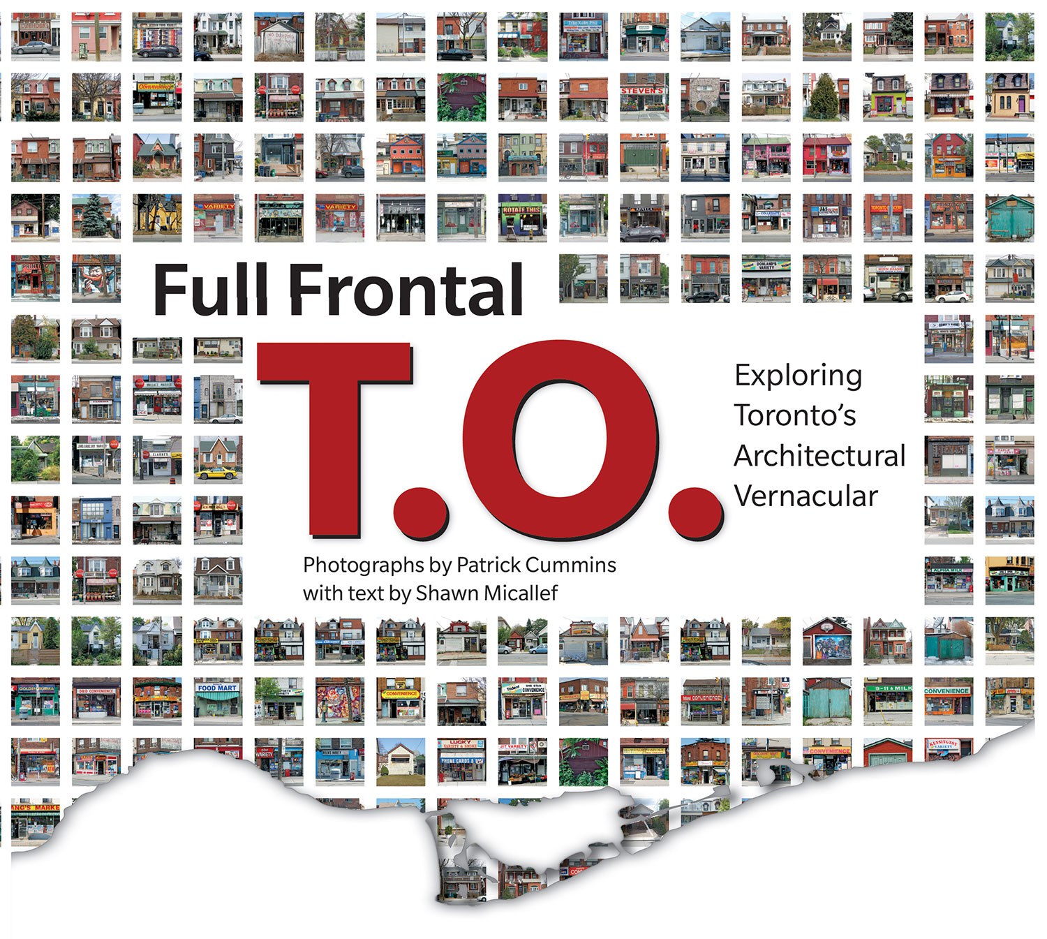
What's on the shelf Full Frontal T.O. – Exploring Toronto’s Architectural Vernacular, by Shawn Micallef with photographs by Patrick Cummins. Coach House Books, 2012. For...![]()
- 10 May 2013
- Buildings and architecture
Community
Tools for conservation - Author: Jim Leonard,
Heritage conservation districts: The most popular tool in the heritage toolkit?
When the Ontario Heritage Act came into force in 1975, municipalities across the province suddenly had the authority to protect and enhance “groups of properties...![]()
- 10 May 2013
- Buildings and architecture
Community
Tools for conservation - Author: Mark Warrack,
How districts change
Meadowvale Village – a once-small, rural village – is located on the Credit River at the north end of the City of Mississauga. In the...![]()
- 10 May 2013
- Buildings and architecture
Community
Tools for conservation - Author: Joan Mason,
Grassroots heritage: The stewards of New Edinburgh
Located in the City of Ottawa at the confluence of the Rideau and Ottawa rivers is the historical community of New Edinburgh. With its roots...![]()
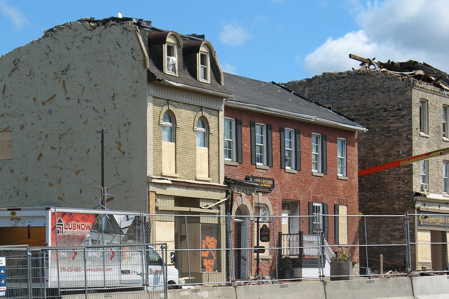
The Goderich story: A lesson in survival
For the past 18 months, West Street in Goderich has been as much a construction site as it has a place of service and retail...![]()
- 15 Feb 2013
- Archaeology
Arts and creativity - Author: Katherine McIntyre,
Archeological treasure in a provincial park
Reprinted with permission (Windspeaker, Volume 28, Issue 4, 2010) North America’s largest collection of petroglyphs remained undisturbed for centuries. Then in 1954, three geologists out...![]()

- 10 Nov 2011
- Black heritage
Archaeology - Author: Dena Doroszenko,
Breaking ground virtually: Looking through the Henson Family cemetery
Many have forgotten how influential Harriet Beecher Stowe’s novel Uncle Tom’s Cabin was at the time of its 1852 publication. It was a catalyst for...![]()
- 31 May 2011
- Tools for conservation
- Author: Ontario Heritage Trust,
Resources: Investing in preservation
Stanley Barracks: Toronto’s Military Legacy, by Aldona Sendzikas Dundurn Press. Stanley Barracks begins with the construction in 1840-41 of the new facility that replaced the...![]()
- 31 May 2011
- Tools for conservation
- Author: Julian Smith and Tom Riddolls,
Lessons in preservation: A profile of two Ontario schools
Willowbank School of Restoration Arts Willowbank School of Restoration Arts is an emerging institution that reflects what Gustavo Araoz, President of the International Council on...![]()
- 31 May 2011
- Buildings and architecture
Natural heritage
Community
Tools for conservation - Author: Sean Fraser, Erin Semande and Mike Sawchuck,
Investing in preservation
It is an unfortunate reality that the preservation of our heritage remains the exception rather than the norm. What is a common-sense approach to living...![]()

- 06 May 2010
- Tools for conservation
- Author: Sean Fraser,
Heritage starts here: A brief history of identification
Why do we make lists? It’s an everyday activity, one that almost everyone does without even thinking about it. At a practical level – whether...![]()

- 11 Feb 2010
- Indigenous heritage
Archaeology - Author: Robert Pearce,
The archaeology of southwestern Ontario
Southwestern Ontario has an extremely rich and diverse cultural history dating back 11,000 years. We can follow human history and settlement through archaeology in this...![]()
- 28 May 2009
- Buildings and architecture
Community
Tools for conservation - Author: Sean Fraser,
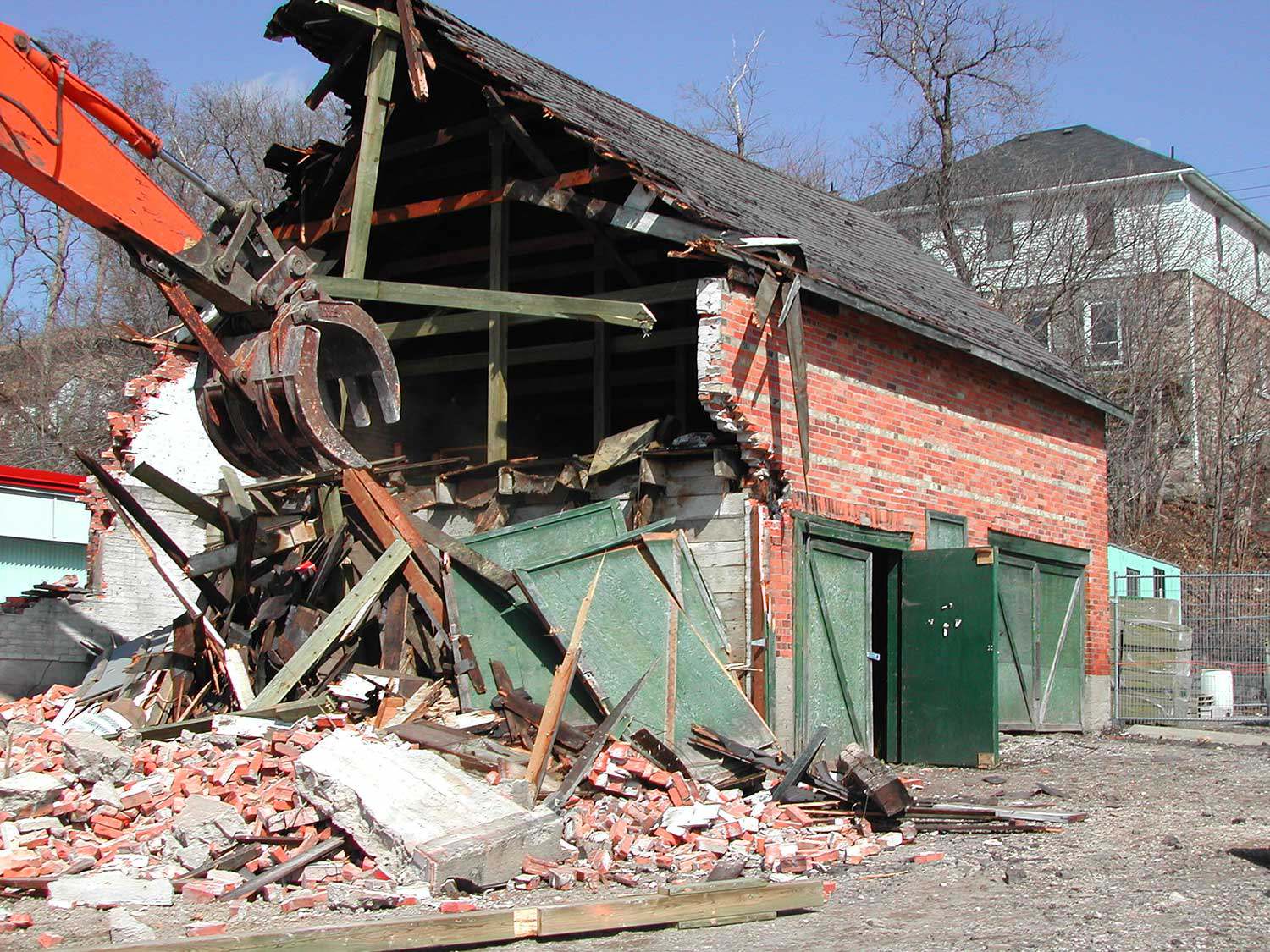
Subsidizing demolition
In nature, there is no such thing as waste. Nature operates in an endless web of interconnected cycles of use, transformation and reuse. The concept...![]()

- 28 May 2009
- Environment
Tools for conservation
Food - Author: Laura Hatcher,
100-mile conservation
Increasingly, people are becoming more aware of not just what they eat, but where their food originates. While the concept is by no means new...![]()

- 14 Feb 2008
- Tools for conservation
- Author: Tony Buszynski,
Grassroots conservation
As the century progresses, there is an increasing sense of urgency about the need to preserve our precious natural heritage. Recent publicized discussions of global...![]()
- 14 Feb 2008
- Community
Tools for conservation - Author: David Tremblay,
Community conservation: Ingredients for success
For the past seven years, a group called SOS-Églises has led the fight to preserve two century-old village churches in Essex County. Located in Pointe-aux-Roches...![]()

- 14 Feb 2008
- Community
Tools for conservation - Author: Ontario Heritage Trust,
Resources: Engaging citizens in community conservation
What's on the shelf Old Canadian Cemeteries: Places of Memory, by Jane Irwin with photographs by John de Visser (2007) Firefly Books. Canada abounds in...![]()
- 10 May 2007
- Buildings and architecture
Community
Tools for conservation - Author: Beth Hanna,
The R’s of conservation
An earlier generation spoke of the three R’s as “Reading, ‘riting and ‘rithmetic.” They were the fundamentals of education in the 19th century and considered...![]()

- 10 May 2007
- Archaeology
Natural heritage - Author: Dena Doroszenko and Sean Fraser,
Tools through time: Protecting the past for the future
Identifying and protecting places in our communities that have cultural heritage value is an important part of managing change. Heritage buildings, archaeological sites and cultural...![]()
- 10 May 2007
- Buildings and architecture
Community
Tools for conservation - Author: Sean Fraser,
Leading the way in municipal heritage planning
What’s happening in your community? With significant amendments to the Ontario Heritage Act in April 2005 and a strengthening of the Provincial Policy Statement (PPS)...![]()

- 15 Feb 2007
- Economics of heritage
Tools for conservation
Communication - Author: Richard Moorhouse,
The future of heritage: The next 40 years
With this anniversary, the Ontario Heritage Trust is celebrating its accomplishments while also looking to the future. Preserving our heritage is an ongoing endeavour; the...![]()
- 15 Feb 2007
- Buildings and architecture
Cultural objects
Tools for conservation - Author: Romas Bubelis and Nick Holman,
Heritage conservation at our front door
The term “porte-cochère” has continental flair, though humble origins. In French, it means “carriage door” and originally referred to a covered entryway into a courtyard...![]()
- 15 Feb 2007
- Archaeology
Cultural objects - Author: Dena Doroszenko,
Underground discoveries
In a wooded area near Coldwater, an archaeological site known as Thomson-Walker lies beneath the forest floor. The property on which the site is situated...![]()

- 07 Sep 2006
- Archaeology
- Author: Dena Doroszenko,
Uncovering family history
Built in Perth in 1823, Inge-Va represents one of the finest Neo-Classical Georgian houses in Eastern Ontario. In its refined, park-like setting, the house also...![]()
- 25 May 2006
- Natural heritage
Tools for conservation - Author: Jeremy Collins,
The anatomy of a heritage conservation easement: Building the framework for a conservation partnership
Private landowners are often faced with a difficult dilemma – how to preserve the heritage of their land for future generations in a world where...![]()
- 16 Feb 2006
- Buildings and architecture
Community
Tools for conservation - Author: Gordon Pim,
Winning the battle
There are countless examples across the province of successful restorations of Ontario’s treasured heritage sites. Although the challenges are great – funding being the primary...![]()
- 16 Feb 2006
- Tools for conservation
- Author: John Blumenson,
ICOMOS Canada 2005
Until the late 1800s, heritage had been primarily a national, almost insular concern. The concept of international heritage preservation began to be seriously considered in...![]()
- 16 Feb 2006
- Cultural objects
Tools for conservation - Author: Simonette Seon-Milette,
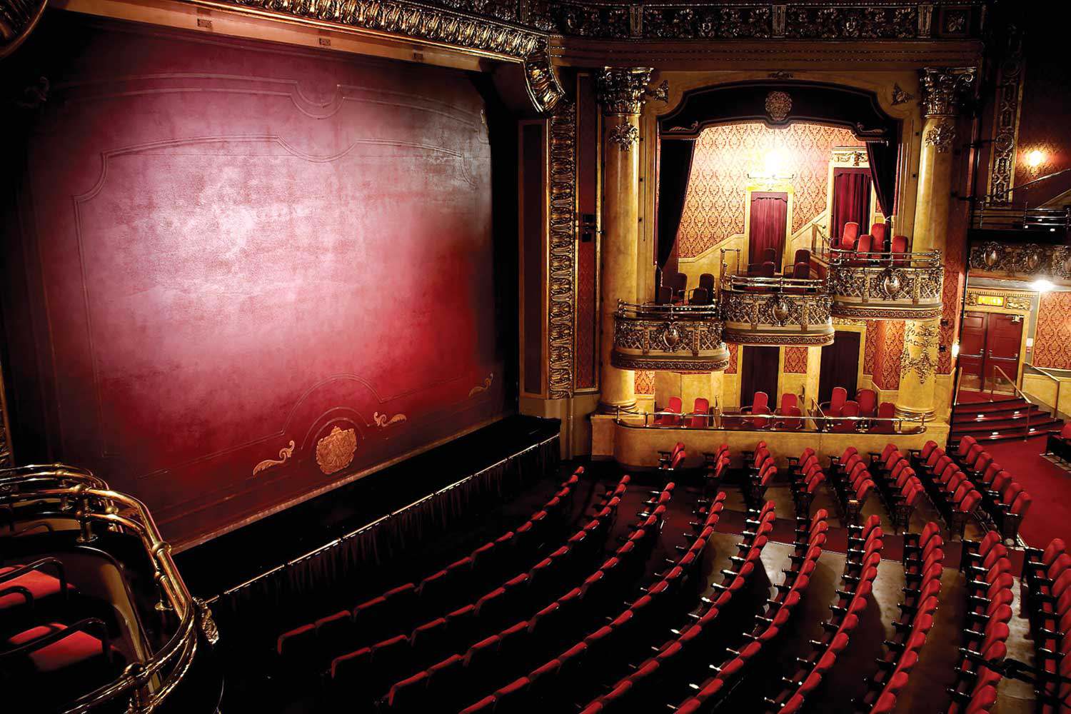
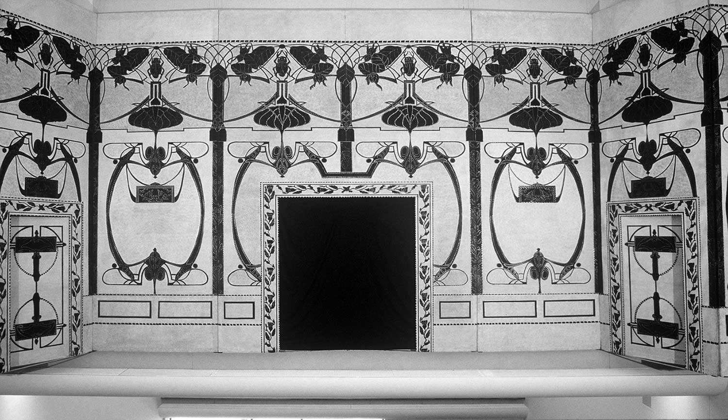
Historic scenery makes second debut
After being in storage for over 75 years, a dynamic set of theatre scenery will be displayed again at the Elgin and Winter Garden Theatre...![]()
- 16 Feb 2006
- Archaeology
Buildings and architecture
Cultural objects
Tools for conservation - Author: Romas Bubelis,
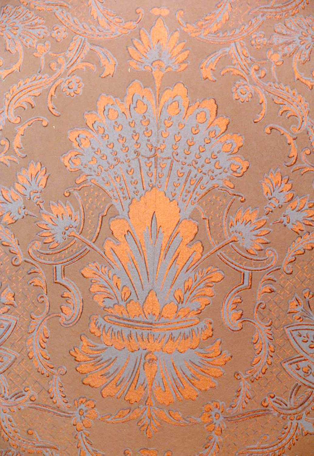
Historic wallpaper: Finding what’s beneath
Wallpapers first appeared in Canada as early as the mid-17th century. These oldest papers were block-printed, hand-painted or stenciled. Pattern and colour was applied to...![]()
- 16 Feb 2006
- Archaeology
Buildings and architecture - Author: Ontario Heritage Trust,
Breaking news: Saving our First Parliament
It was announced on December 21, 2005 that the site of Ontario’s first parliament buildings in Toronto has been saved. The Ontario Government, in partnership...![]()
- 16 Feb 2006
- Archaeology
Cultural objects
Tools for conservation - Author: Dena Doroszenko,
Digging up yesterday
Reesor live on a property near Bass Lake, Ontario that is protected by an Ontario Heritage Trust natural heritage easement. They lovingly care for this...![]()
- 08 Sep 2005
- Archaeology
Buildings and architecture - Author: Dena Doroszenko,
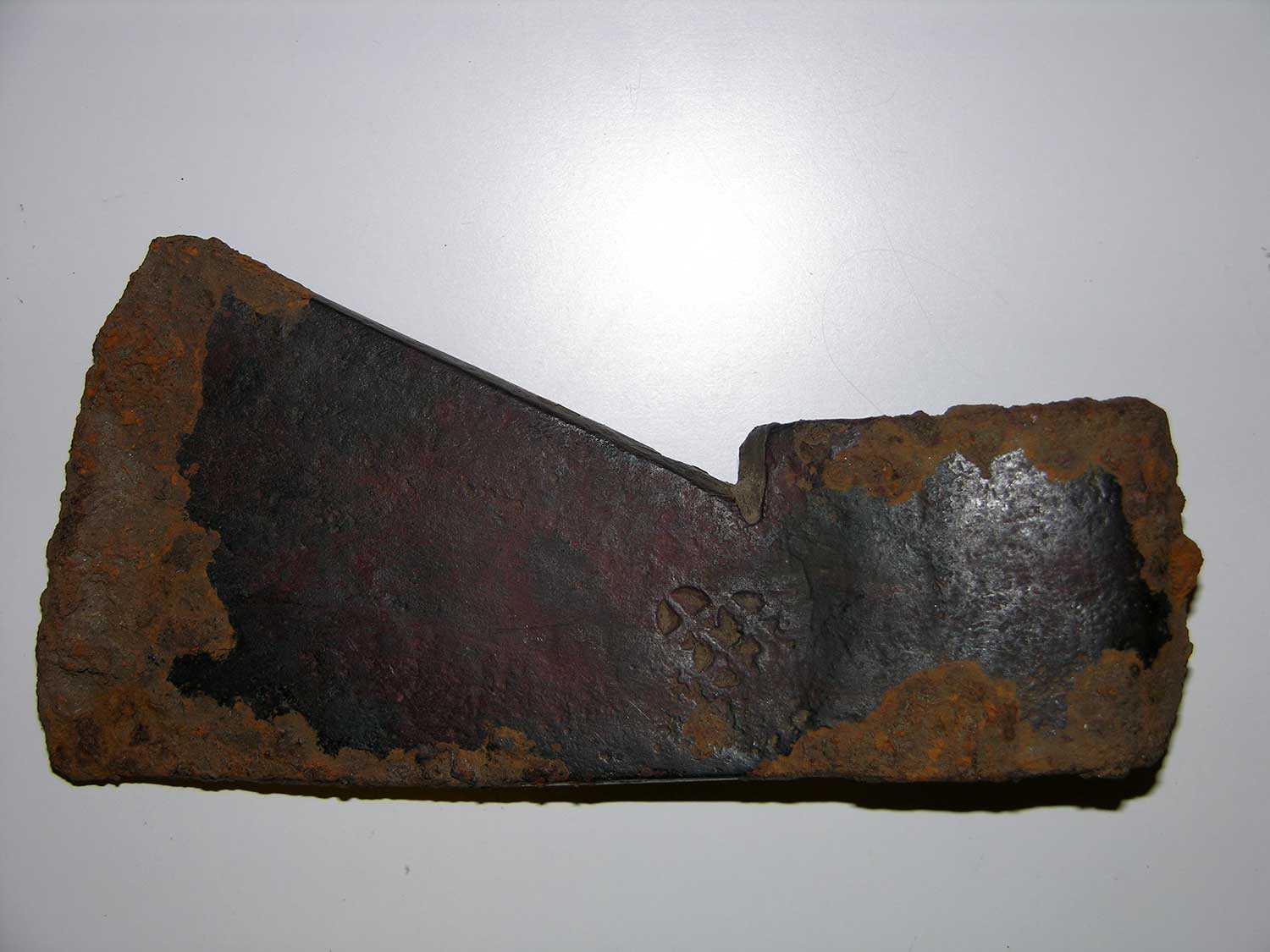
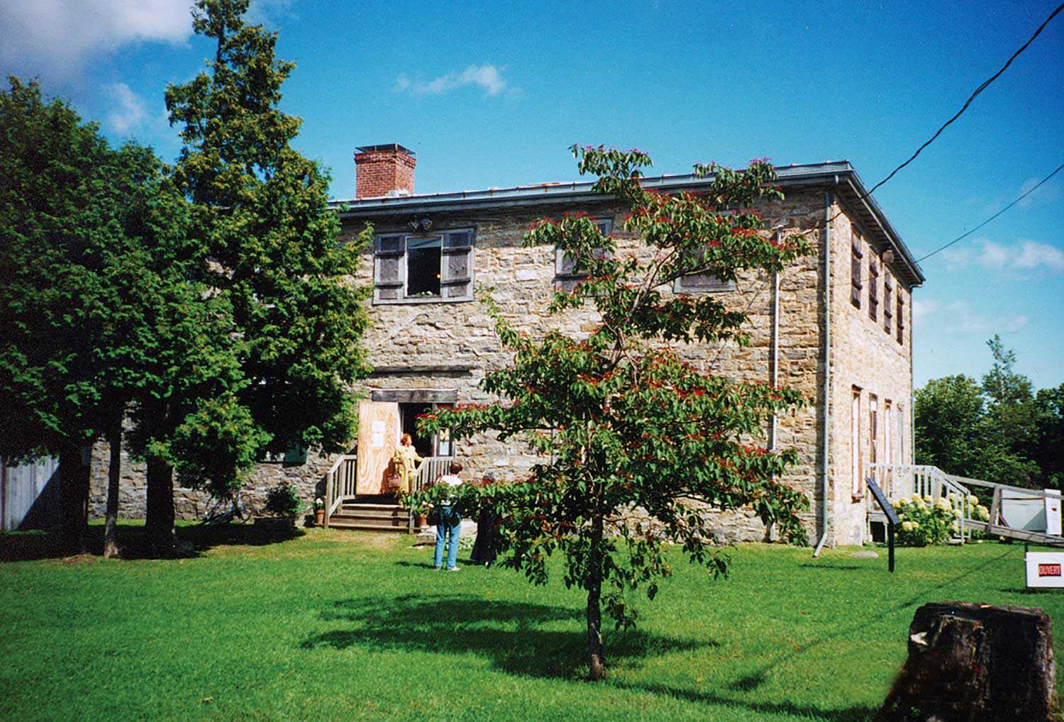
Unearthing the past: Discoveries at Macdonell-Williamson House
Built in 1817, Macdonell-Williamson House in eastern Ontario reflects the ambitions and aspirations of retired fur trader, John Macdonell. His life was fraught with financial...![]()

- 08 Sep 2005
- Buildings and architecture
Tools for conservation - Author: Ontario Heritage Trust,
The healthy roof: Staying on top of heritage preservation
The following excerpt appears in Well-Preserved: The Ontario Heritage Foundationʼs Manual of Principles and Practice for Architectural Conservation (Third Revised Edition), by Mark Fram (Boston...![]()
- 08 Sep 2005
- Buildings and architecture
Tools for conservation - Author: Barbara Heidenreich and Jeremy Collins,
New natural heritage easement properties
John Edward (Ted) Greenwood Sanctuary On March 30, 2005, the Ontario Heritage Foundation received – from Mary Greenwood of Nakara, Australia – a 100-acre (40-...![]()
- 19 May 2005
- Buildings and architecture
Tools for conservation - Author: Ontario Heritage Trust,
Working with superstructures: The framework for Ontario's heritage buildings
Last issue, we discussed the importance of a solid foundation when preserving heritage structures. In this issue, we see how a buildingʼs skeleton holds everything...![]()
We're Social
Keep up with our latest news and information

- Accessibility
- Privacy statement
- Terms of use
- © King's Printer for Ontario, 2023
- Photos © Ontario Heritage Trust, unless otherwise indicated.
- Accessibility
- Privacy statement
- Terms of use
- © King's Printer for Ontario, 2023
- Photos © Ontario Heritage Trust, unless otherwise indicated.