


Browse by category
- Adaptive reuse
- Archaeology
- Arts and creativity
- Black heritage
- Buildings and architecture
- Communication
- Community
- Cultural landscapes
- Cultural objects
- Design
- Economics of heritage
- Environment
- Expanding the narrative
- Food
- Francophone heritage
- Indigenous heritage
- Intangible heritage
- Medical heritage
- Military heritage
- MyOntario
- Natural heritage
- Sport heritage
- Tools for conservation
- Women's heritage
- Home
- Adaptive reuse
- Archaeology
- Arts and creativity
- Black heritage
- Buildings and architecture
- Communication
- Community
- Cultural landscapes
- Cultural objects
- Design
- Economics of heritage
- Environment
- Expanding the narrative

Expanding the narrative
 This is part of a broader conversation about whose history is being told, about gender, people of colour and the economically disenfranchised, and others whose stories have been overlooked or intentionally omitted from the authorized discussion.
- Food
- Francophone heritage
- Indigenous heritage
- Intangible heritage
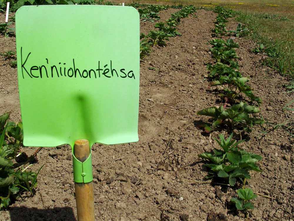
Intangible heritage
Intangible cultural heritage includes language, traditions, music, food, special skills, etc.
- Medical heritage
- Military heritage
- MyOntario
- Natural heritage
- Sport heritage
- Tools for conservation
- Women's heritage
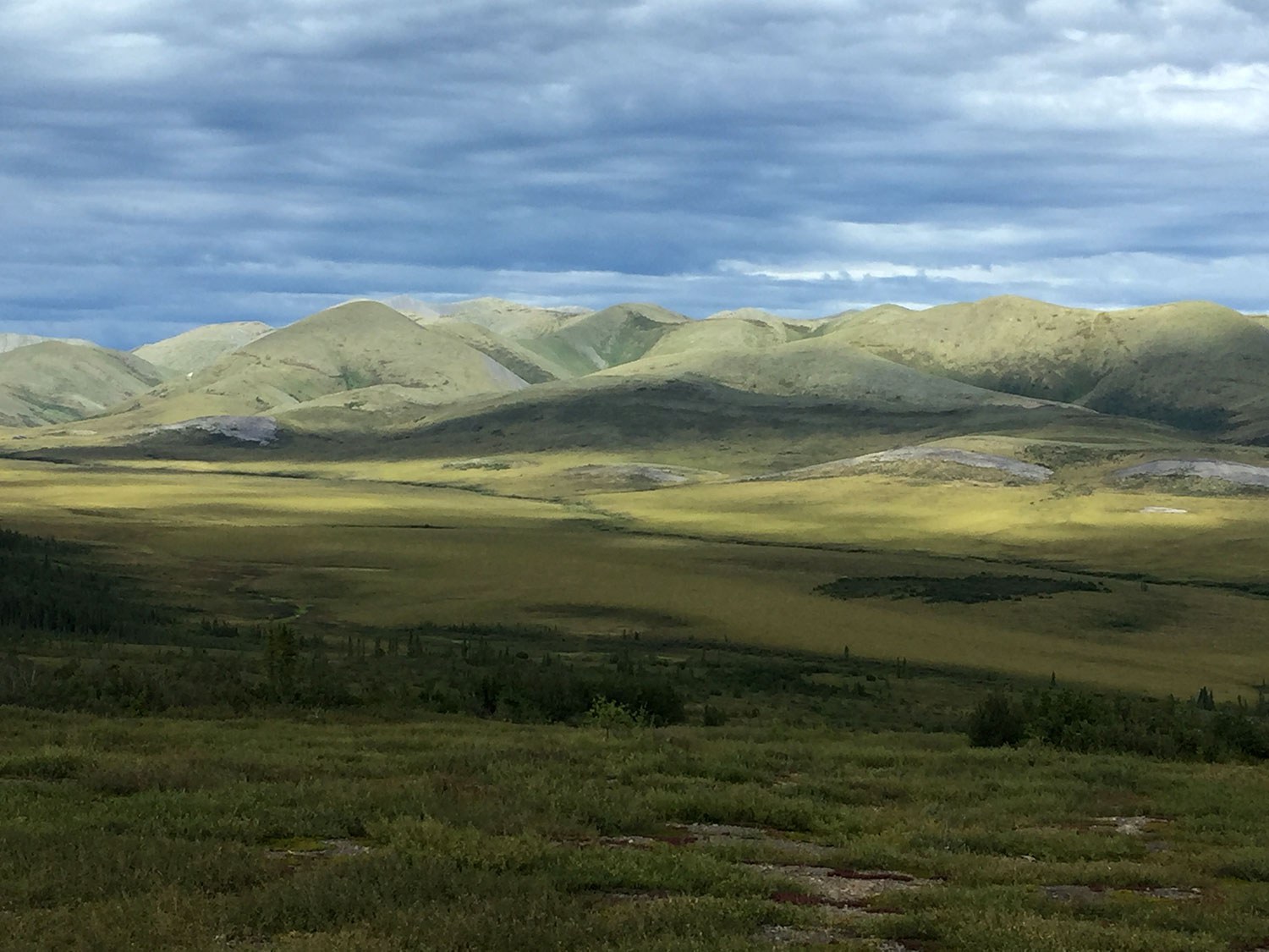
The evolution of the agricultural cultural landscape
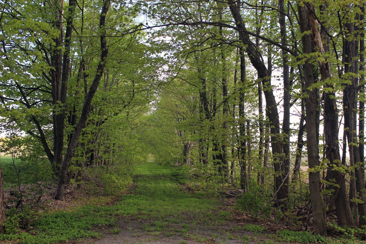
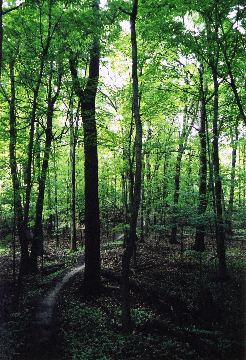
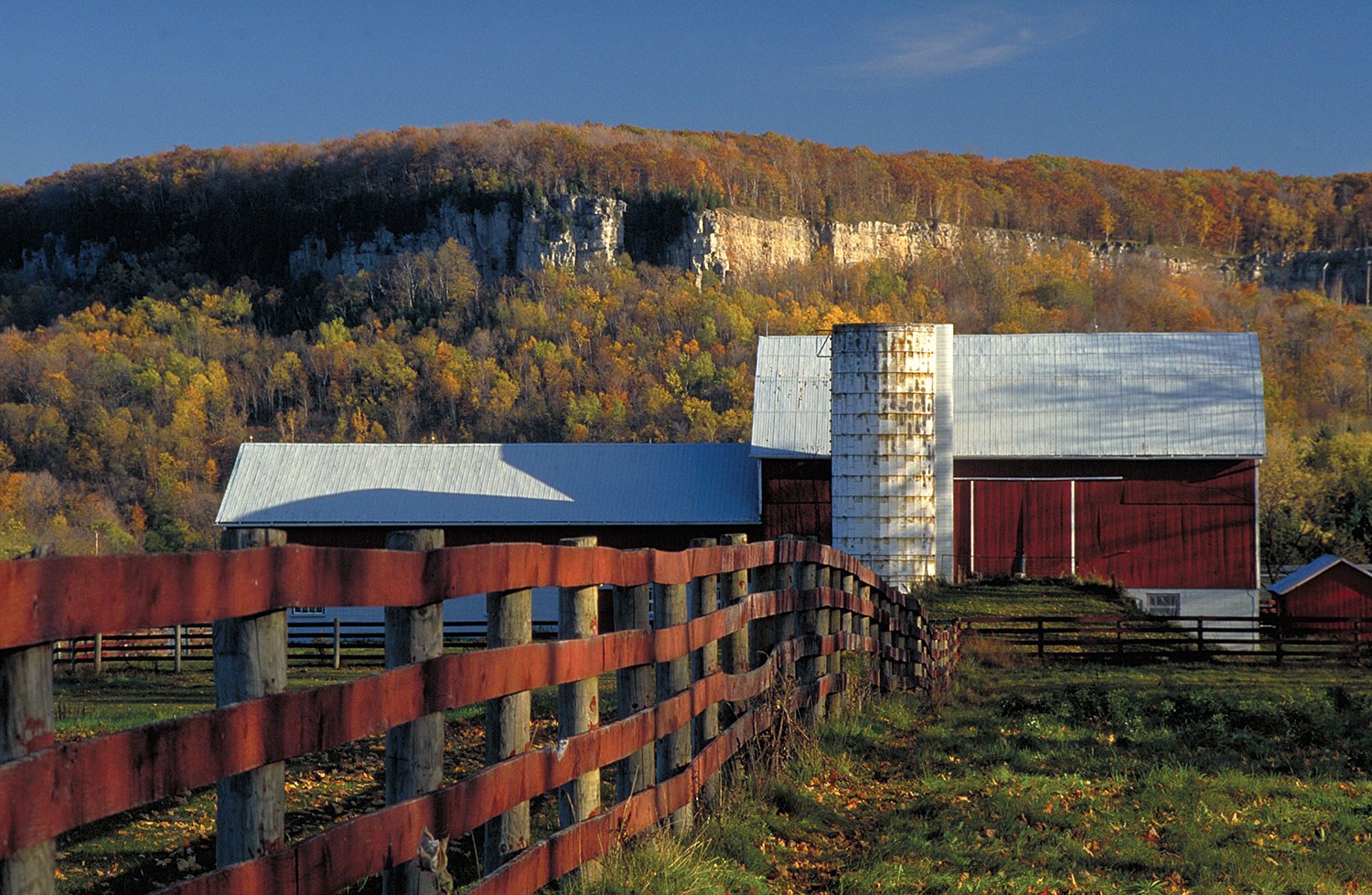
The agricultural cultural landscape visible today is a comprehensive record of the small- and large-scale changes in the industry that at one time was a driving force in the province’s economy. Today, many of the changes occurring in the farming community are impacting the unique rural character first established in the 19th century by British surveyors who laid out a grid pattern of concessions and side roads across the province. This grid created the framework for settlement and supported the efficient layout of 100- and 200-acre (40- and 80-hectare) mixed farms that remained the most prominent form of farming well into the mid-20th century.
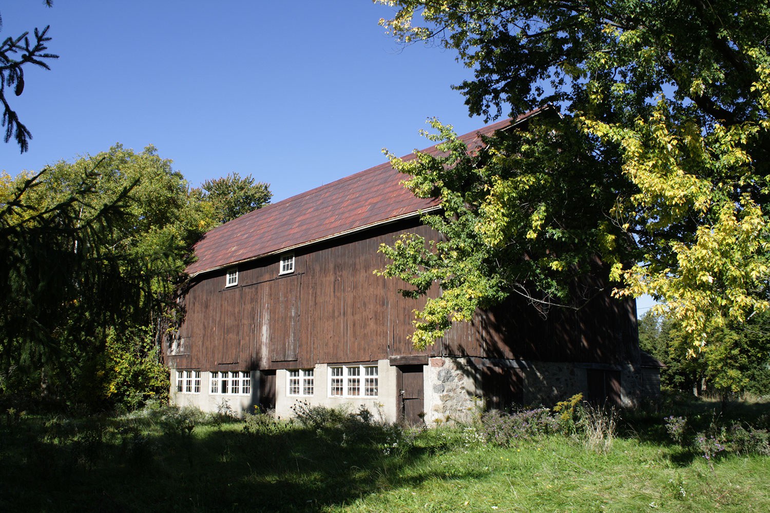
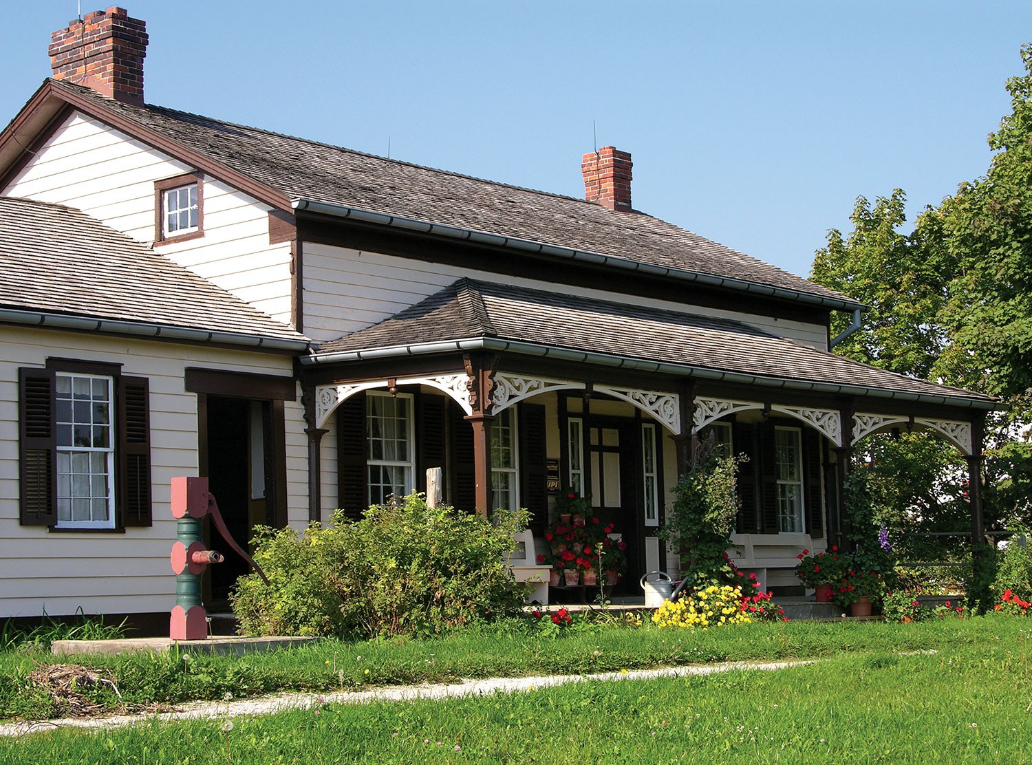
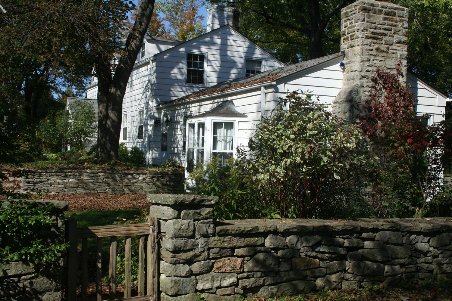
The mixed farm model was an extremely efficient organization of farm family labour, animal husbandry and crop production. It created a distinctive layout and division of the farm into eight to 10 fenced fields, a small managed woodlot for fuel and timber, a farmstead core dominated by a large timber barn for the farm animals and hay and grain storage, numerous outbuildings, and a spacious farmhouse surrounded by gardens and an orchard.
The division of the landscape into the domestic activities of the farm women and the production area of the farm men was guided by a well established layout pattern centred on the farm lane that linked the back fields and the farm core to the public road. Each of the fields was fenced to control the farm animals; trees and shrubs were allowed to grow along these fencerows, creating a well-defined border to each field. Within the farm core area, the farmer planted sugar maple and Norway spruce treelines to act as windbreaks and to define the boundary of the heart of the farm. Today, in many areas, these landmark treelines are the only remaining evidence of a former farm location.
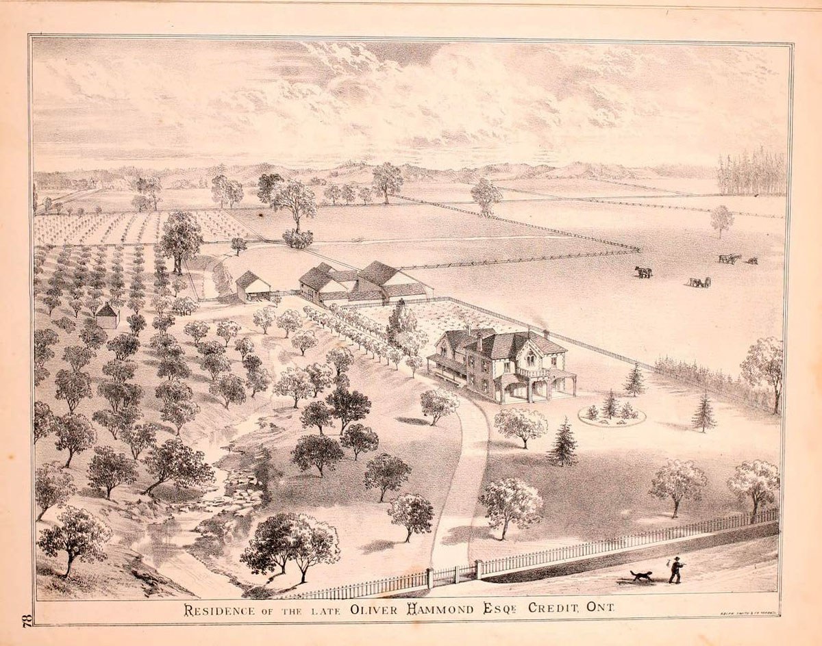
This historical atlas sketch illustrates the ideal mixed farm layout. The farmhouse, barn and outbuildings are efficiently arranged along the laneway that links the fields and the farm core with the public road. (From the 1877 version of the Illustrated Historical Atlas of the County of Peel.)
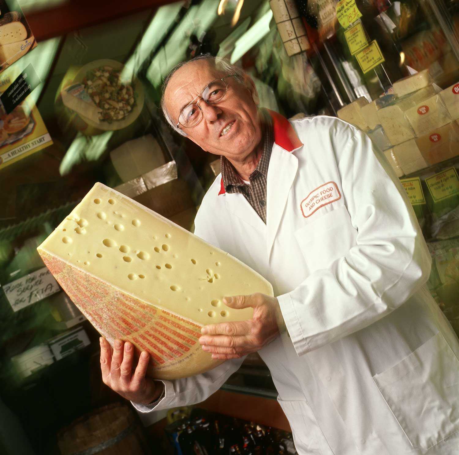
Within the mixed farming environment, churches, cemeteries, schools and small enterprises created a community identity and local industry. For example, in the 1800s, there were 98 cheese factories operating in the countryside of Oxford County – close to the source of the milk and cream on which they depended.
The mixed farming economy improved in the early 20th century with the expansion of Niagara’s electric power into rural areas. This advance hastened the dramatic change in farm practices. As well, new efficiencies were gained by replacing horse power with tractors. As larger mechanized equipment became more effective, extra farmland was required to keep the farm profitable. As a result, by the mid-20th century, the size of farm holdings grew with the consolidation of multiple farms into single ownerships. As additional farms were acquired, many of their farm buildings and fencerows became redundant and were demolished. As farmers changed to large-scale cultivation of specialized crops – such as corn – the mixed farming pattern was all but erased.
Farmers have consistently been innovative in their farming practices, changing quickly to different crops and equipment in response to market conditions. This change has resulted in the constant evolution of the rural landscape caused by the nature of the agriculture industry itself.
Today, the rural landscape is also facing pressure for change from outside the farming community. New infrastructure installations – such as communications towers, transmission lines, solar panel stations and wind turbines – are adding large structures to the farming environment. Similarly, suburban development to the limits of our urban boundaries, and the expansion of employment areas on the edges of many small towns, have created land-use changes that alter the historic pattern of agricultural use and, in turn, create more demand for road improvements and services.
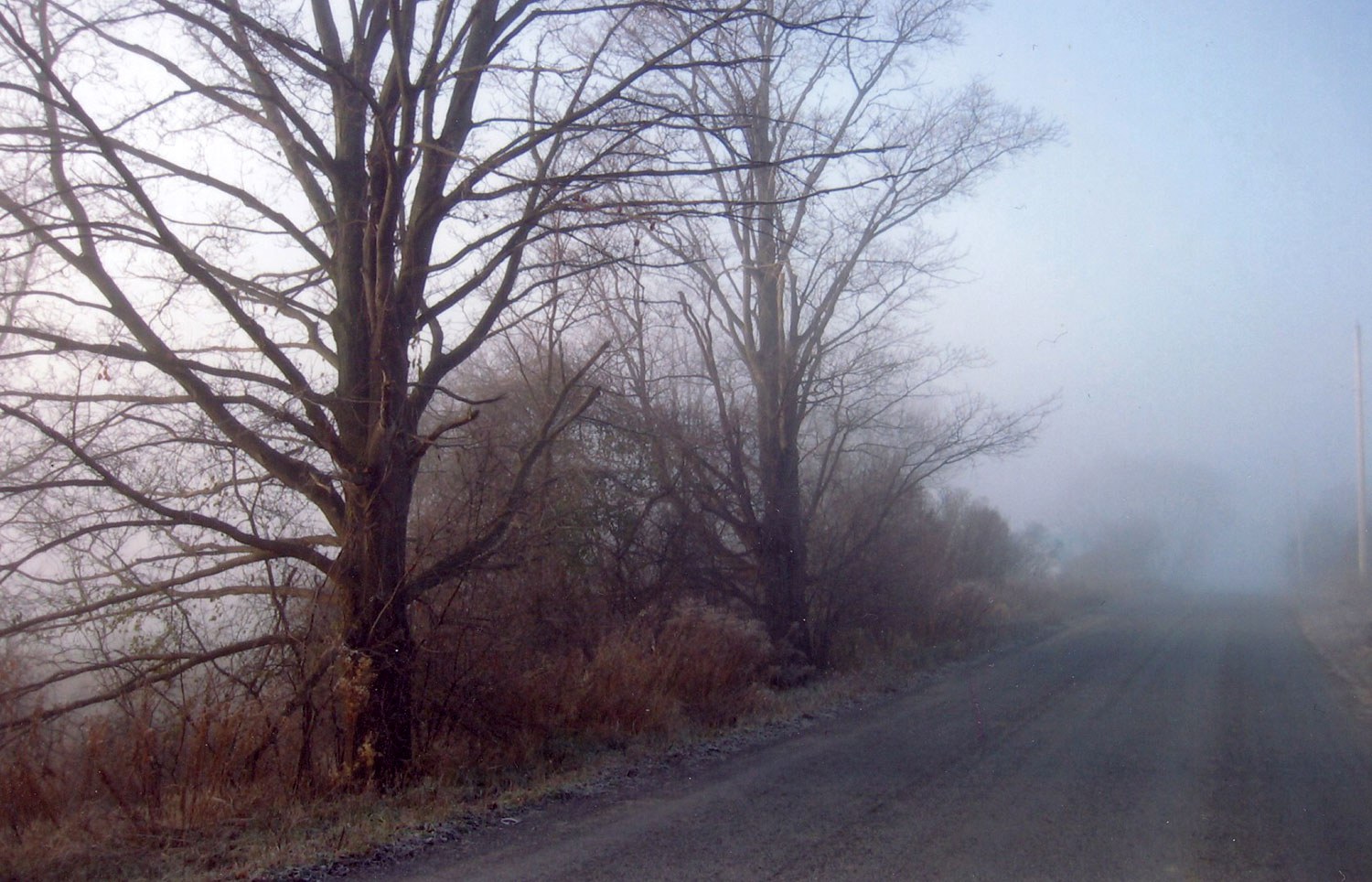
The traditional rural road had a narrow cross-section and was lined with naturalized vegetation and deliberately planted trees. In many areas, mature sugar maples still shade these back roads, adding to their appeal as scenic routes. These roadside edges, however, are vulnerable to road-widening improvements needed to accommodate increased traffic.
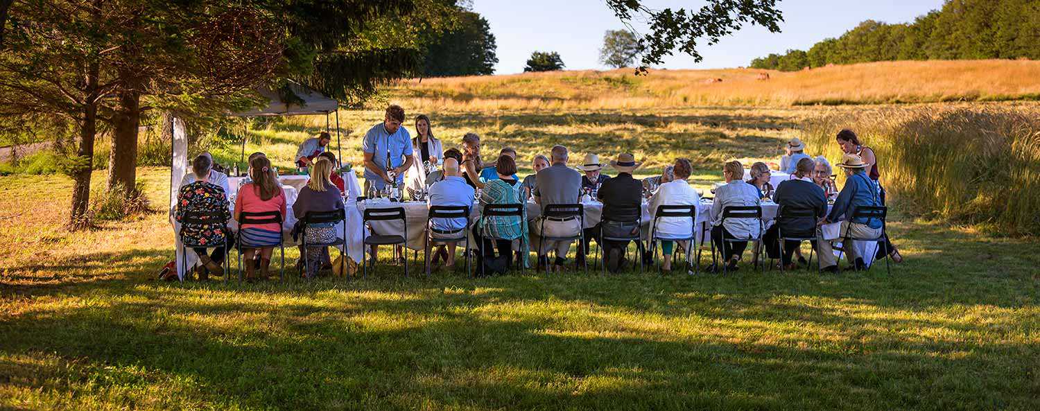
Despite these developments, glimpses of the historic pattern of agriculture still exist in some parts of the province. For example, the farmers in the Waterloo region are generating some of Ontario’s highest receipts despite a reliance on traditional horsepower on farms averaging 64 hectares (159 acres). Furthermore, throughout the province, a new generation of farmers is successfully experimenting with a range of new products and specialized crops for niche markets. This change is creating new patterns of farm buildings within the historic country road grid, the foundation of the agricultural landscape. This ongoing evolution of the landscape is clearly evident to any traveller who ventures off the highway to see what’s up at the farm.
RelatedStories
- 15 Aug 2023
- Food
- Author: Lydia Treidlinger,
A recipe for early Canadian culinary identity
Food, cooking and eating as universal experiences have always been an important part of our identity. As a necessity for survival, food knowledge, traditions and...![]()
- 01 Oct 2019
- Economics of heritage
Buildings and architecture
Community
Food
Adaptive reuse - Author: Erin Semande,
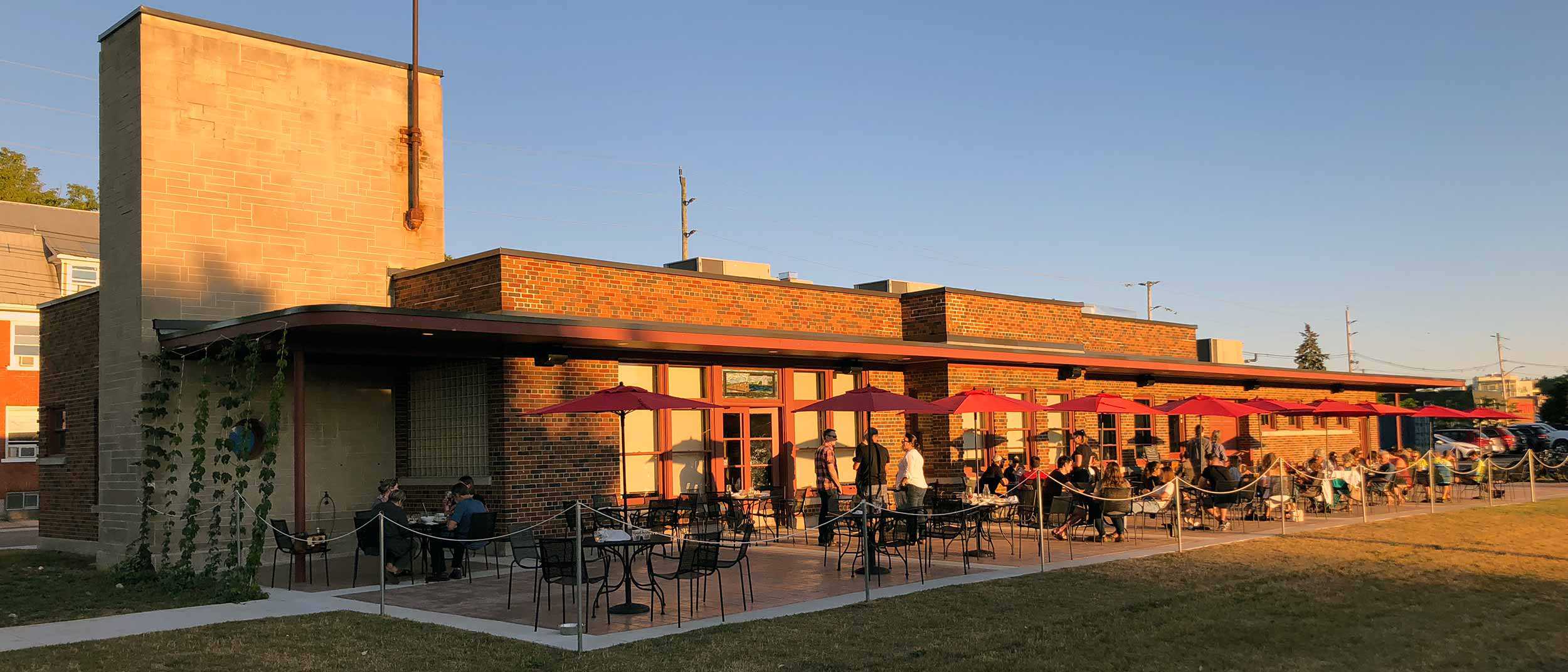
Case study: Mudtown Station Brewery and Restaurant (Owen Sound)
Location: 1198 1st Avenue East, Owen SoundOwner: City of Owen SoundPartners: Kloeze Family (Mudtown Station Inc.)Original use: Passenger train station (Owen Sound Canadian Pacific Railway...![]()
- 08 Sep 2017
- Intangible heritage
Arts and creativity
Food - Author: Grayden Laing,
Back to the farm
My parents (Ken and Martha Laing) decided to forgo fossil fuels to protest the first Gulf War – driven by anticonsumerism, pacifism but also by...![]()

- 08 Sep 2017
- Intangible heritage
Food - Author: Jordan St. John,
Lost breweries of Toronto
As an artifact, beer can tell you a lot about the culture that develops it. Take Molson Canadian as an example. That brand sums up...![]()
![Rose Lieberman, Rose [Hanford?] Green and Aaron and Sarah Ladovsky in front of United Bakers restaurant, Spadina Ave., Toronto, 1920. Ontario Jewish Archives, Blankenstein Family Heritage Centre, fonds 83, file 9, item 16.](https://www.heritage-matters.ca/uploads/Articles/SoupsOn_Archival_3505.jpg)
- 08 Sep 2017
- Intangible heritage
Food - Author: Jennifer Goldberg,
Soup’s on: A 105-year-old restaurant maintains Jewish food heritage in Toronto
From an interview with Ruthie Ladovsky. Ladovsky is a co-owner of United Bakers Dairy Restaurant in Toronto. If you’re going to order just one thing...![]()
- 08 Sep 2017
- Intangible heritage
Food - Author: Erin Semande,
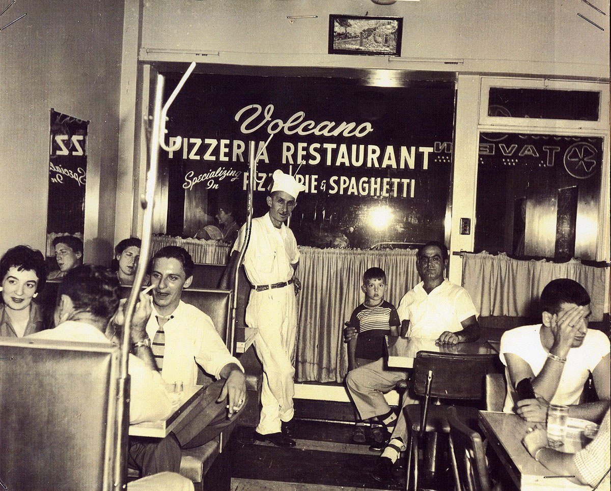
The proof is in the pizza
Around the lunch table at my office, I talk a lot about my experiences growing up outside of Windsor, Ontario – working at Chrysler, being...![]()
- 09 Sep 2016
- Cultural landscapes
- Author: Matthew Somerville,
The changing landscape of farming
Growing up on a small family farm, I have witnessed the benefit and impact of technology on agricultural landscapes. In the 1980s, our barn was...![]()
- 09 Sep 2016
- Cultural landscapes
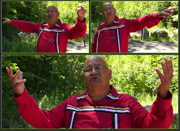
- Author: Paul General,
I’m not hunting on your farm … you’re farming on my hunting territory
My people – the Haudenosaunee – have been part of the land along the Grand River for millennia, while other cultures have been here since...![]()
- 09 Sep 2016
- Cultural landscapes
- Author: Wendy Shearer,
Reading the landscape
An important value of learning to observe and understand the cultural landscape is to see how natural features and processes have been modified or enhanced...![]()
- 09 Sep 2016
- Cultural landscapes
- Author: Christopher Andreae,
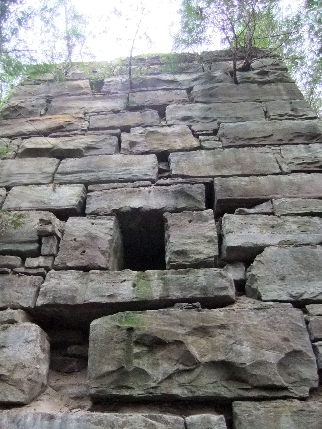
Industrial cultural landscapes: Fragile and fugitive
Appreciating industrial cultural landscapes can be challenging due to the diversity of industrial activities and locations. The variation between rural and urban landscapes described below...![]()
- 09 Sep 2016
- Cultural landscapes
- Author: Gerald Hill,
Where is who we are
What might I mean by landscape holds us? When we open our eyes, we see light. We open our mouths, we breathe air. These are...![]()
- 09 Sep 2016
- Cultural landscapes
- Author: Beth Hanna,
The cultural landscape – A framework for conservation
Heritage conservation is not about the past. It’s about the places that surround us and the diversity of our communities. It’s about ensuring that the...![]()
- 09 Sep 2016
- Cultural landscapes
- Author: Anthony Chegahno,
Nochemowenaing: You don’t need to walk through here (An interview with Anthony Chegahno)
The Ontario Heritage Trust and the Chippewas of Nawash unceded First Nation co-steward lands in northern Bruce Peninsula that are part of an Indigenous cultural...![]()
- 09 Sep 2016
- Cultural landscapes
- Author: Lisa Prosper,
Cultural landscapes: Challenges and new directions
Cultural landscapes were first introduced into the heritage lexicon in the early 1990s as a new type of cultural heritage resource. The typology was a...![]()

- 09 Sep 2016
- Cultural landscapes
- Author: Bob Sutherland,
Reconnecting with Cree culture, language and land: An interview with Bob Sutherland
On July 20, 2016, Sean Fraser from the Ontario Heritage Trust interviewed Bob Sutherland about his experiences and travels reconnecting with Cree relations in the...![]()
- 09 Sep 2016
- Cultural landscapes
- Author: Thomas Wicks,
Tools for conserving cultural landscapes
Landscapes may appear static but they are always changing. Whether by human or natural influences, the changes are constant and often important. So, how do...![]()
- 09 Sep 2016
- Cultural landscapes
- Author: Sean Fraser,
Scotsdale Farm – An experience of interwoven landscapes
Dust stirs up behind the car, shaken by the audible crunch of rubber on gravel as we drive slowly along the fenced laneway leading east...![]()

- 09 Sep 2016
- Cultural landscapes
- Author: Mike Fedyk,
Cultural landscapes, the Métis way of life and traditional knowledge
While the term cultural landscape is not commonly used when discussing Métis land use, it is a concept that Dr. Brian Tucker, who holds a...![]()
- 12 Oct 2012
- Cultural landscapes
- Author: Ontario Heritage Trust,
Resources: Back to the land
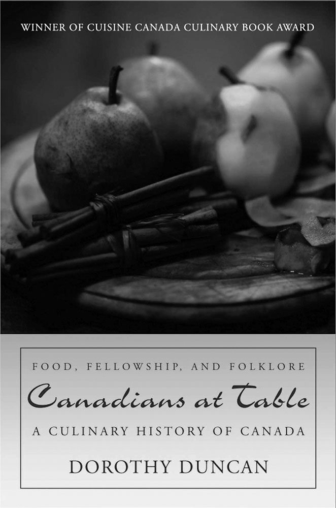
What's on the shelf Canadians at Table: A Culinary History of Canada (by Dorothy Duncan) Dundurn Press, 2011. In Canadians at Table, we learn about...![]()
- 12 Oct 2012
- Community
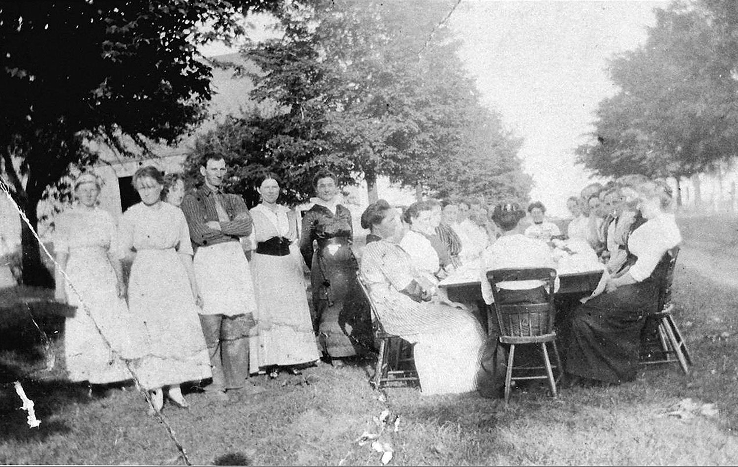
Cultural landscapes - Author: Catharine A. Wilson,
Coming together
Neighbourliness has always been a part of Ontario’s rich agricultural heritage. Much of what we view in the rural landscape today was once created by...![]()
- 12 Oct 2012
- Cultural landscapes
Food - Author: Kathryn McLeod,
Protecting Ontario's agricultural landscapes: Challenges and opportunities
Agriculture is an integral part of Ontario’s story. It has shaped and impacted the growth and development of communities since the province began. Although agriculture...![]()
- 12 Oct 2012
- Cultural landscapes
- Author: Jim Miller and Christopher Miller,
Thistle Ha’: A national historic farm
Thistle Ha’, a farm in Pickering, was settled by Scottish immigrant John Miller in 1839. Miller and his family were renowned for their livestock importation...![]()
- 12 Oct 2012
- Indigenous heritage
Food - Author: Ryan DeCaire,
Understanding indigenous agricultural systems
Throughout a long history, indigenous peoples – with their rich cultural diversities and complexities – have continued to live in a way that works to...![]()
- 07 Oct 2010
- Community
Cultural landscapes - Author: Beth Anne Mendes,
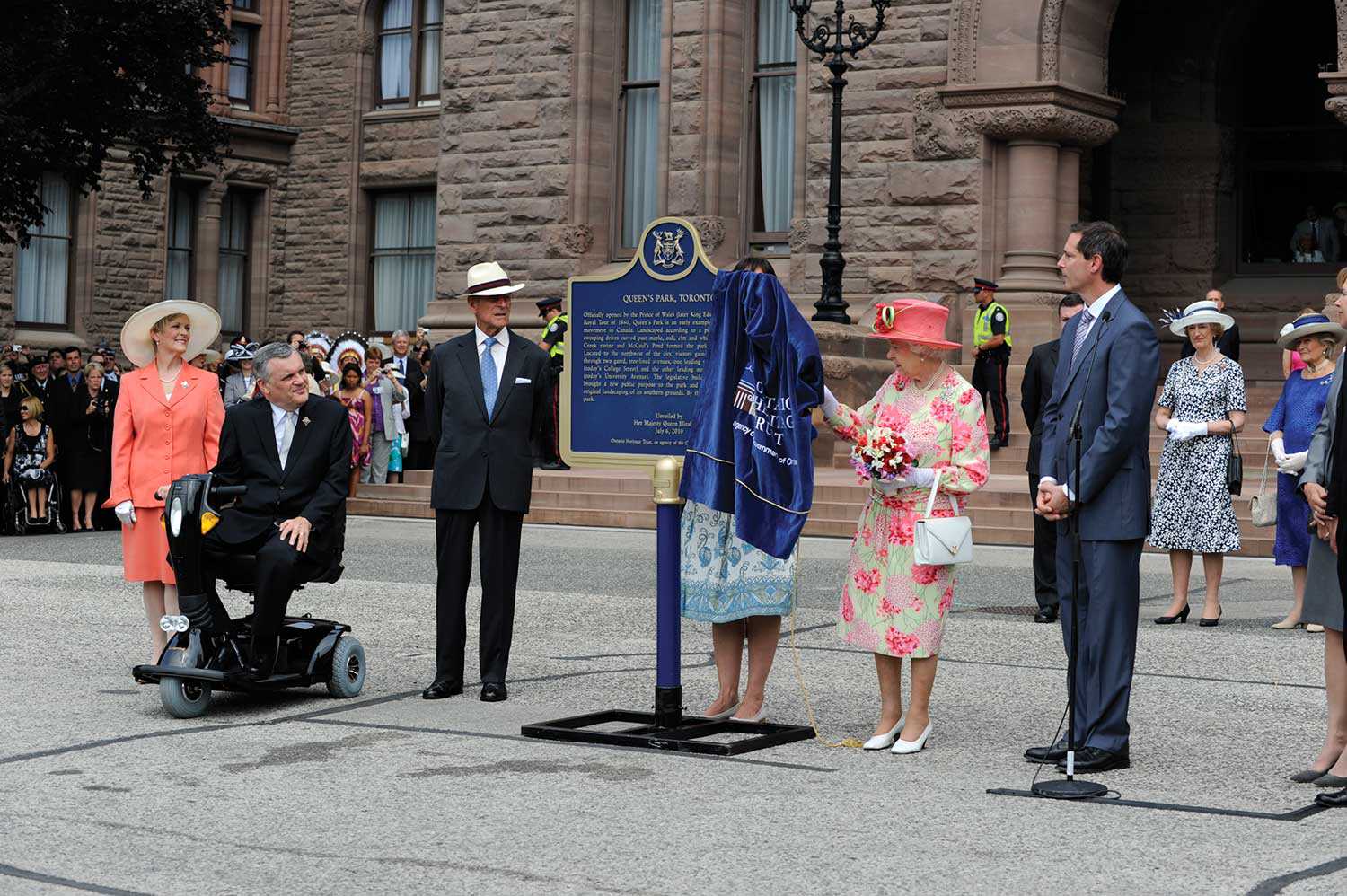
The People’s park
Queen’s Park, Toronto, was officially opened by the Prince of Wales (later King Edward VII) in September 1860, and was a forerunner of the late-19thcentury...![]()
- 11 Feb 2010
- Buildings and architecture
Community
Cultural landscapes - Author: Dave Benson,
The history of Chatham-Kent
Chatham-Kent’s rich cultural heritage began long before European settlement when large stockaded villages and Neutral Indians dominated the Thames River and the Lake Erie-Lake St...![]()
- 10 Sep 2009
- Buildings and architecture
Community
Cultural landscapes - Author: Wendy Shearer,
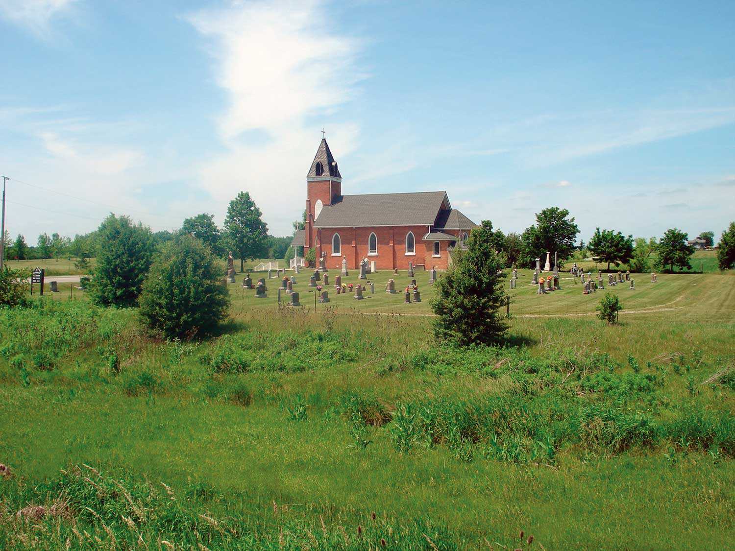
Places of worship in Ontario’s rural cultural landscape
The cultural landscapes of rural southern Ontario contain a variety of heritage resources – land patterns and uses, built forms and natural features. Within these...![]()

- 10 Sep 2009
- Buildings and architecture
Cultural landscapes - Author: Marcus R. Létourneau,
Sacred landscapes in Ontario’s communities
While places of worship are a visible aspect of Ontario’s heritage, they are part of wider cultural landscapes that can include supporting structures, burial places...![]()
- 28 May 2009
- Environment
Tools for conservation
Food - Author: Laura Hatcher,
100-mile conservation
Increasingly, people are becoming more aware of not just what they eat, but where their food originates. While the concept is by no means new...![]()
- 12 Jun 2008
- Buildings and architecture
Community
Cultural landscapes - Author: Sean Fraser,
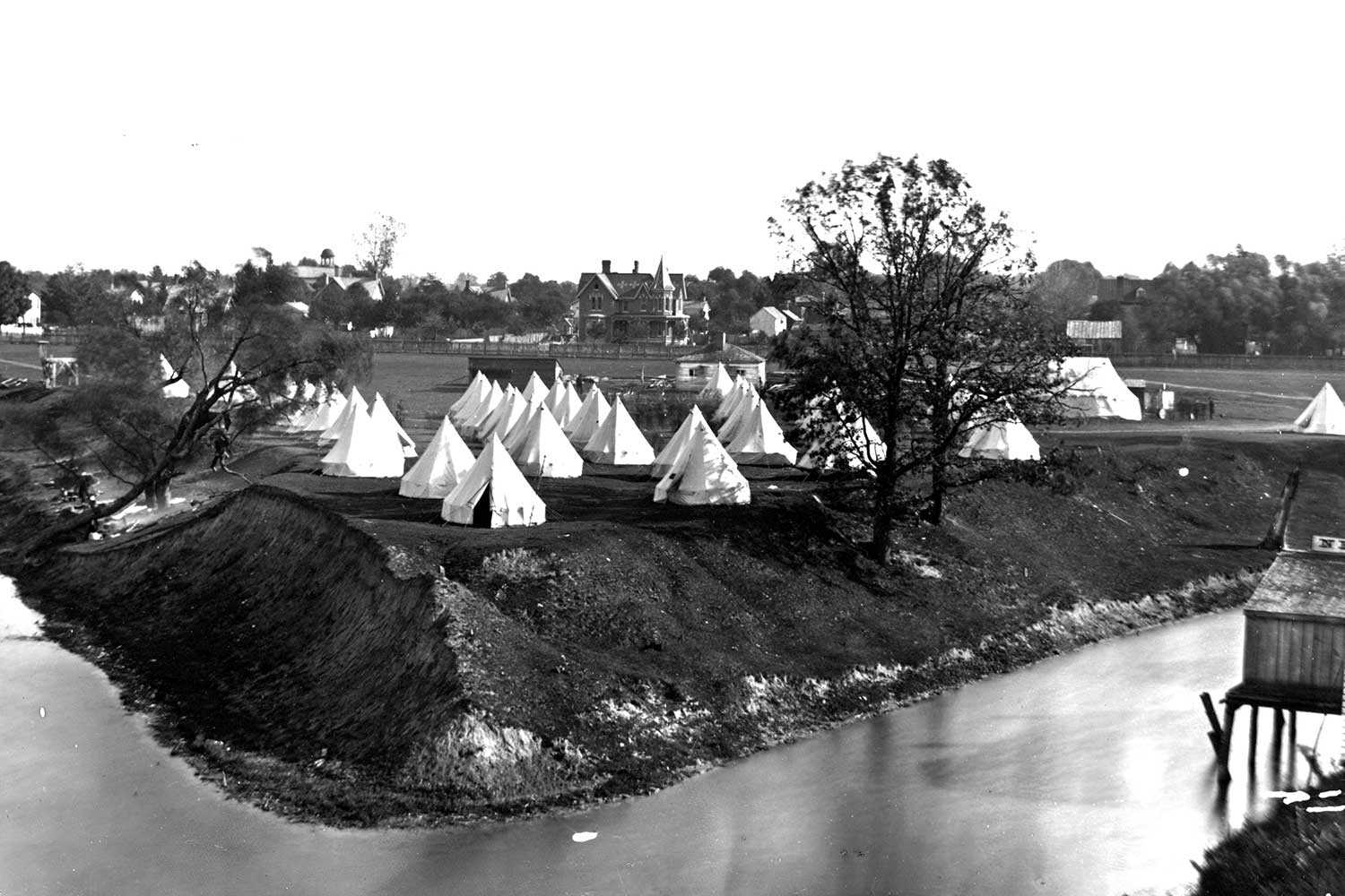
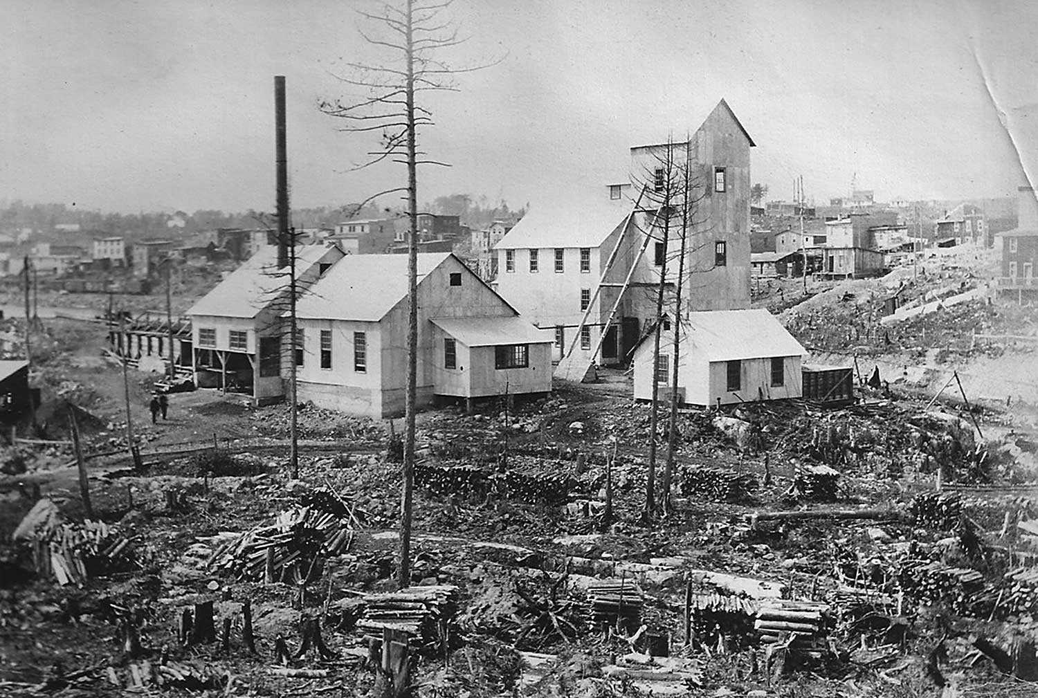
The historical Cobalt Mining District – A community resource
At the turn of the 20th century, Cobalt was a small and isolated lumber camp. In August 1903, two lumbermen – James McKinley and Ernest...![]()
- 07 Sep 2006
- Community
Cultural landscapes - Author: Romas Bubelis,
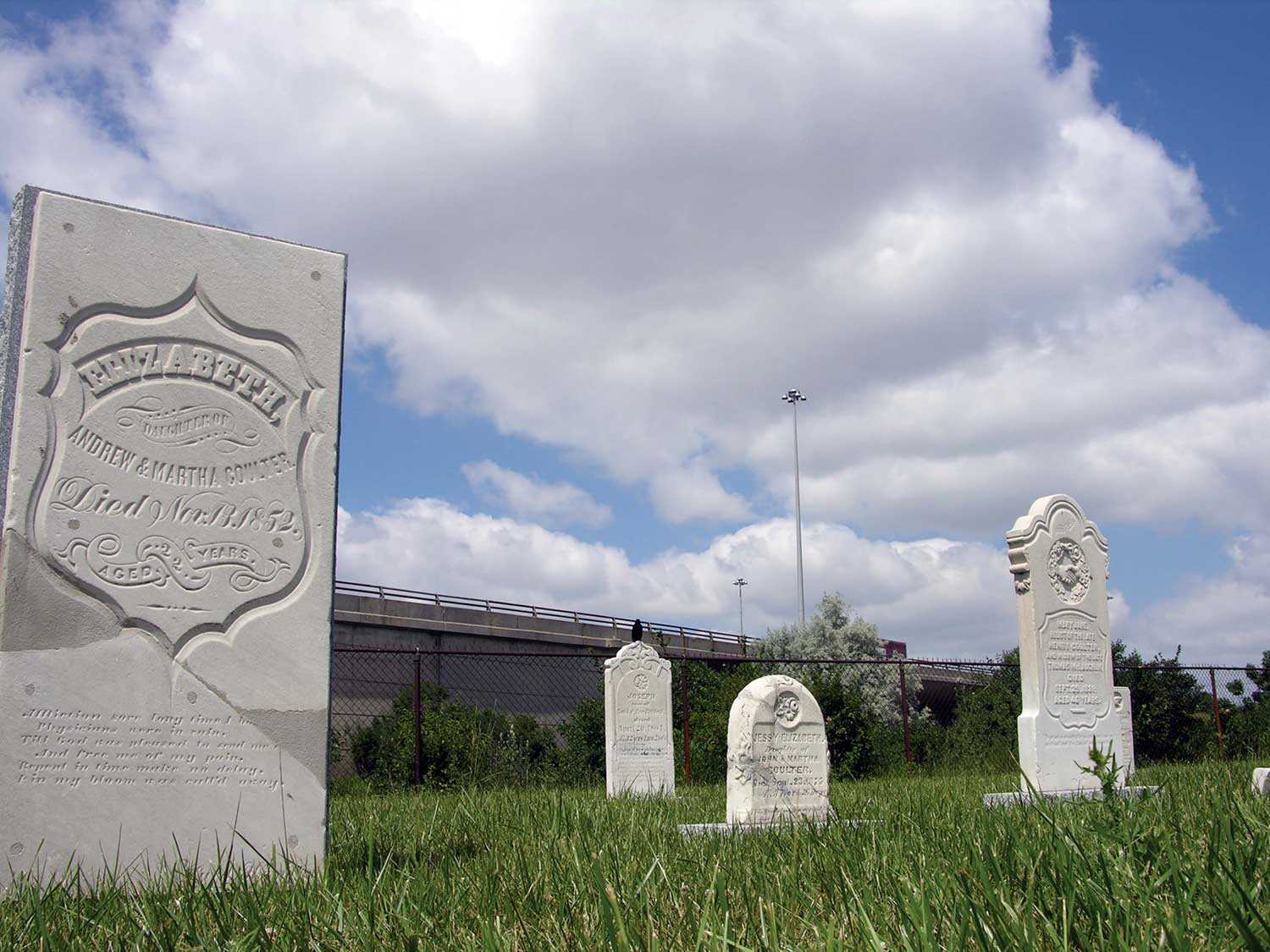
Rush and remembrance
On a windswept summer day in 2005, a small congregation gathered beside a cloverleaf off-ramp at the western fringe of Toronto. In Richview-Willow Grove Cemetery...![]()
- 08 Sep 2005
- Buildings and architecture
Natural heritage
Community
Cultural landscapes - Author: Richard Moorhouse and Beth Hanna,
The new Ontario Heritage Act: The evolution of heritage conservation
An important shift has occurred in Ontario’s legislative framework for heritage conservation. On April 28, 2005, the Ontario Heritage Amendment Act (Bill 60) received royal...![]()
We're Social
Keep up with our latest news and information

- Accessibility
- Privacy statement
- Terms of use
- © King's Printer for Ontario, 2023
- Photos © Ontario Heritage Trust, unless otherwise indicated.
- Accessibility
- Privacy statement
- Terms of use
- © King's Printer for Ontario, 2023
- Photos © Ontario Heritage Trust, unless otherwise indicated.